Description:
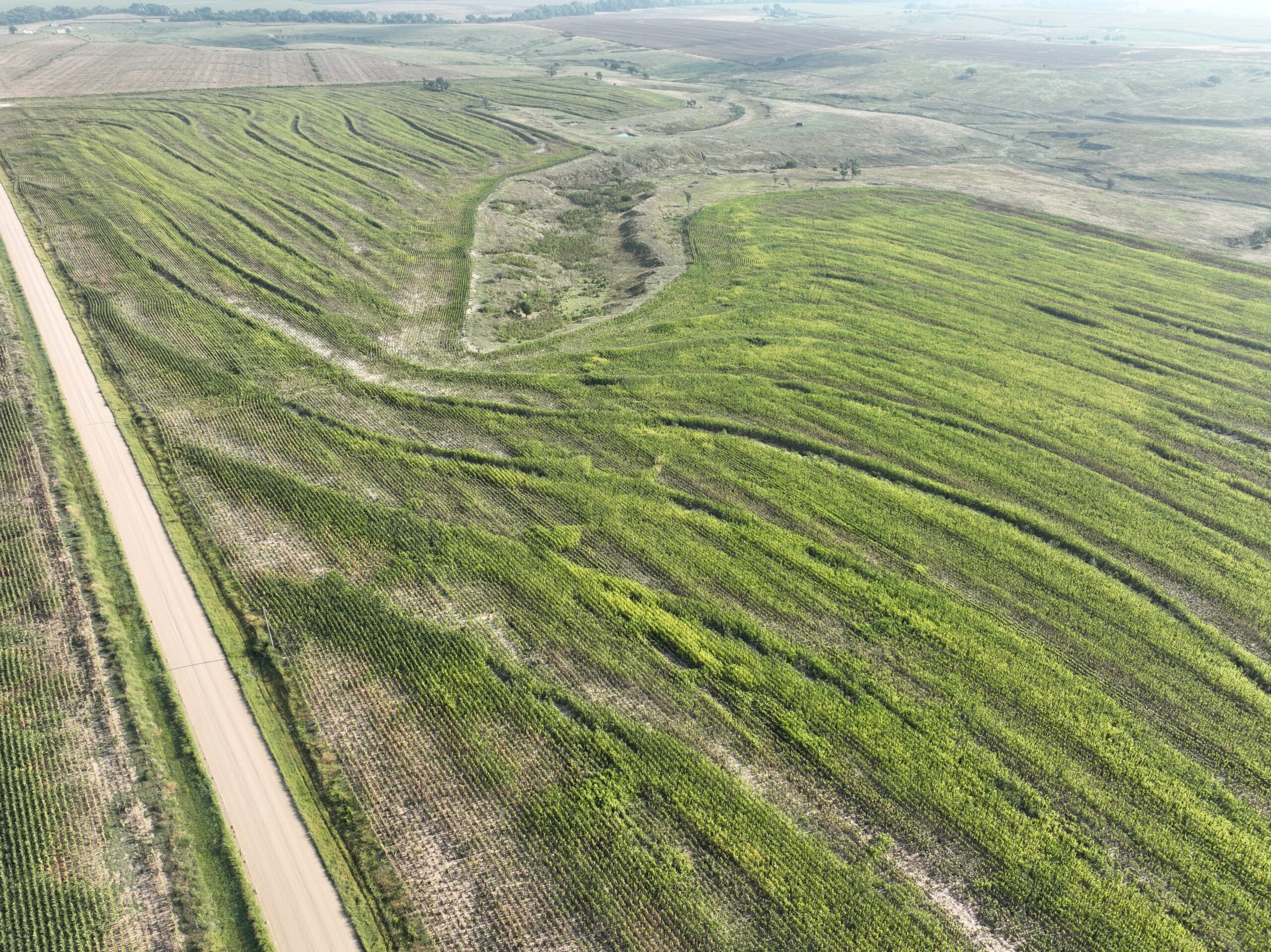
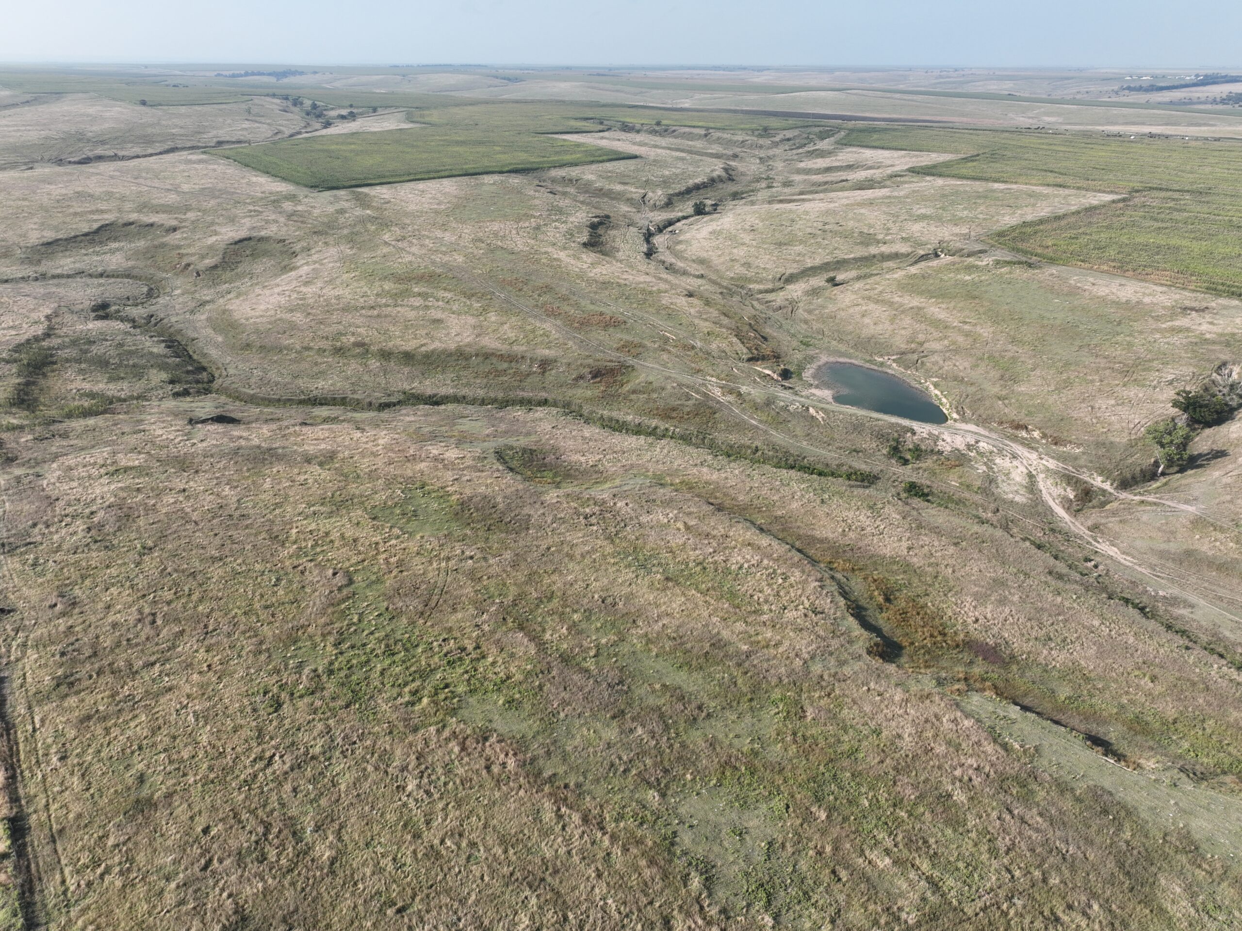
Parcel #1: Furnas County Assessor indicates 304.00 tax-assessed acres. Farm is comprised of productive silt loams for the cropland and hardland silt loams in the pasture.
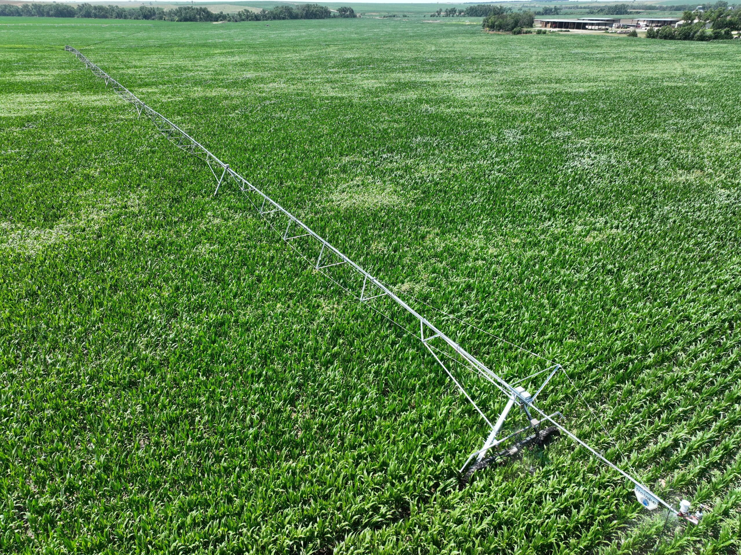
Parcel #2: Furnas County Assessor indicates 128.18 tax-assessed acres. Farm includes a nearly new pivot irrigation system with productive soils.
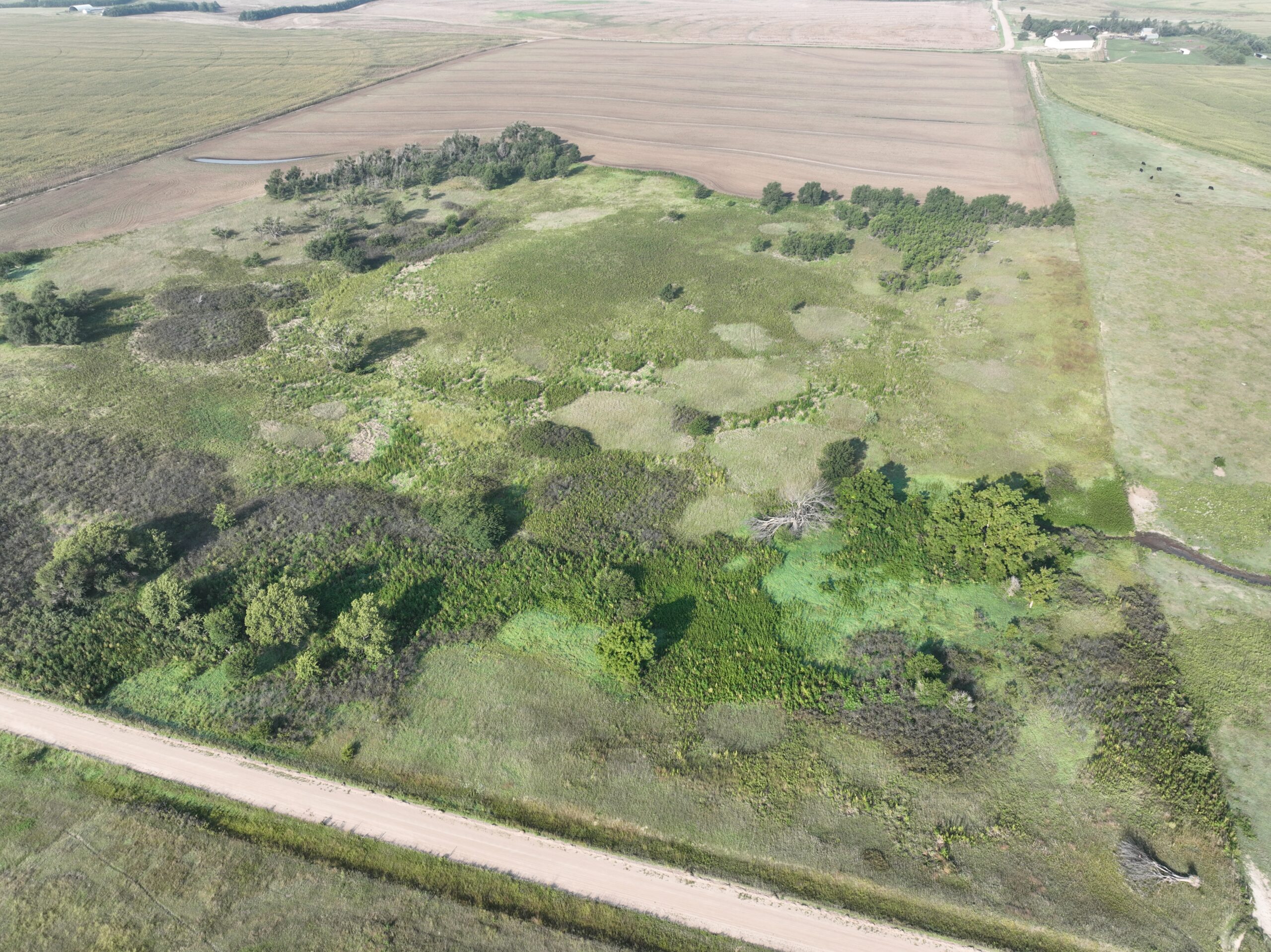
Parcel #3: Furnas County Assessor indicates 76.00 tax-assessed acres. Farm includes highly productive silt loams and county road access along the east and west boundaries.
Location:
Parcel #1 is located approximately 1.5 miles south of the Wilsonville on the east side of Road 413.
Parcel #2 is located just east of Wilsonville at the southeast corner of the intersection of Road 412 and Highway 89
Parcel #3 is located one-half mile east and one mile north of Wilsonville. Drive 413 runs along the west boundary and Road 414 runs along the east boundary.
Legal Description:
Parcel #1: W1/2 Section 1-T1N-R25W of the 6th P.M., Furnas County, Nebraska.
Parcel #2: Part of the SW1/4 Section 25-T2N-R25W of the 6th P.M., Furnas County, Nebraska.
Parcel #3: N1/2 SE1/4 Section 24-T2N-R25W of the 6th P.M., Furnas County, Nebraska.
LIST PRICE:
Parcel #1: UNDER CONTRACT 10/22/2024Parcel #2: UNDER CONTRACT 10/02/2024
Parcel #3: UNDER CONTRACT 9/14/2024
TAXES (2023):
Parcel #1: $4,486.94Parcel #2: $5,466.08
Parcel #3: $1,477.70
ACRES:
Parcel #1: 304.00 tax-assessed acresParcel #2: 128.18 tax-assessed acres
Parcel #3: 76.00 tax-assessed acres
LOCATION & ACCESS:
Parcel #1 is located approximately 1.5 miles south of Wilsonville on the east side of Road 413.Parcel #2 is located just east of Wilsonville at the southeast corner of the intersection of Road 412 and Highway 89
Parcel #3 is located one-half mile east and one mile north of Wilsonville. Drive 413 runs along the west boundary and Road 414 runs along the east boundary.
IRRIGATION INFORMATION (PARCEL #2):
116.90 Certified Irrigated Acres (CIAs) from the Lower Republican NRD. North pivot system is tenant owned and is not included. South pivot system is a 2023 7-tower Reinke with drop nozzles. This system also crosses onto Nebraska Board of Educational Lands & Funds with well A-006766 registered to provide 600 gpm. There are an additional 42.5 CIAs associated with the BELF ground that this system irrigates.Well Registration:
G-107525 at 375gpm
G-034159 at 240gpm
G-051215 at 110gpm
FARM SERVICE AGENCY INFORMATION:
All cropland is Non-Highly Erodible LandParcel #1:
135.52 acres of cropland
14.24 base acres of wheat with PLC yield of 38
75.97 base acres of corn with PLC yield of 117
11.18 base acres of soybeans with PLC yield of 47
Parcel #2:
125.61 acres of cropland
12.84 base acres of wheat with PLC yield of 38
68.48 base acres of corn with PLC yield of 117
10.08 acres of soybeans with PLC yield of 47
Parcel #3:
50.21 acres of cropland
5.22 base acres of wheat with PLC Yield of 38
27.82 base acres of corn with PLC yield of 117
4.1 base acres of soybeans with PLC yield of 47
Property Maps
Click thumbnail to open a full size image.