Description:
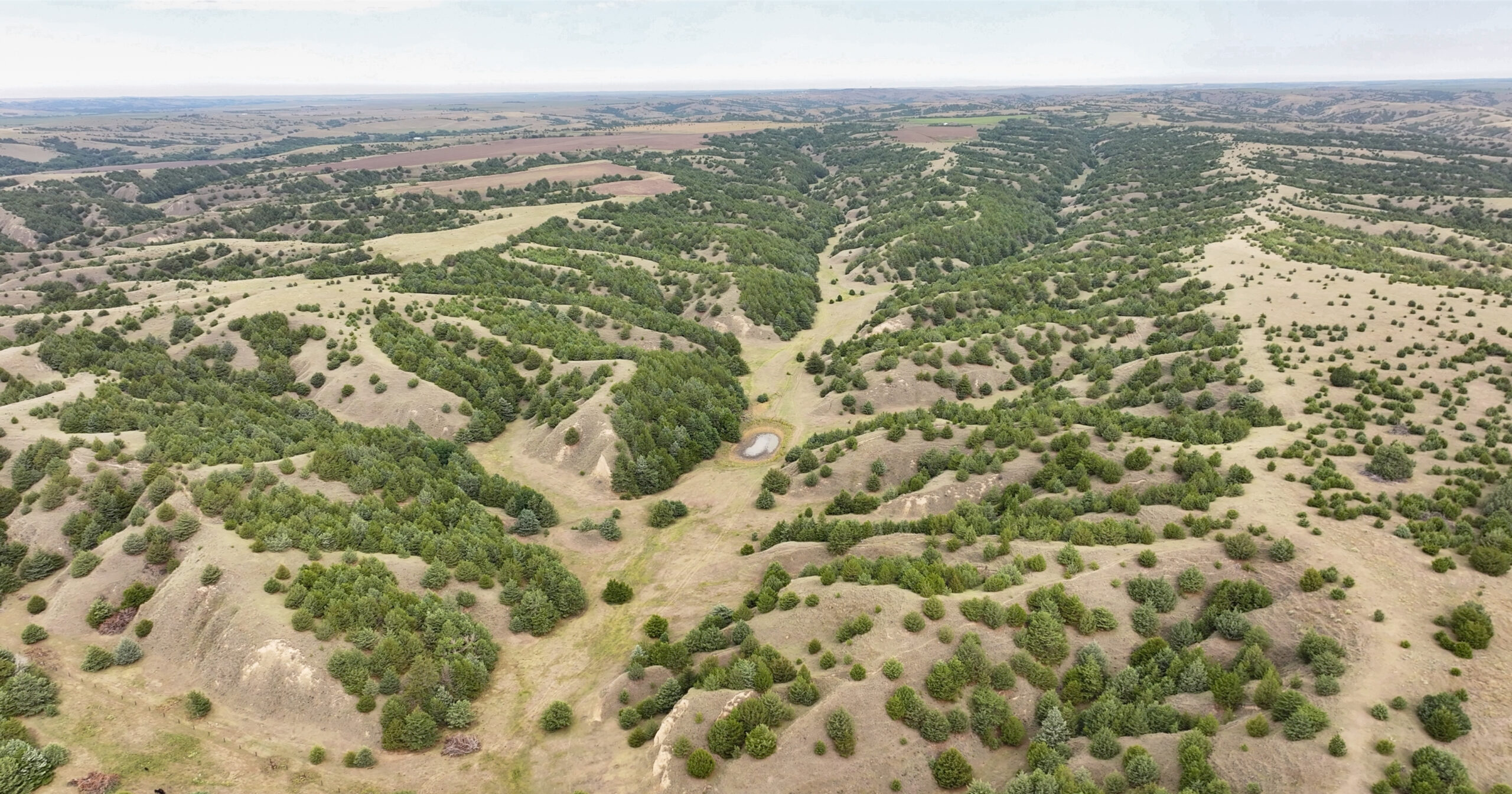
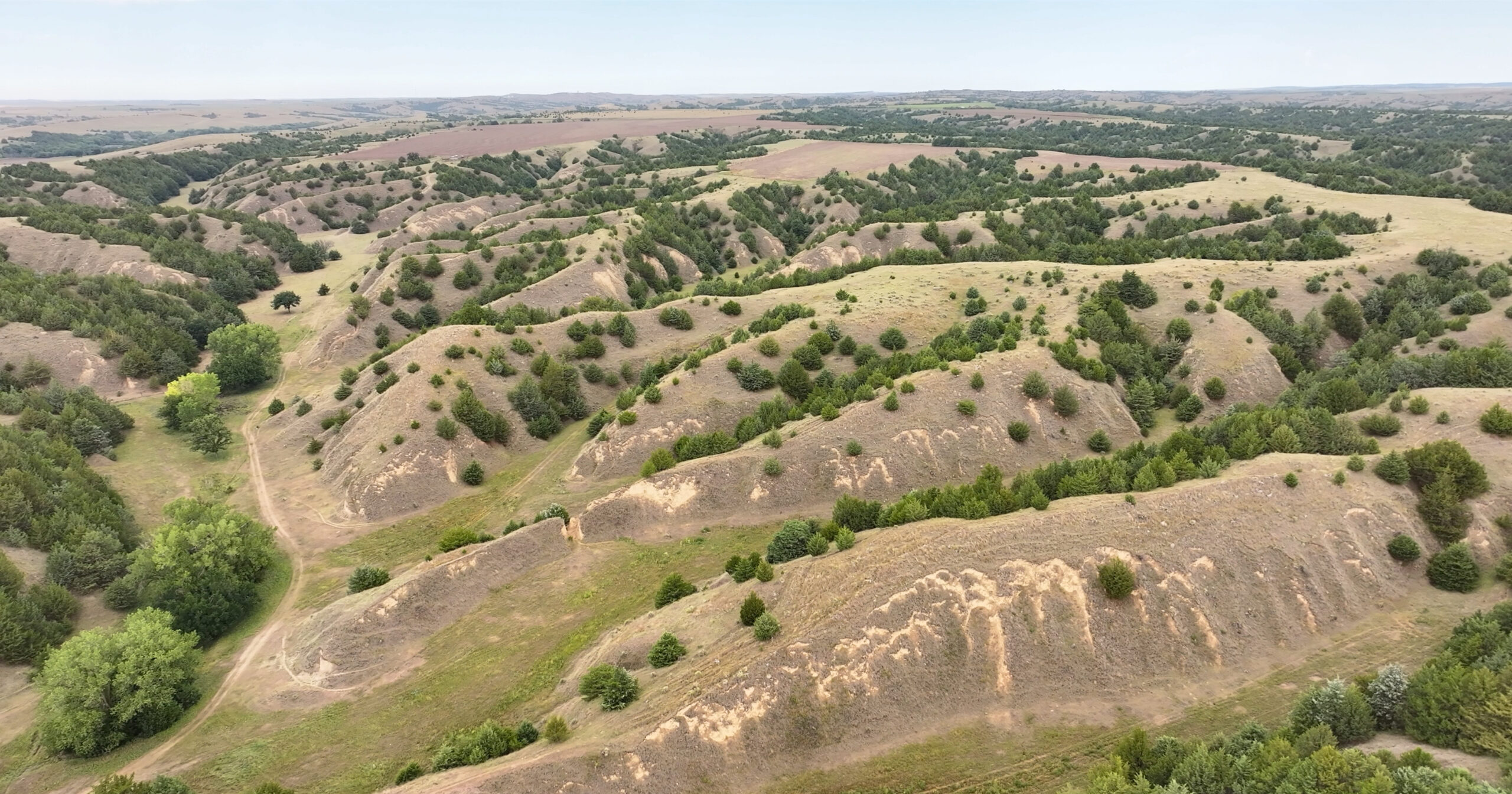
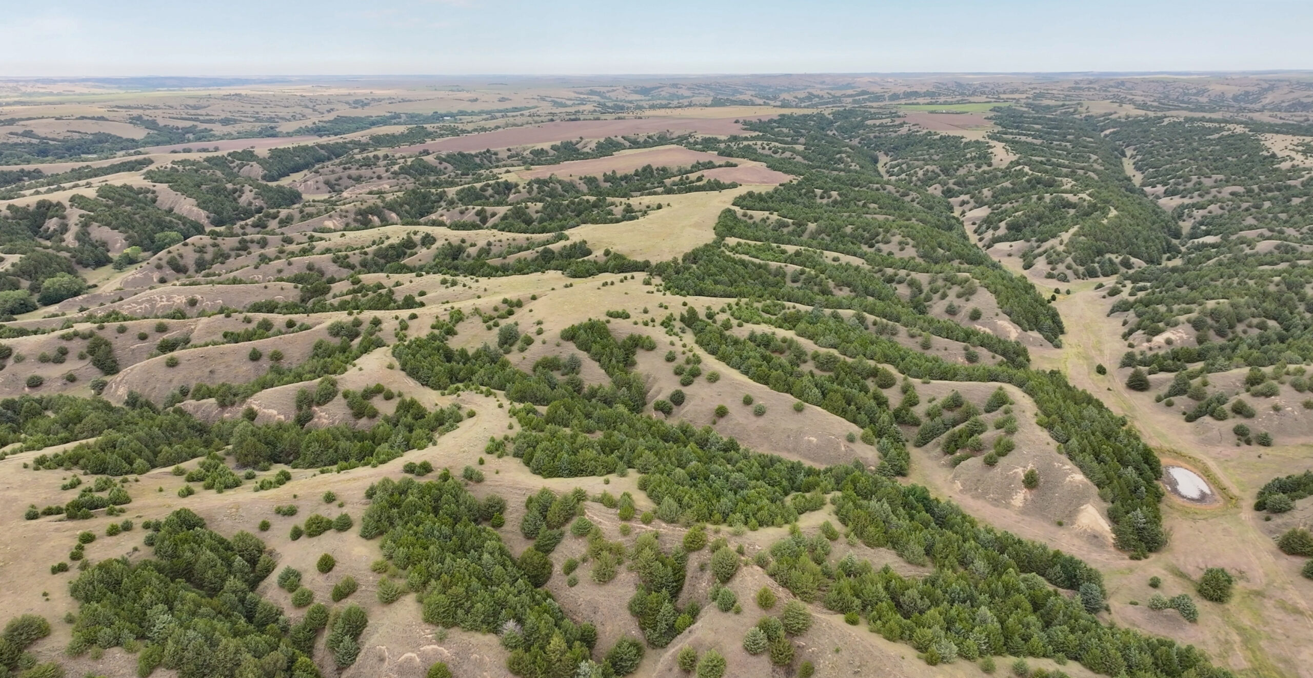
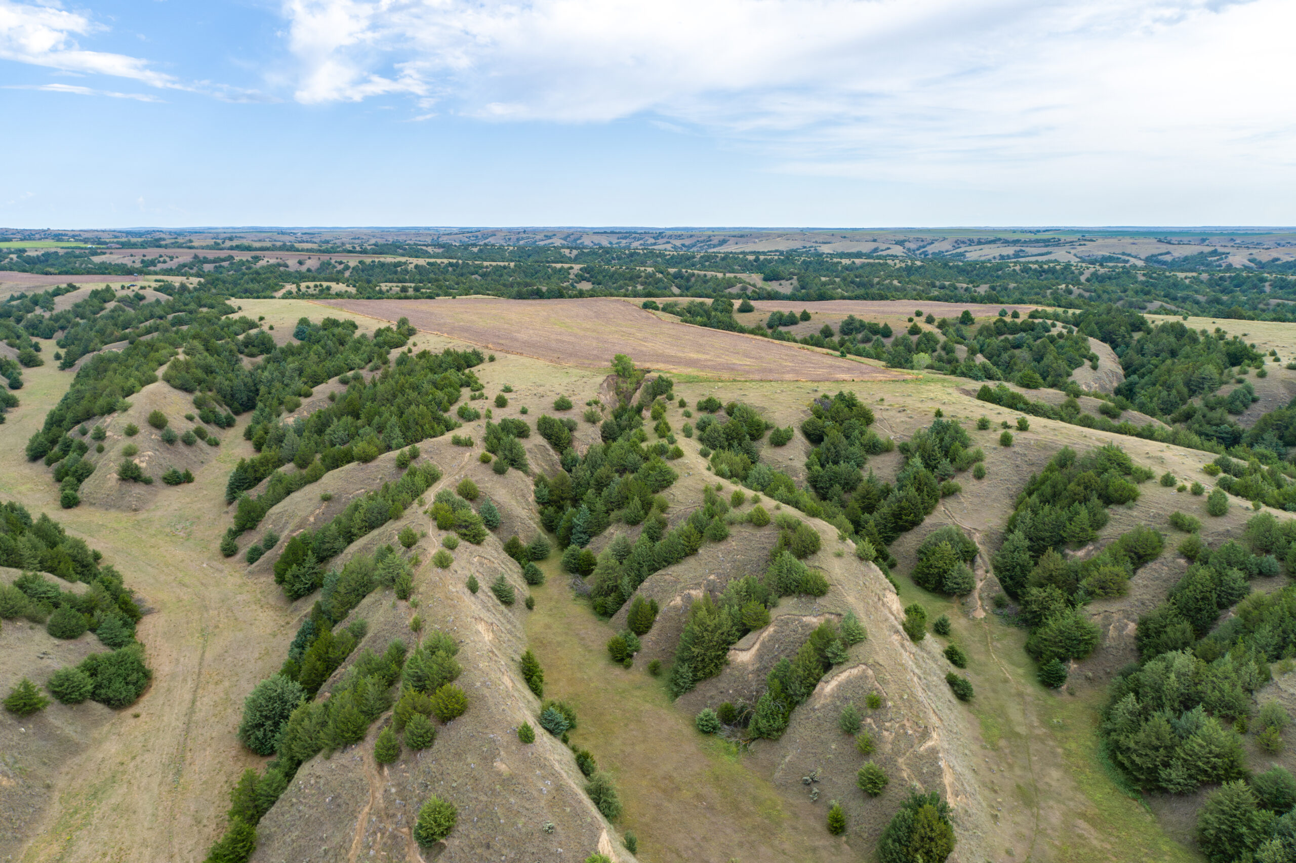
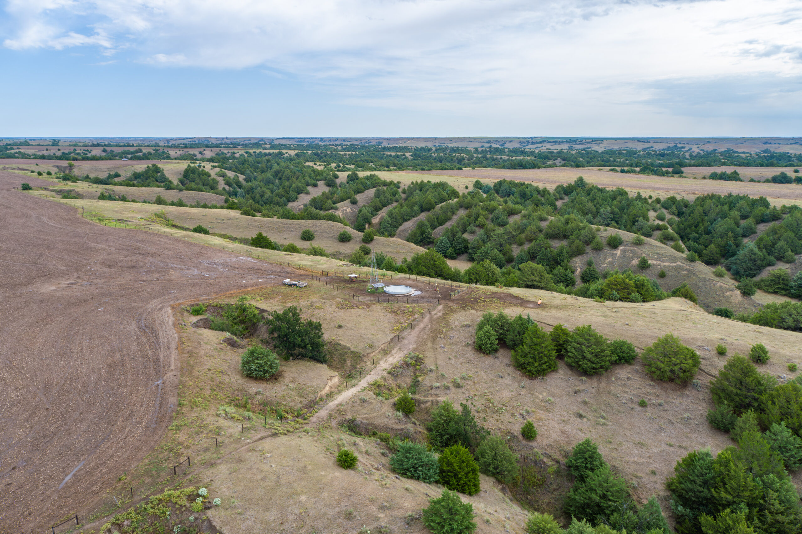
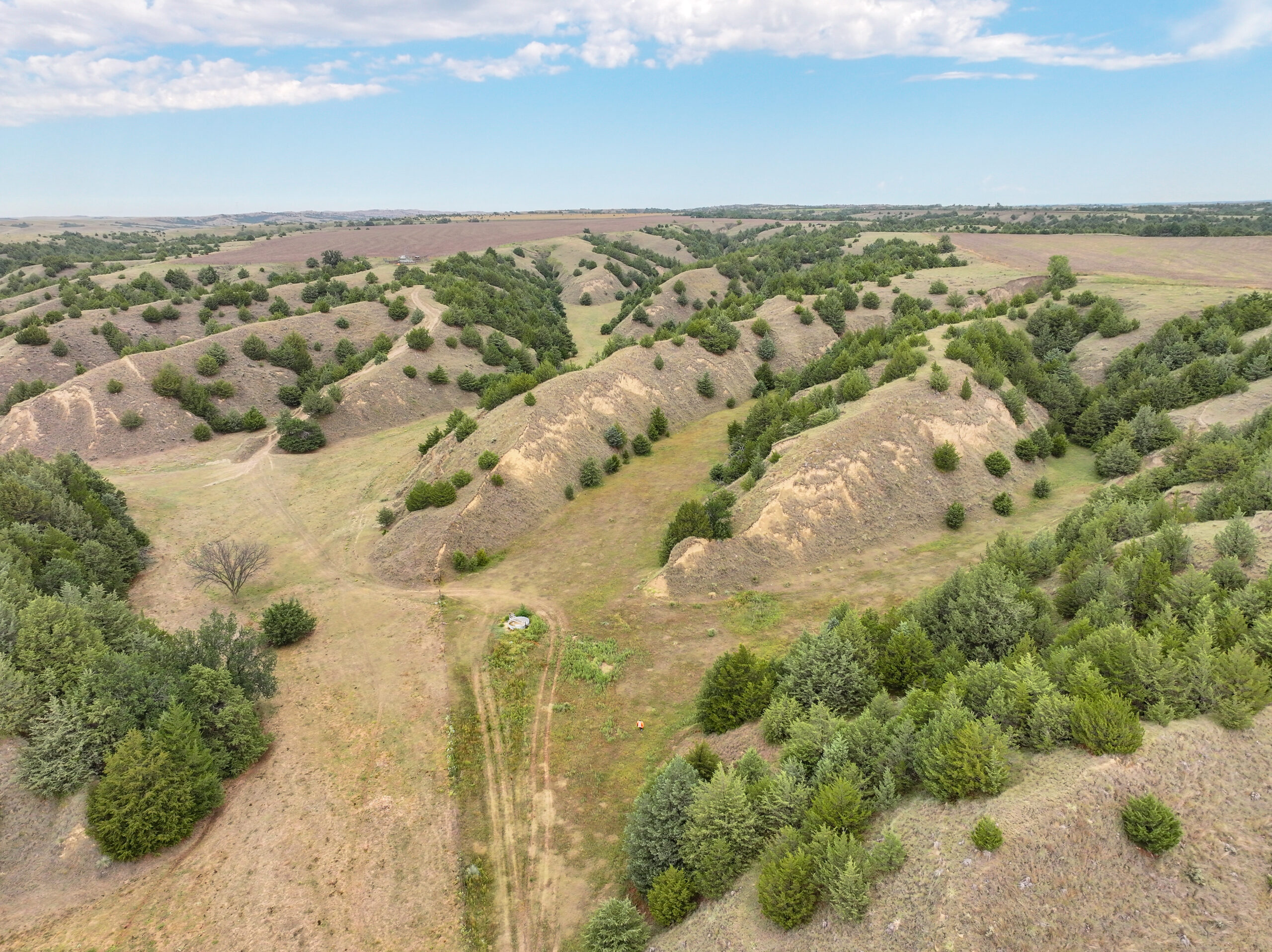
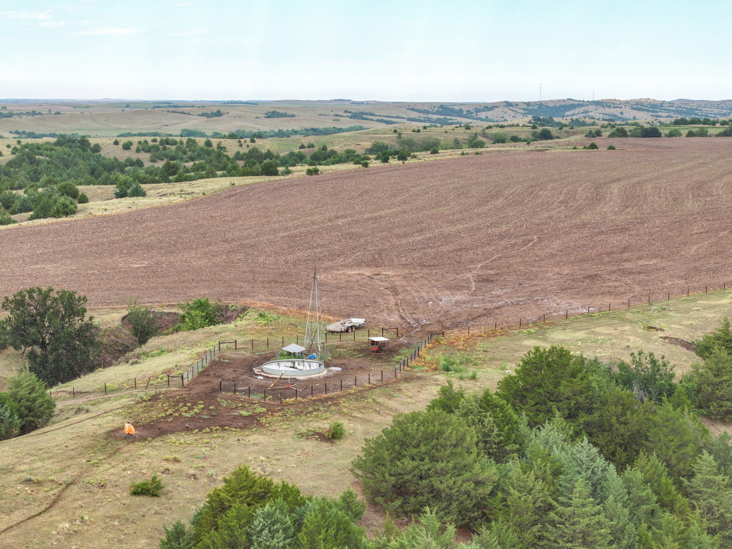
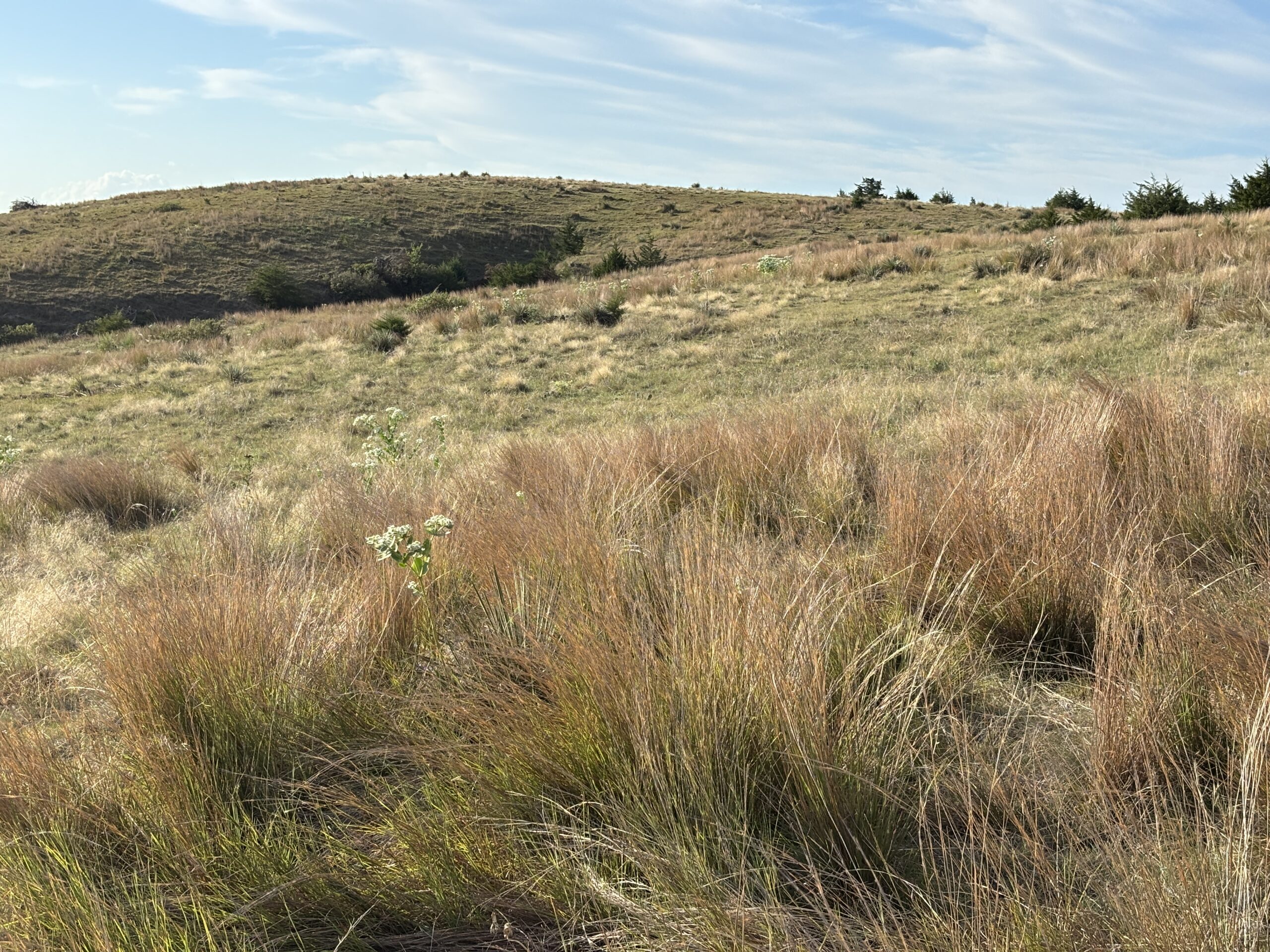
This unique canyon rangeland property combines wildlife habitat, big-game hunting opportunities, productive cropland, and grazing potential.
Located approximately 2½ miles east of Wellfleet, Nebraska, the property is accessed by Burma Road. Its south boundary lies just ½ mile northeast of the Nebraska Game and Parks Cedar Valley Wildlife Management Area.
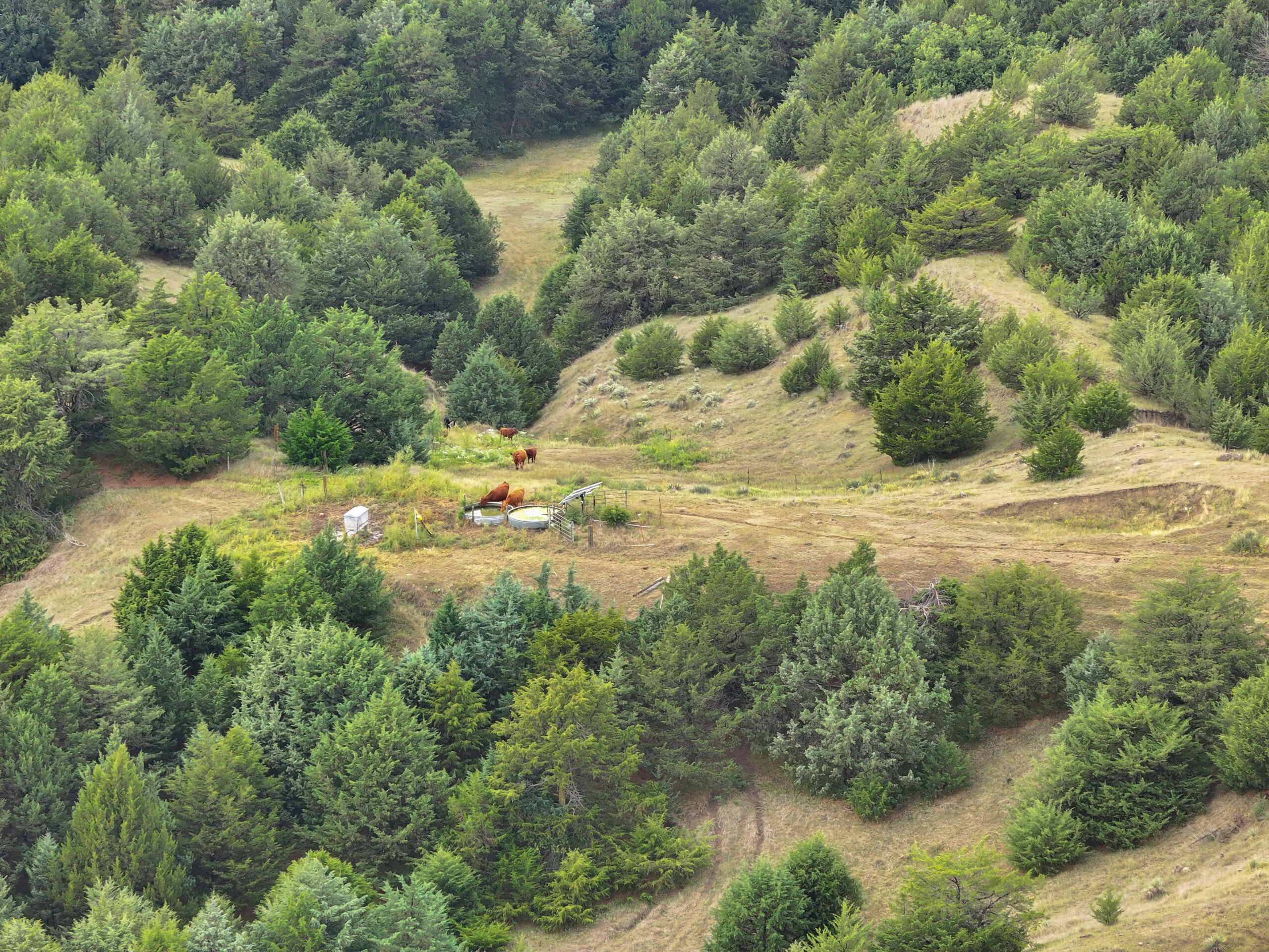
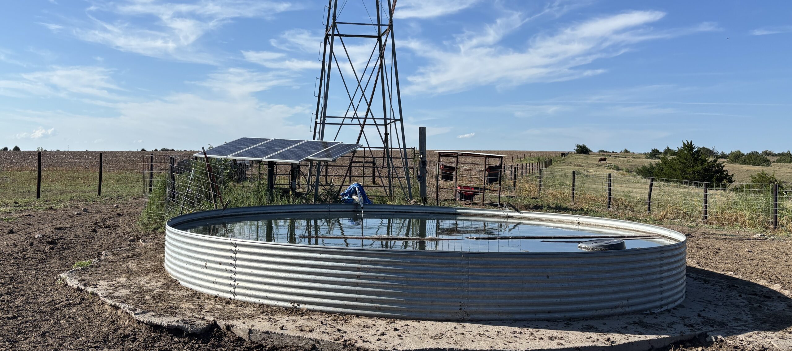
The property includes approximately 566 acres of rangeland. Livestock water is provided by two solar wells, a pipeline tank, and a pond. Wildlife also has access to water from Medicine Creek, located less than one mile to the south.
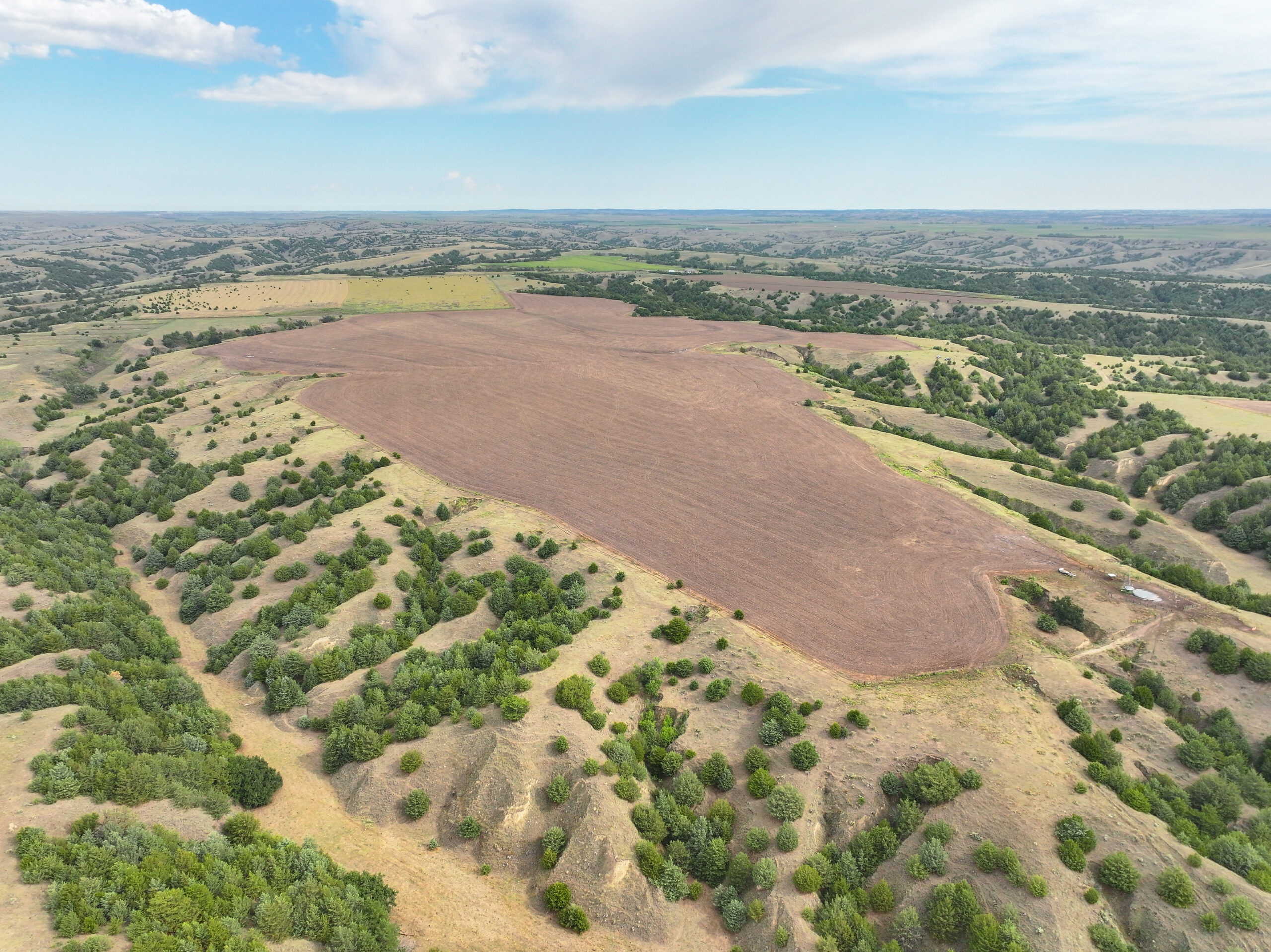
In addition, the property features approximately 94 acres of productive, rain-fed cropland, consisting primarily of Hodrege silt loam soils. The cropland is rotated between wheat, corn, and fallow.
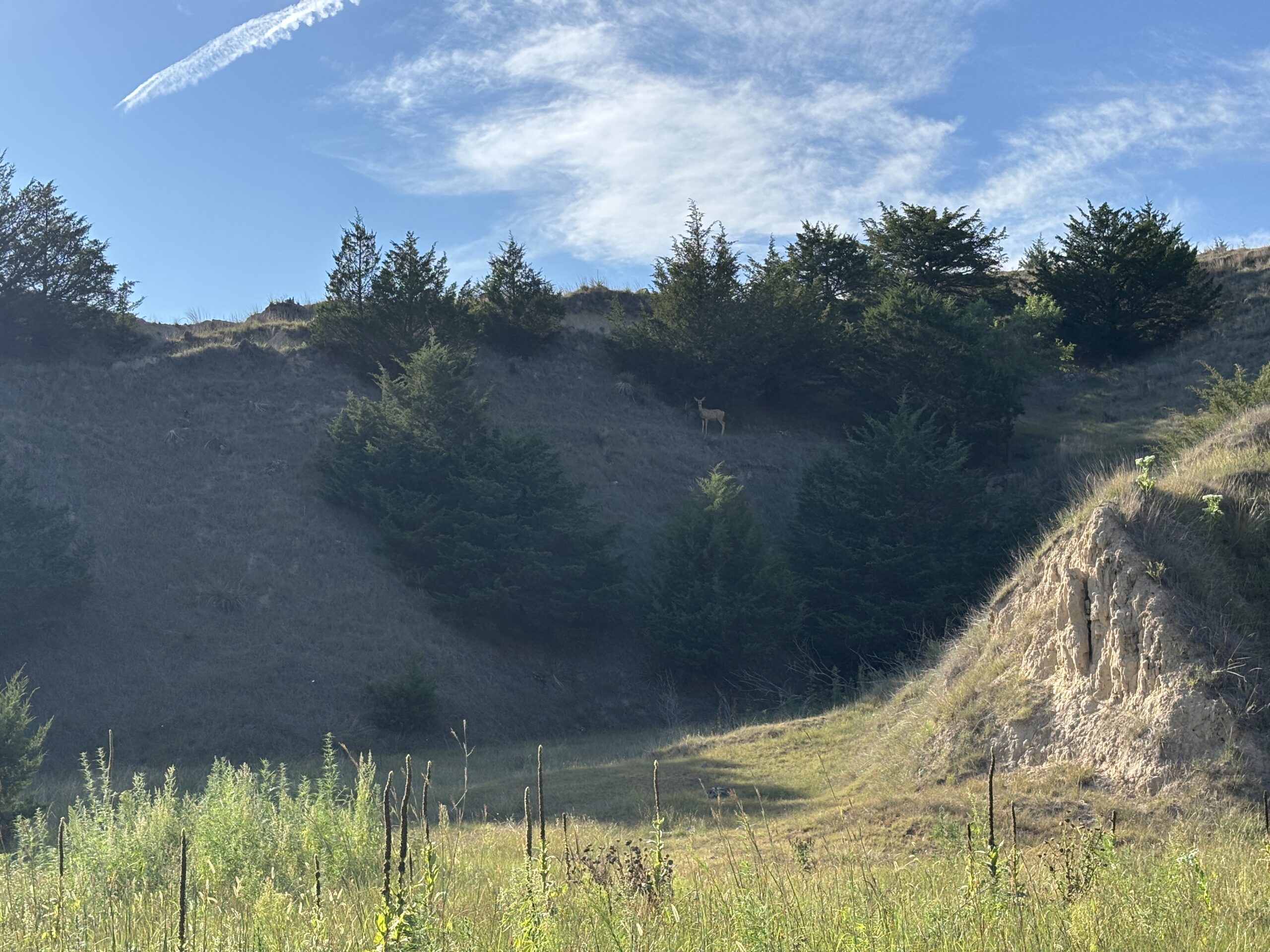
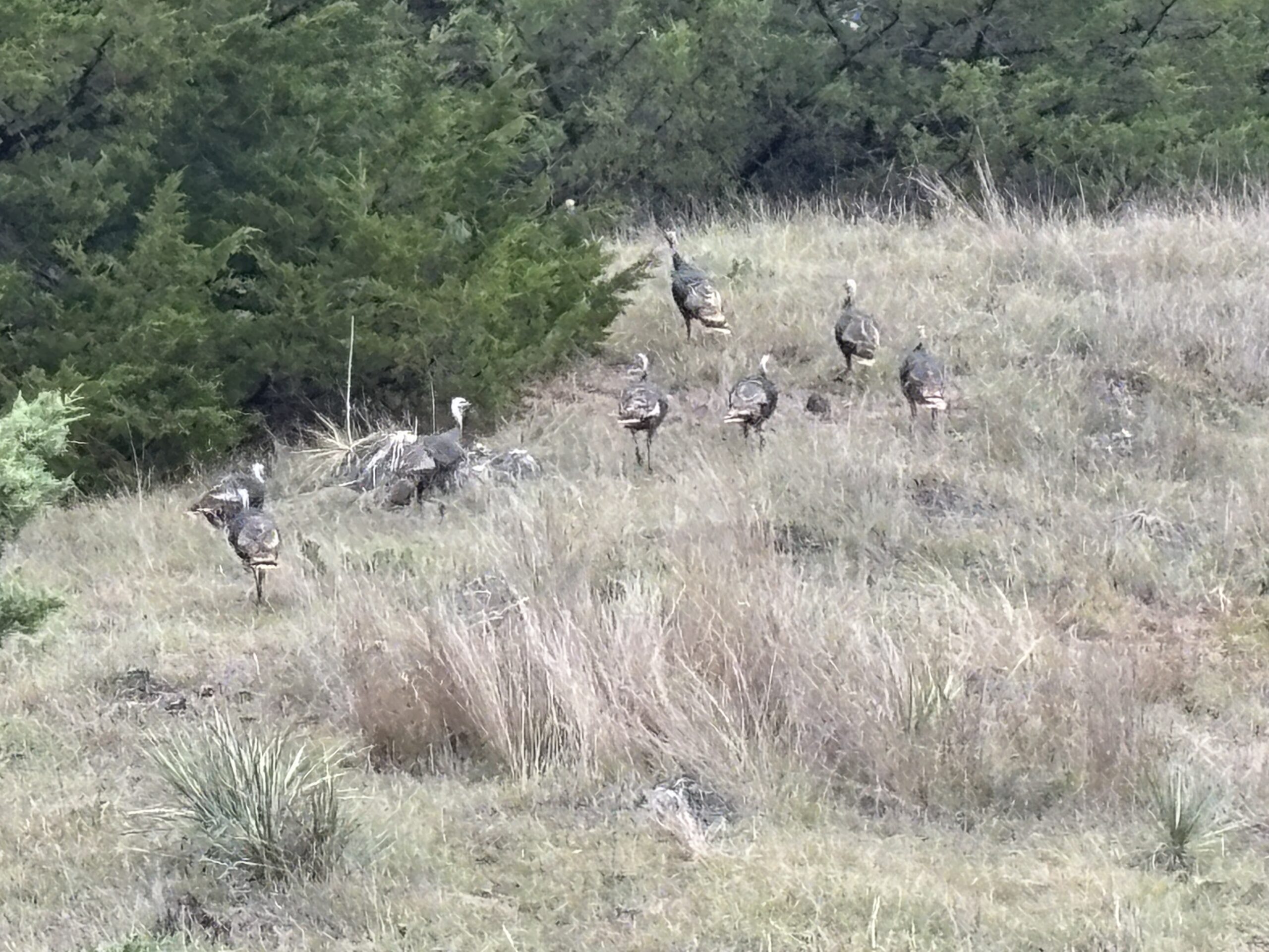
Situated within Nebraska Game and Parks Elk Management Unit #5, the property offers excellent habitat for elk, mule deer, whitetail deer, and turkey, making it an appealing opportunity for both agricultural and recreational buyers.
Location:
Approximately 2½ miles east of Wellfleet, NE
Legal Description:
A tract to be surveyed and generally described as follows:
Township 9 North, Range 29 West 6th P.M., Lincoln County, Nebraska:
Section 7: PART OF THE SW¼ SW¼; PART OF THE SE¼ SW¼
Section 18: NW¼; N½ SW¼; PART OF THE SW¼ SW¼; PART OF THE SE¼ SW¼
Township 9 North, Range 30 West 6th P.M., Lincoln County, Nebraska:
Section 12: PART OF THE NW¼ SE¼; SE¼ SW¼; PART OF THE SW¼ SE¼; PART OF THE SE¼ SE¼
Section 13: PART OF THE NW¼ NW¼; NE¼ NW¼; NE¼; PART OF THE SW¼ NW¼; PART OF THE SE¼ NW¼; PART OF THE NE¼ SW¼; PART OF THE NW¼ SE¼; NE¼ SE¼; PART OF THE SE¼ SE¼
ACRES & TAXES:
650 ± estimated acres, to be surveyed2025 estimated taxes to be paid in 2026: $6,500
The tract to be surveyed and excluded is estimated at 660 acres.
LAND USE:
The total acres are estimated at 650 acres (subject to the completion of a survey) with 94 acres of productive rain fed fields consisting primarily of Holdrege silt loam soils. This cropland is utilized in a crop rotation consisting of wheat-corn-fallow. The balance of the acreage is estimated at 556 acres of rangeland and primarily Coly-Hobbs silt loam soils.NRD:
Middle Republican Natural Resources DistrictWATER SOURCES:
2 solar wellspipeline tank
pond
Property Maps
Click thumbnail to open a full size image.