Description:
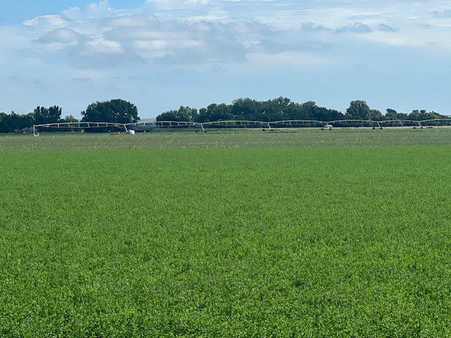
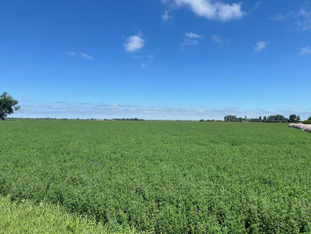
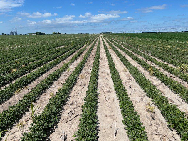
Dawson County Assessor indicates a total of 76.33 tax-assessed acres. Farm consists of good-quality, gravity-irrigated cropland which is presently receiving water from a tenant-owned pivot irrigation system.
Location:
Parcel #1 is located approximately 2.5 miles north of Lexington on State Highway 21.
Legal Description:
S1/2 SE1/4 Section 18, T10N-R21W of the 6th P.M., Dawson County, Nebraska, except 2.86 acres conveyed to the State of Nebraska and a 2.83-acre tract.
2023 Real Estate Taxes
$4,420.24Farm Service Agency Information
Total Cropland 74.06 acres;Government Base Acres: Corn 44.8 acres w/ PLC Yield of 183 bu/acre; Soybeans 13.4 acres w/ PLC Yield of 52 bu/acre
All cropland is considered non-highly erodible by the NRCS.
Irrigation Information
Well Registration : G-099639Completion Date : 3/5/2020 @ 1,200 gpm
Well Depth : 250'
Static Water : 8'
Pumping Level : 31'
Column : 8"
Pump - Western Land Roller, Good condition
Power Unit - 40hp, General Electric motor, Good condition
Panel- Eaton, Good condition
The well is located along the north border and provides water to a tenant-owned, reversing pivot irrigation system.
Parcel #1 has 74.00 acres of surface water rights from the Nebraska Public Power District. Parcel #1 is located in the Central Platte Natural Resources District and has a total of 74.06 certified irrigated acres.
Soils
Soils consist of Class I Cozad silt loam with 0-1% slope.Comments
Farm sells subject to a 2024 cash farm lease which terminates on February 28, 2025.Property Maps
Click thumbnail to open a full size image.