
Description:
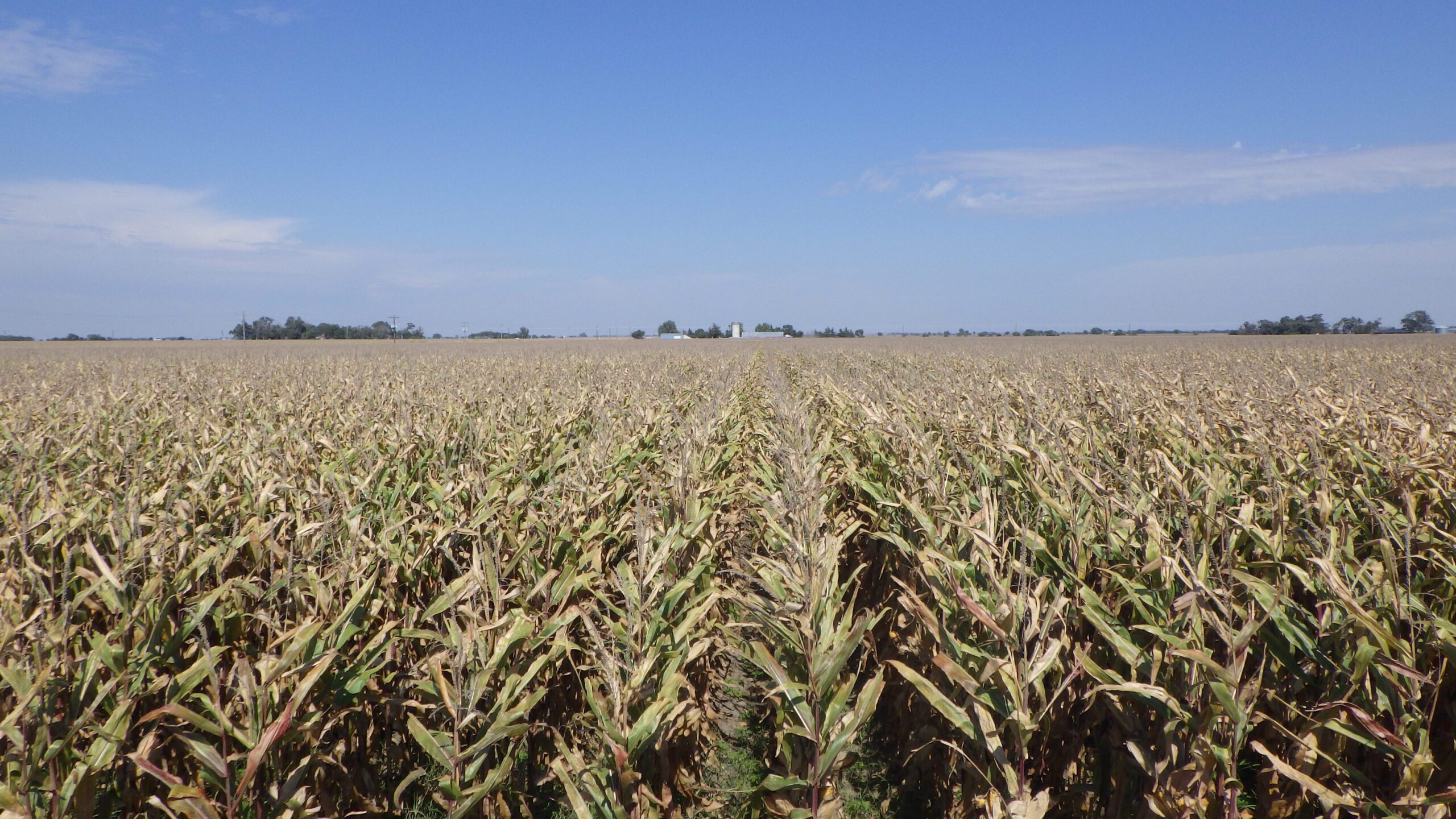
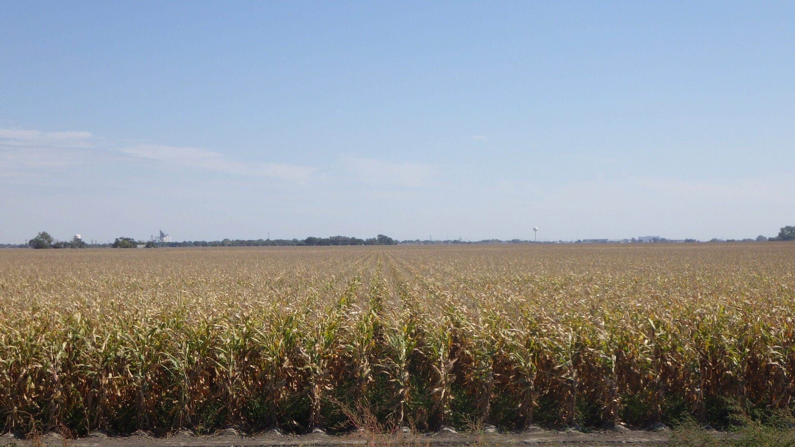
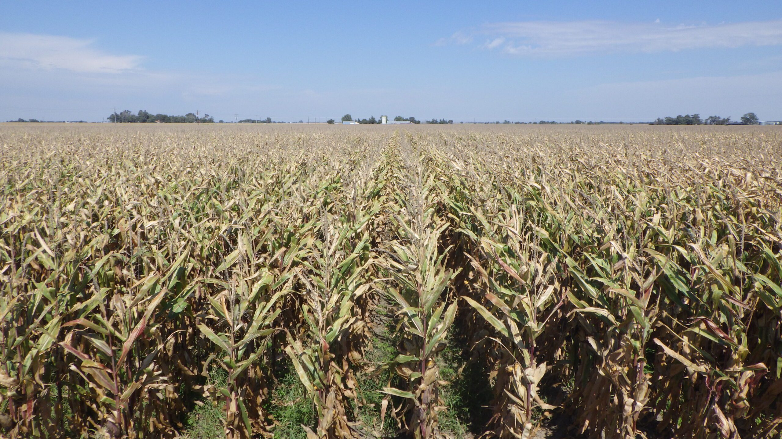
Dawson County Assessor indicates a total of 76.04 tax-assessed acres. Davis Farm consists of gravity-irrigated cropland with an improvement site that contains a storage building.
Location:
Located approximately two miles southwest of Lexington, Nebraska, with Road 755 bordering the north and Road 431 bordering the west.
Legal Description:
W1/2 NW1/4 Section 12, T9N-R22W of the 6th P.M., Dawson County, Nebraska, except a tract conveyed by Instrument Recorded Book 146, Page 710 of Records of Dawson County, Nebraska.
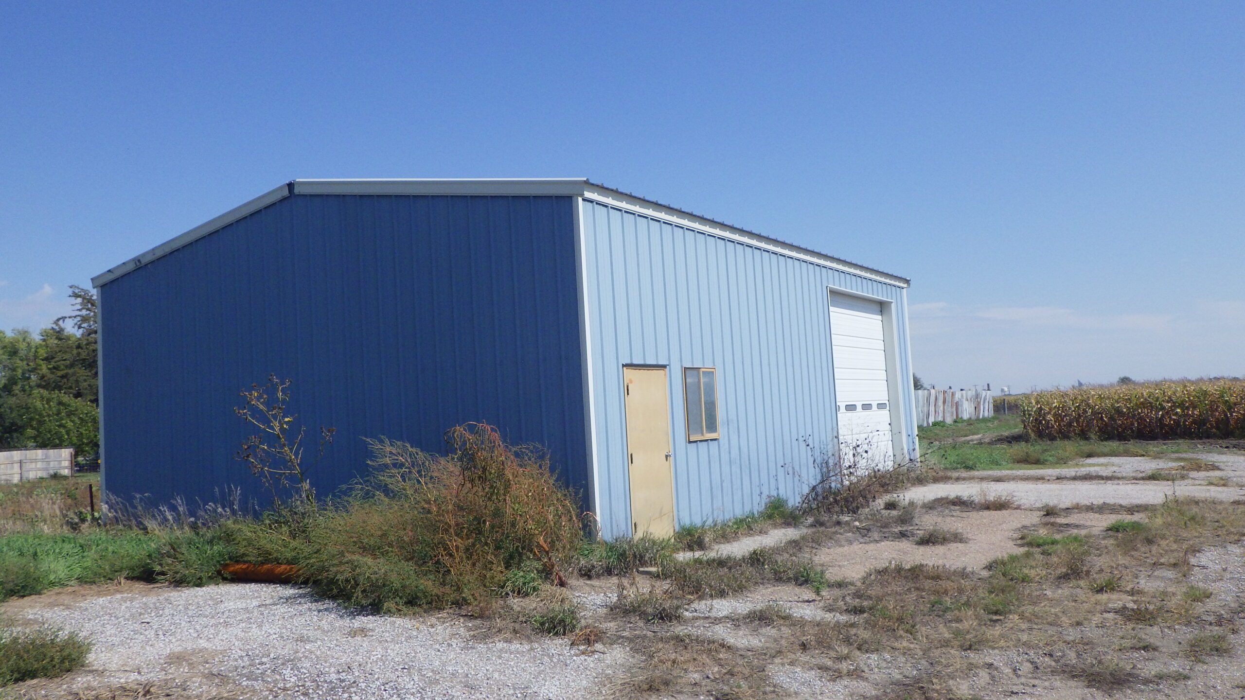
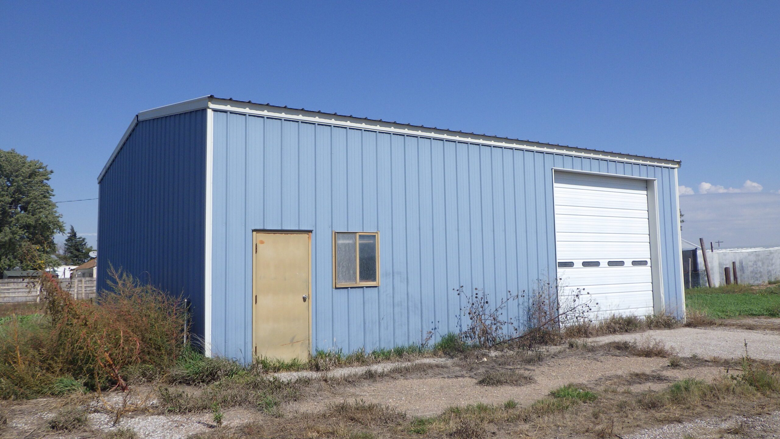
BUILDING IMPROVEMENTS:
1,200 sq. ft. pole frame storage building with metal-covered roof and sides. Flooring is concrete.REAL ESTATE TAXES:
2024: $3,283.34LEASE/POSSESSION:
Full possession for the 2026 crop year.SOILS SUMMARY:
Soils consist primarily of Class I Gosper loam and Cozad silt loam with slopes of 0-1%, along with minor amounts of Class III Silver Creek silt loam and Gosper loam, saline-alkali, with slopes of 0-1%.FARM SERVICE AGENCY INFORMATION:
Total cropland: 71.33 acresGovernment Base Acres: Corn 59.90 acres with PLC Yield of 166 bushels per acre
All cropland is considered non-highly erodible by the Natural Resource Conservation Service.
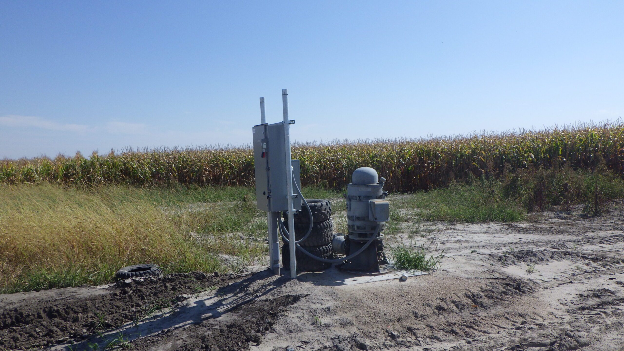
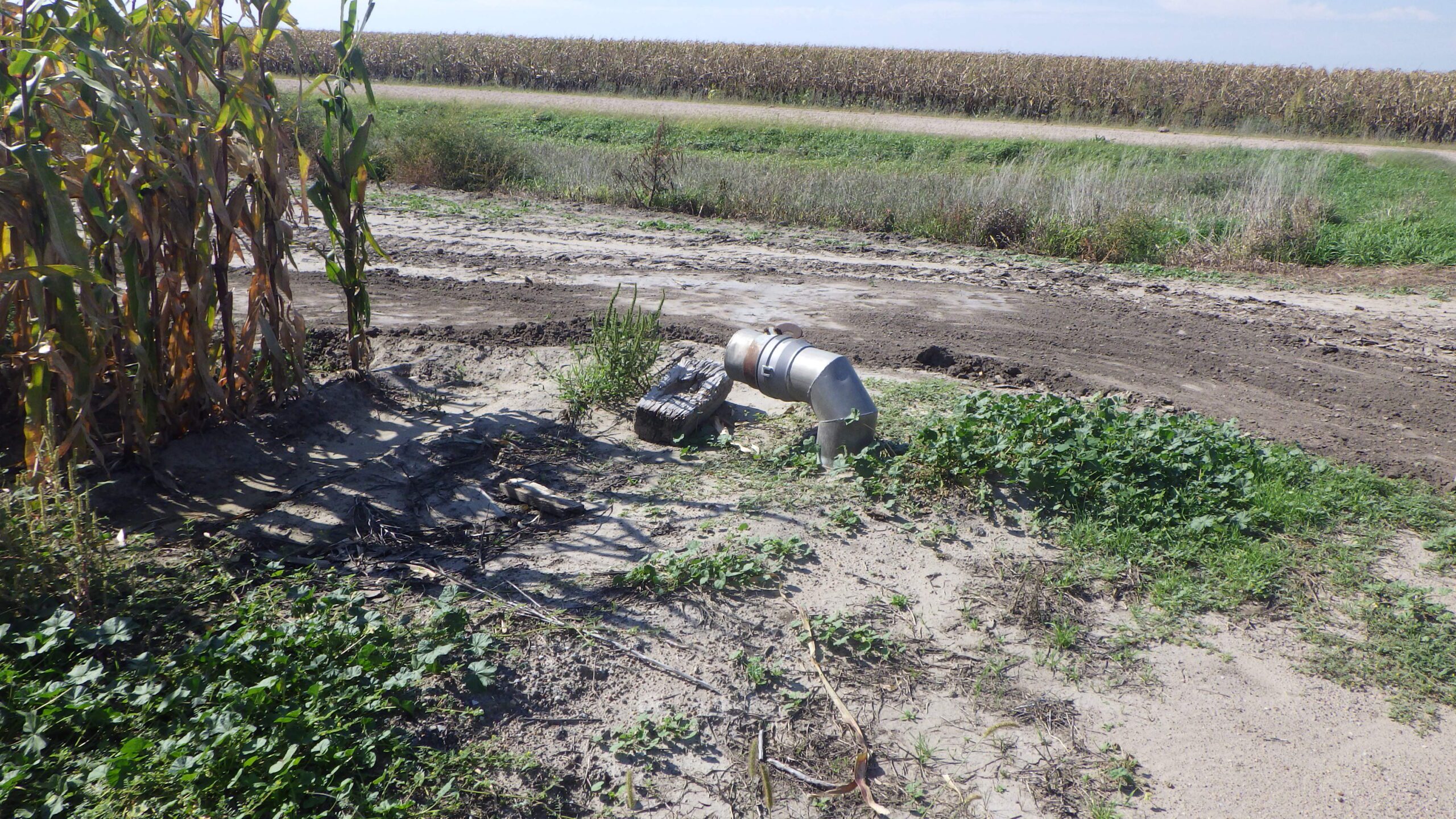
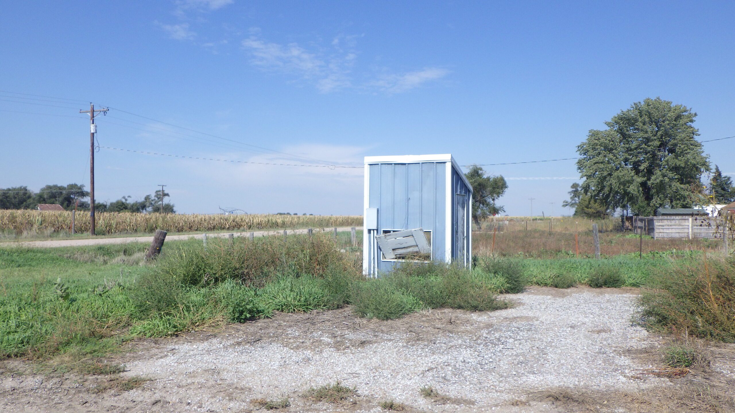
IRRIGATION INFORMATION:
Water for irrigation is provided by an electric well.Well Registration: G-010746
Completion Date: 06/13/2025 @ 600 gpm
Well Depth: 180’
Static Water: 9’
Pumping Level:85’
Column: 8’
Pump – Western Land Roller
Power Unit – General Electric, 40hp electric motor
Control Panel - Eaton
Davis Farm is located in the Central Platte Natural Resources District and contains a total of 69.48 certified irrigated acres.
Property Maps
Click thumbnail to open a full size image.
