Description:
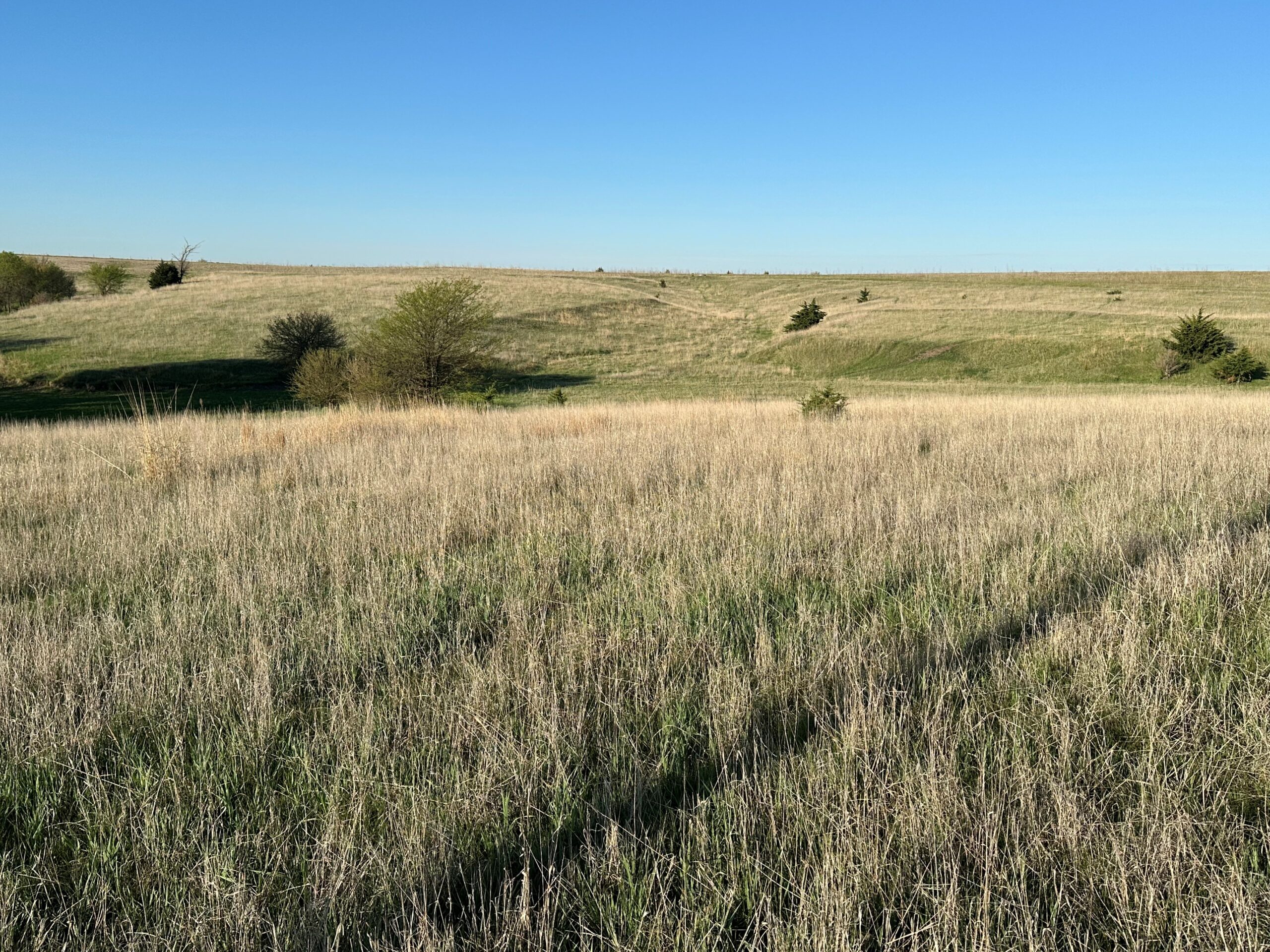
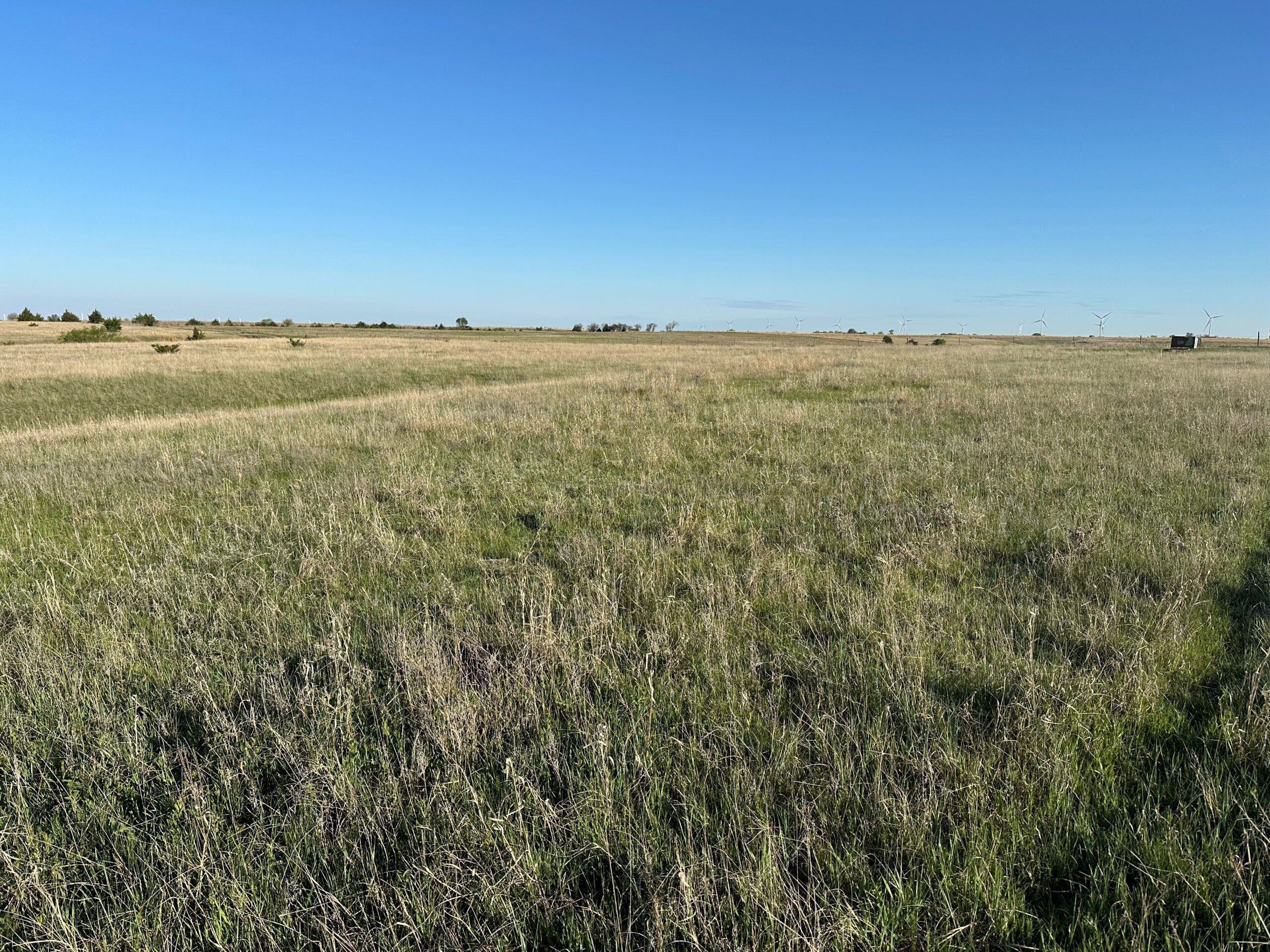
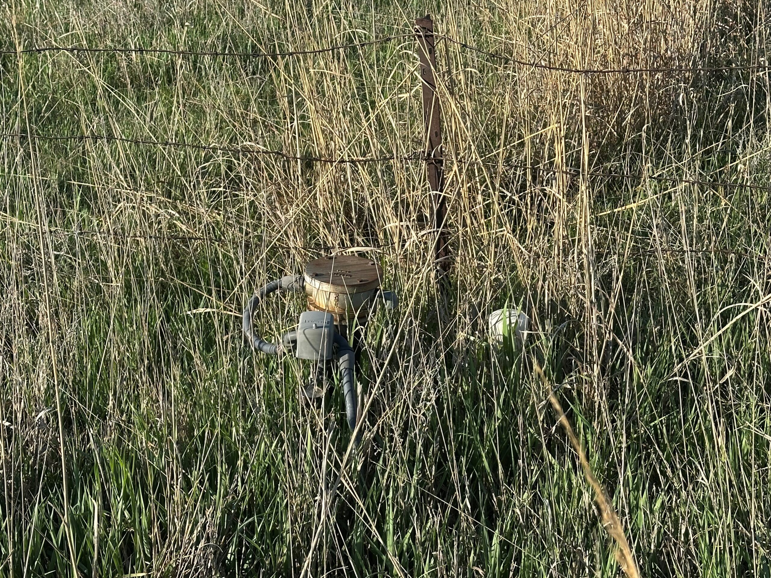
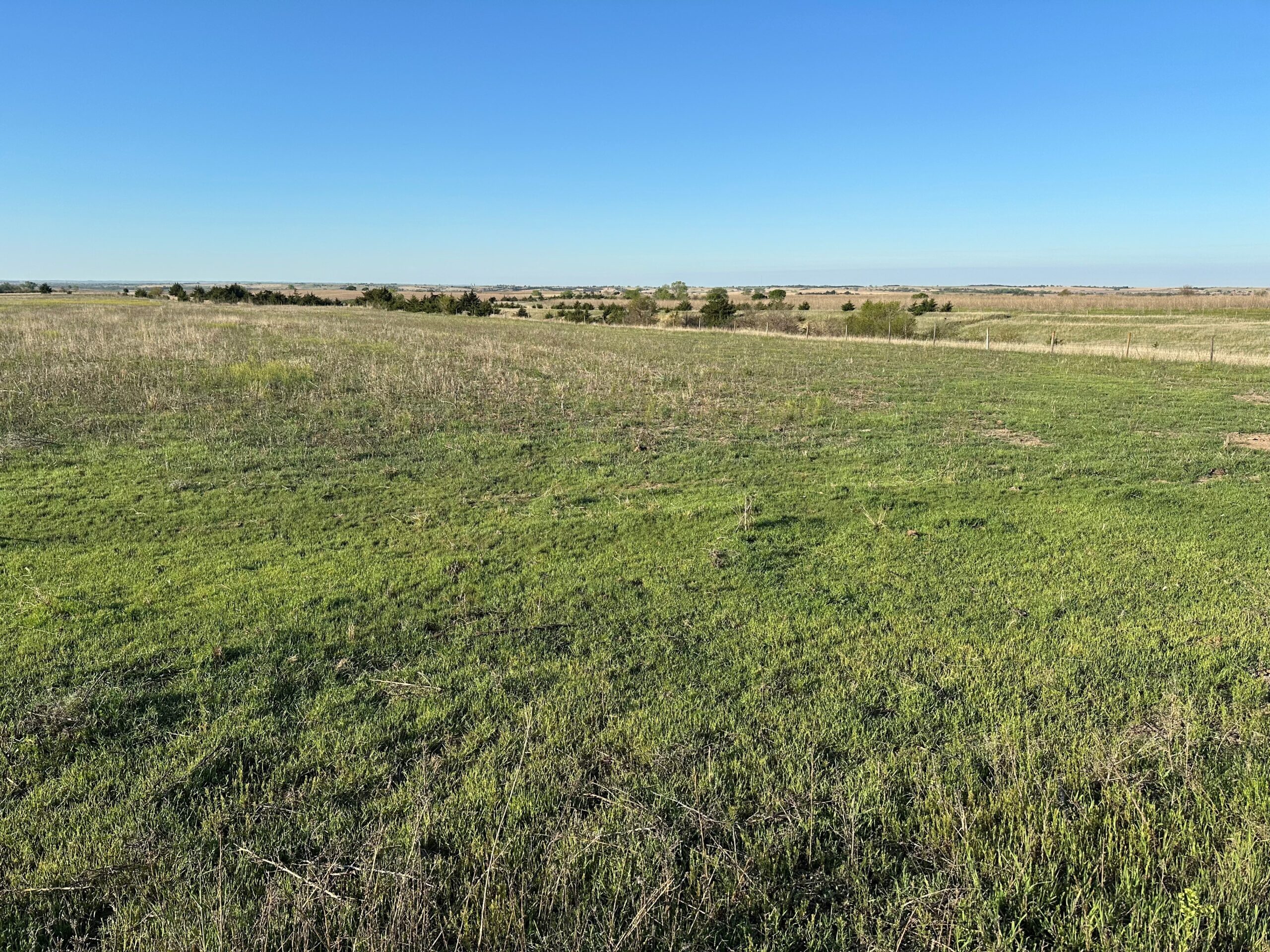
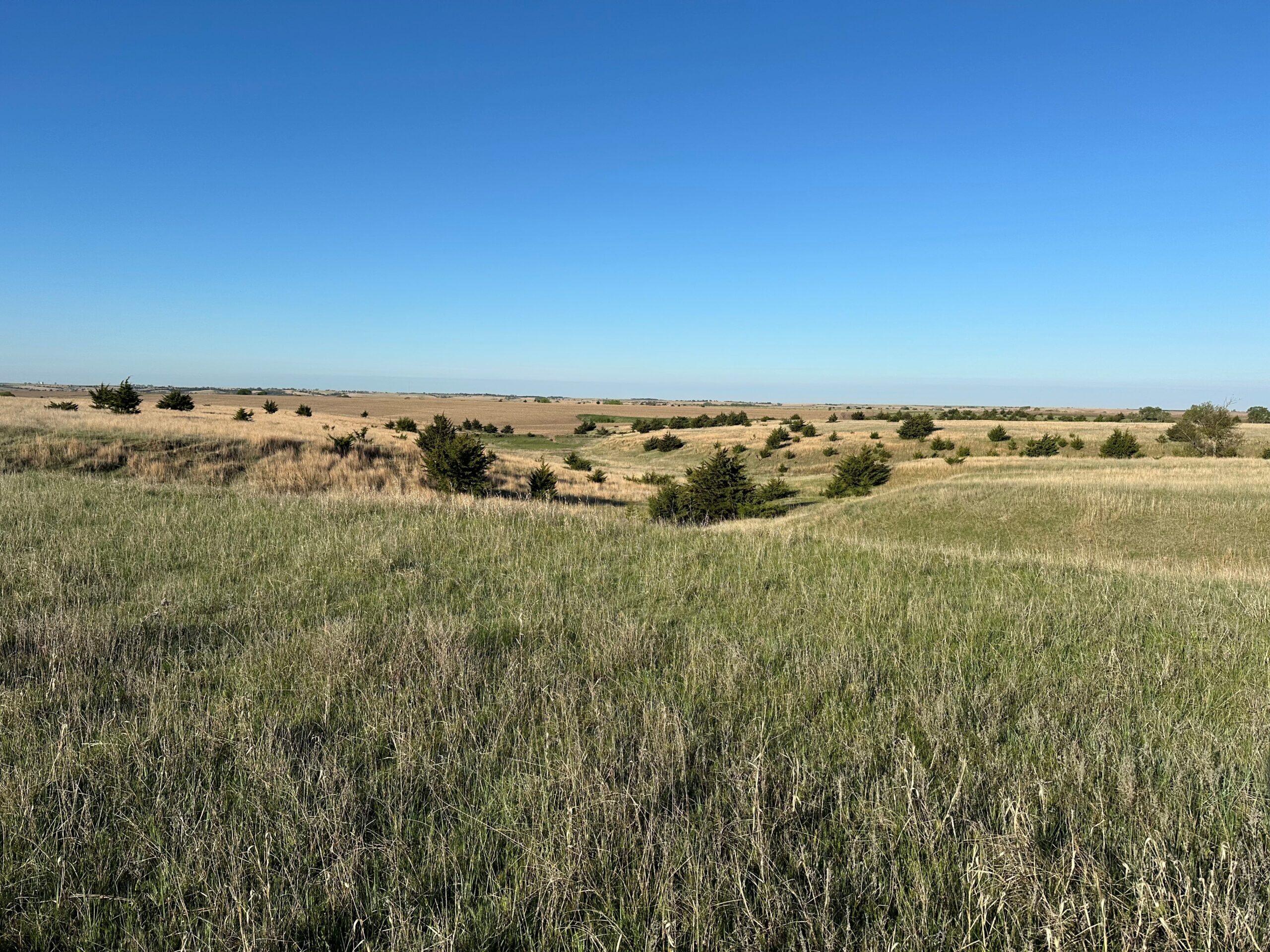
A great combination of hard grass with decent fence, along with productive, non-irrigated cropland. Electricity, stock well, and underground pipe with hydrants provide nice water sources for livestock.
Location:
From Blue Hill, Nebraska: 3 miles south on Highway 281, then 1 mile west on Highway 281 & Highway 4, then 3 miles south on Road 1500 to the northeastern corner of the property.
Legal Description:
The Northeast Quarter (NE1/4) of Section Eight (8), Township Three (3) North, Range Ten (10) West of the 6th P.M., Webster County, Nebraska.
Acres & Taxes:
Tax-assessed Acres | 158.24 ± acres2024 Real Estate Taxes | $2,645.92
Leases:
Full possession at closing!Soils:
Primary soils on the property consist of Holdrege silt loam and Geary and Hobbs soils, with slopes ranging from 0-11%.NRD:
Lower Republican Natural Resources District.Well Information:
Well Registration: G-127631 (stock well)♦ Completion Date - 03/31/2004
♦ Well Depth - 133 feet
♦ Static Water Level - 105 feet
♦ Pumping Level - 107 feet
♦ Column - 1.25 inches
♦ Gallons/Minute - 12 gpm
FSA Information:
Total Farmland: 153.86 acresTotal Cropland: 76.78 acres
Government Base Acres:
Wheat - 45.70
Grain Sorghum - 13.30
PLC Yields:
Wheat - 55 bu
Grain Sorghum - 67 bu
Comments:
Don't miss this chance to purchase nice, fenced pasture with great stock water and great soil types under non-irrigated cropland!Property Maps
Click thumbnail to open a full size image.