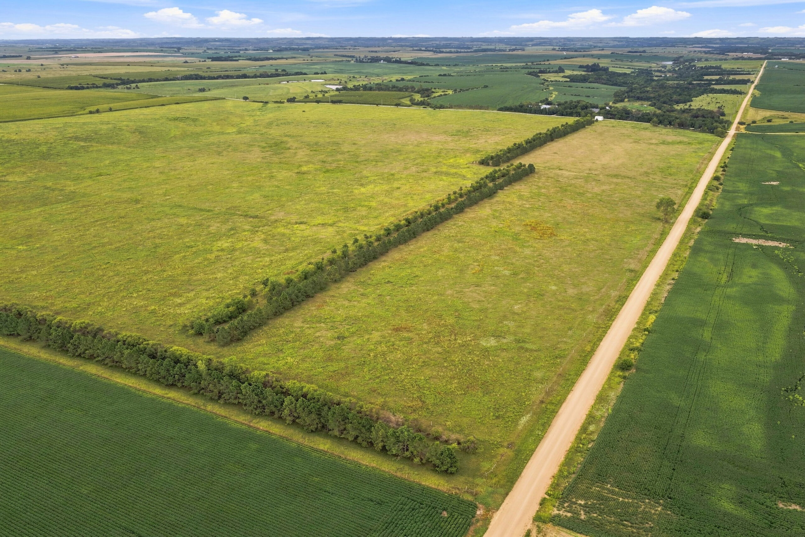
Description:
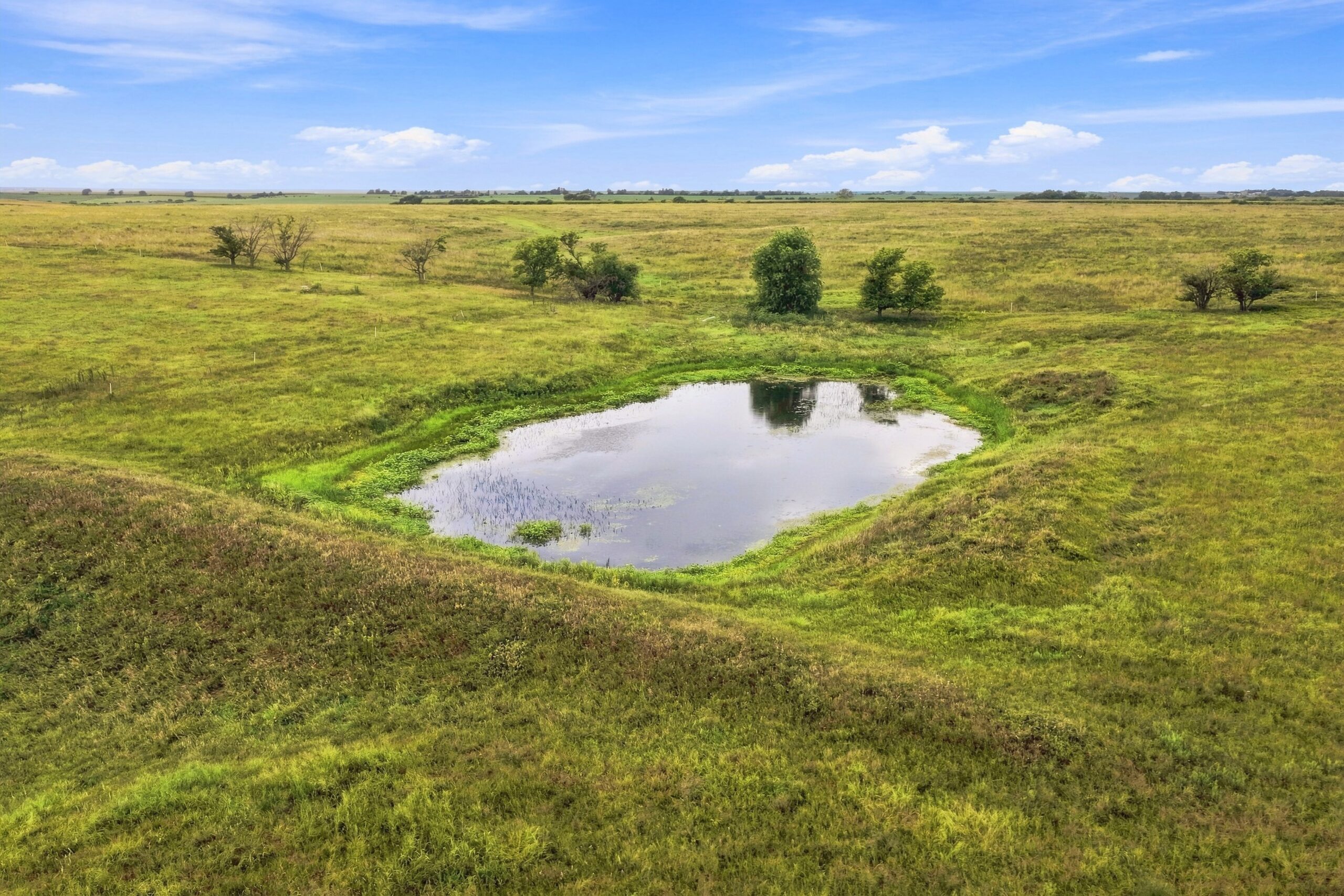
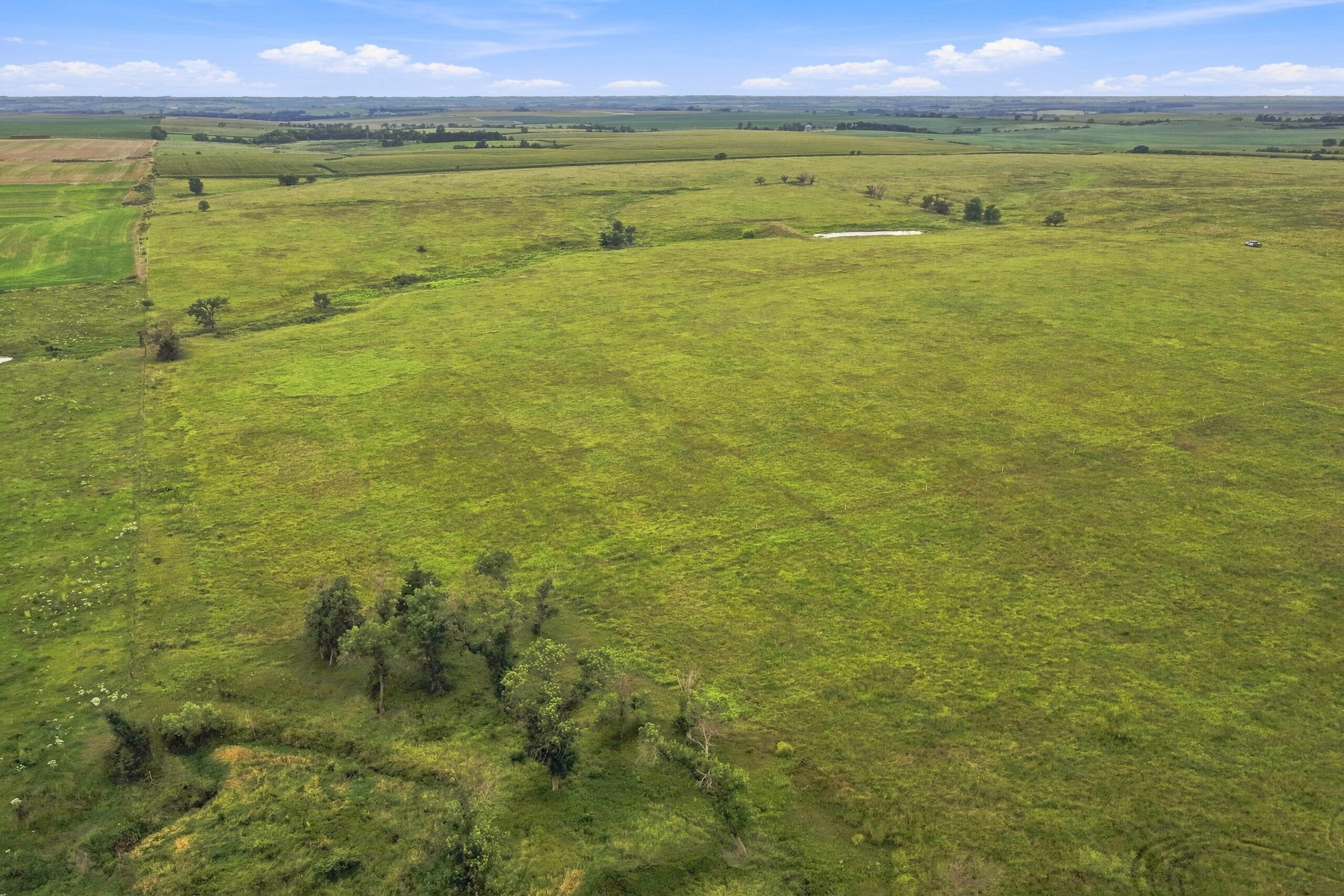
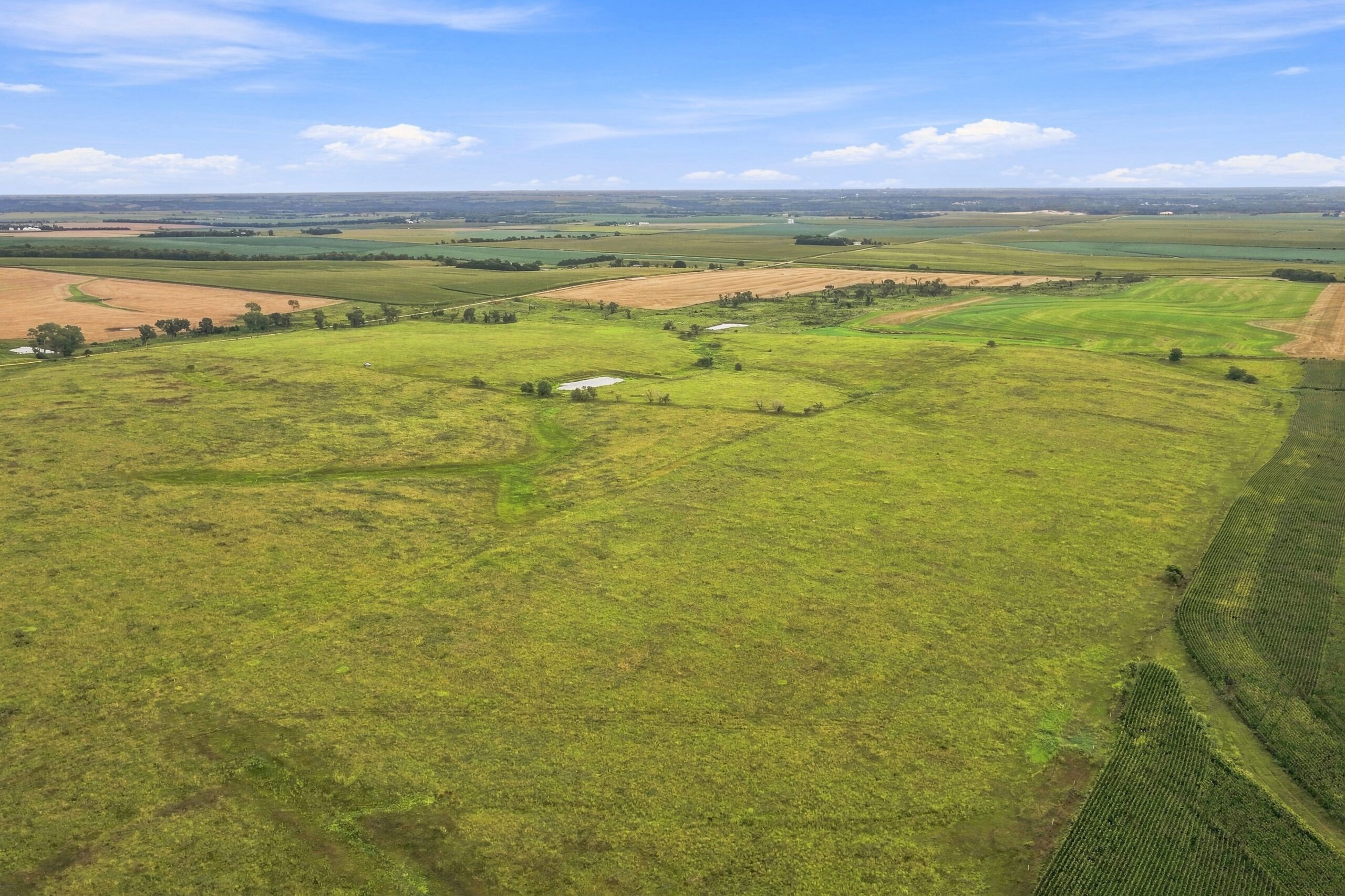
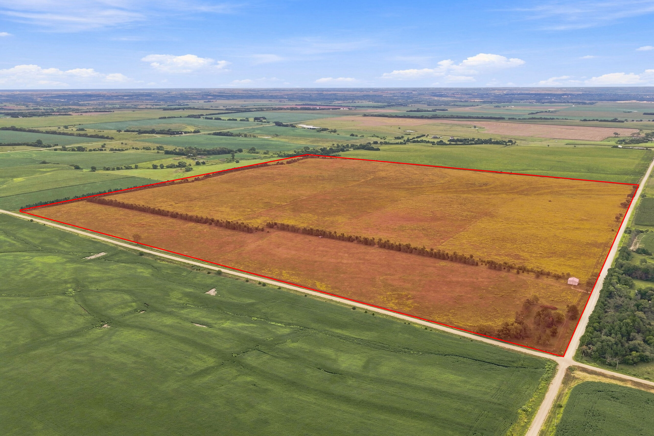
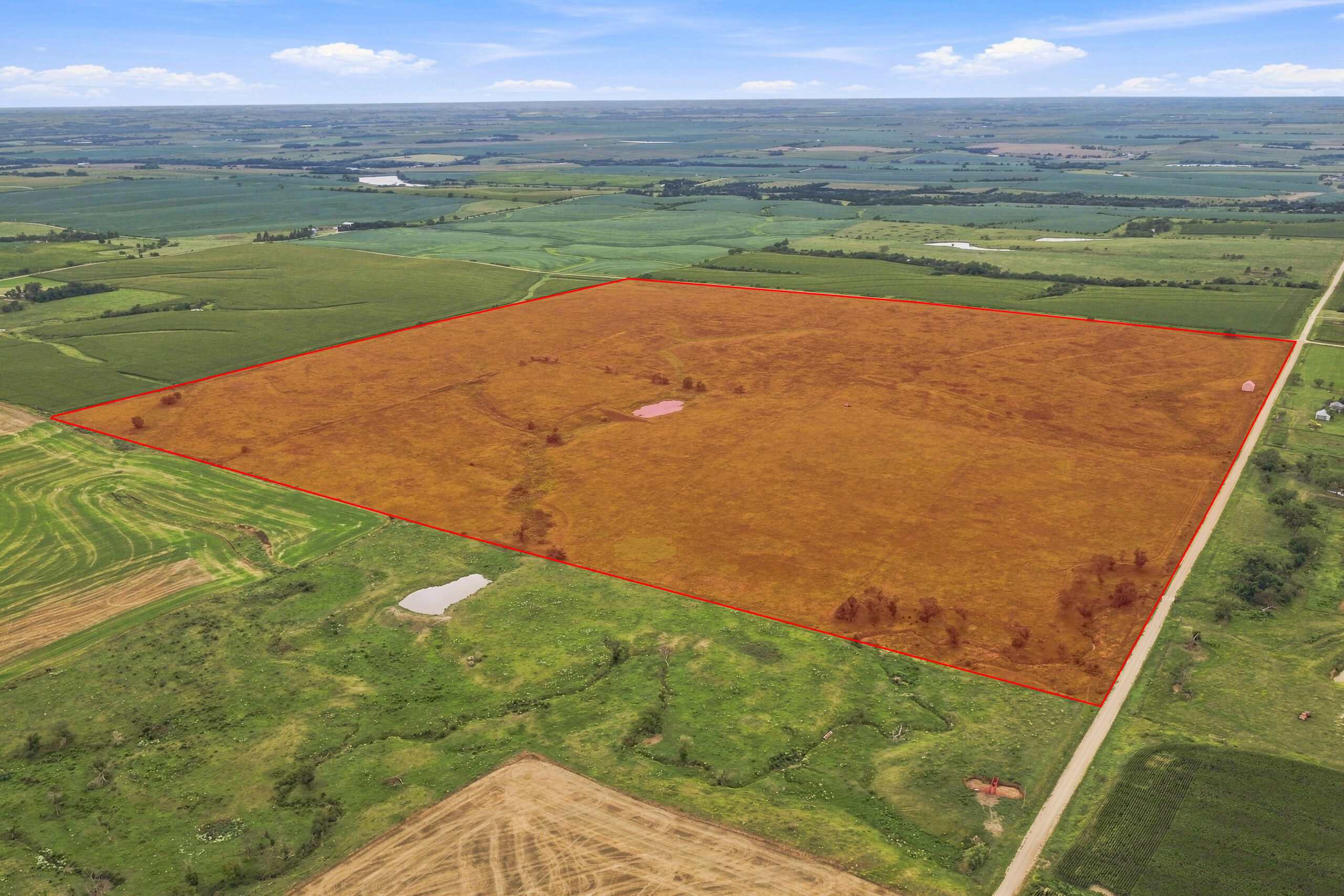
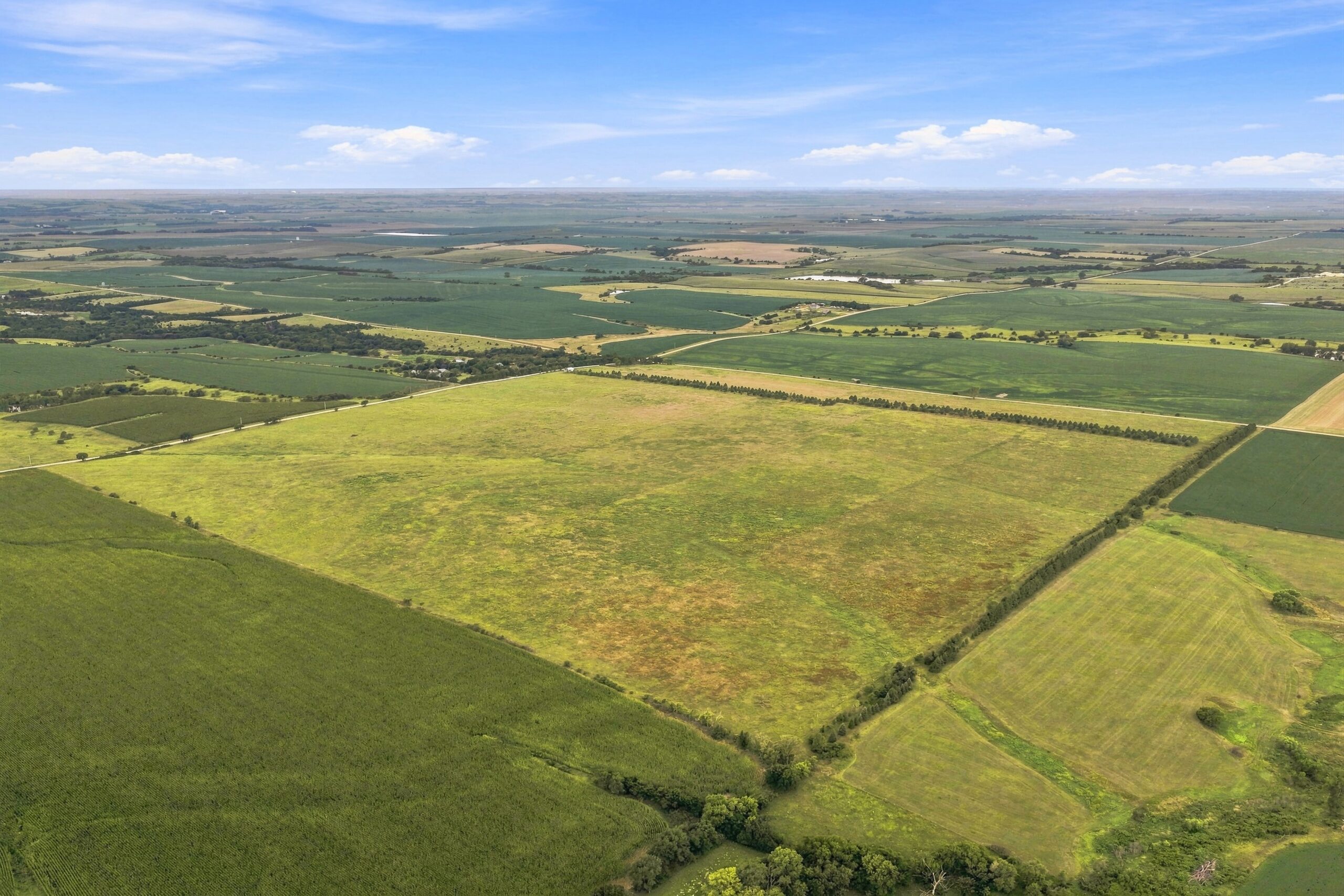
This property reflects more than 15 years of dedicated regenerative agriculture and holistic land management. Through holistic planned grazing, cover crops, rotational grazing, and extended recovery
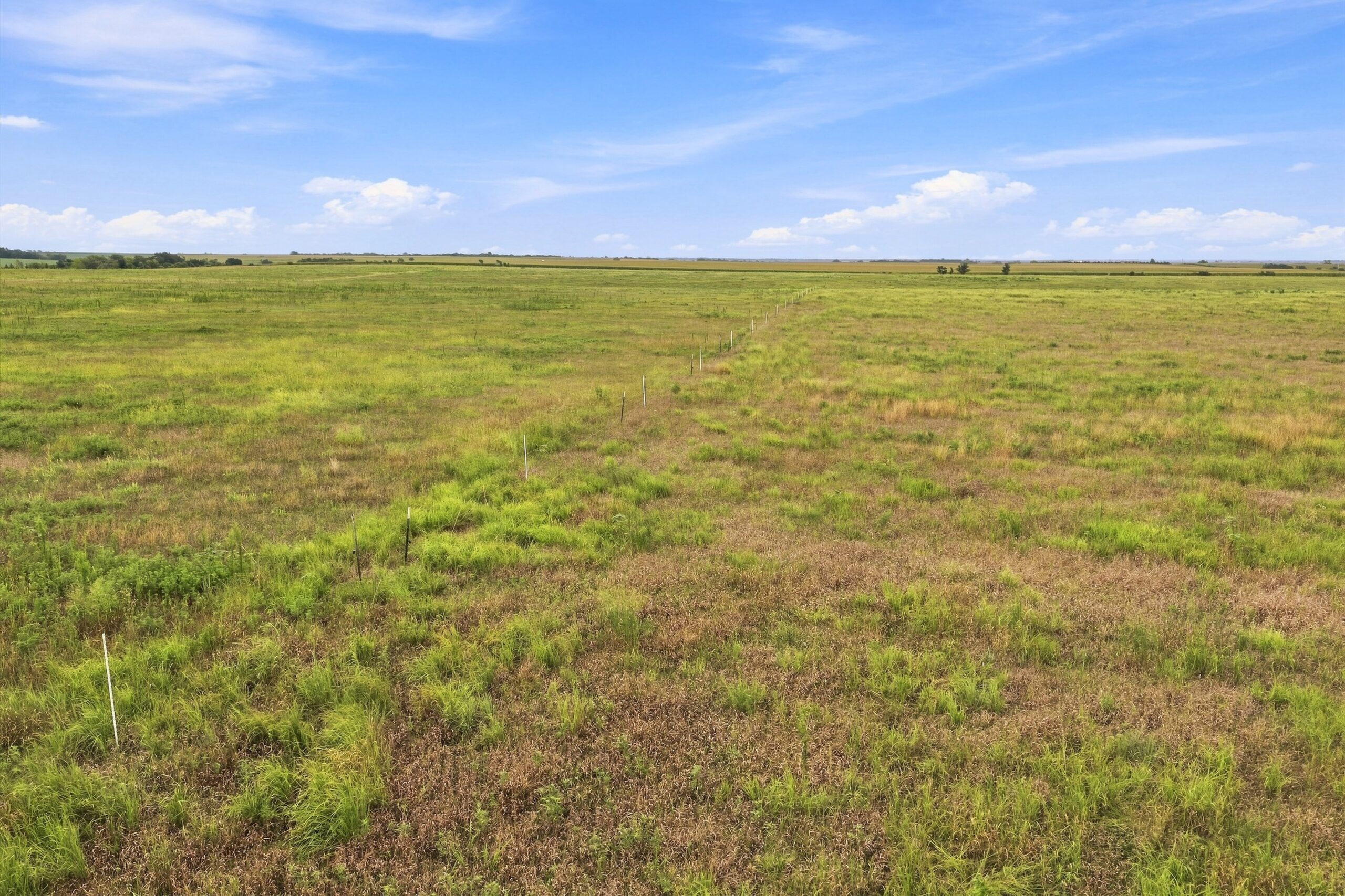
periods, the land’s carrying capacity has increased by approximately 33%, while soil organic matter and Haney soil health scores have shown significant improvement. The property features native prairie,
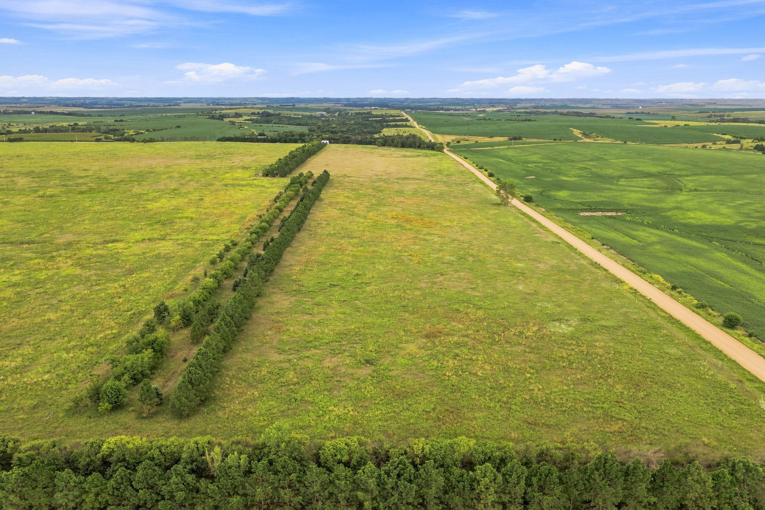
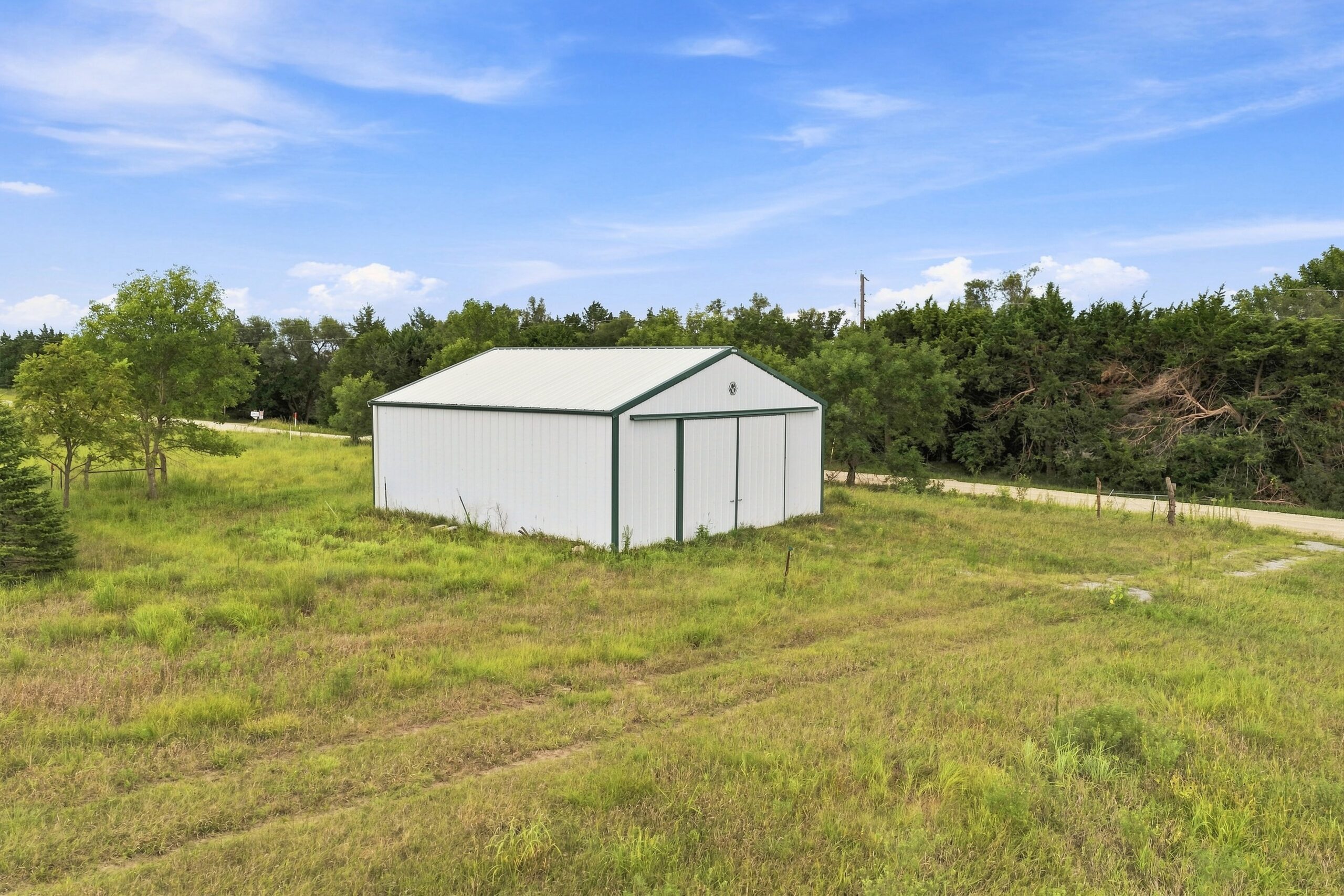
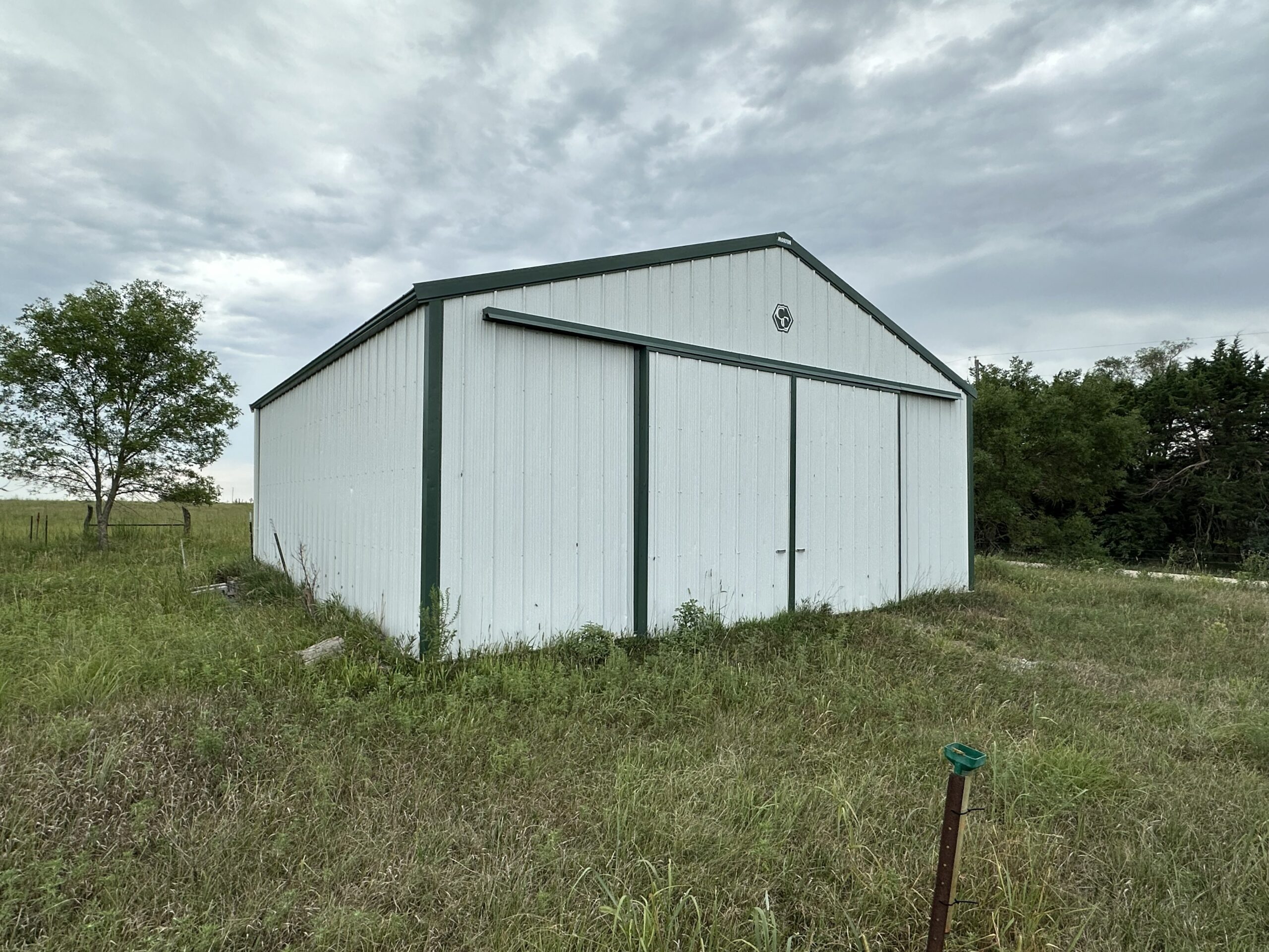
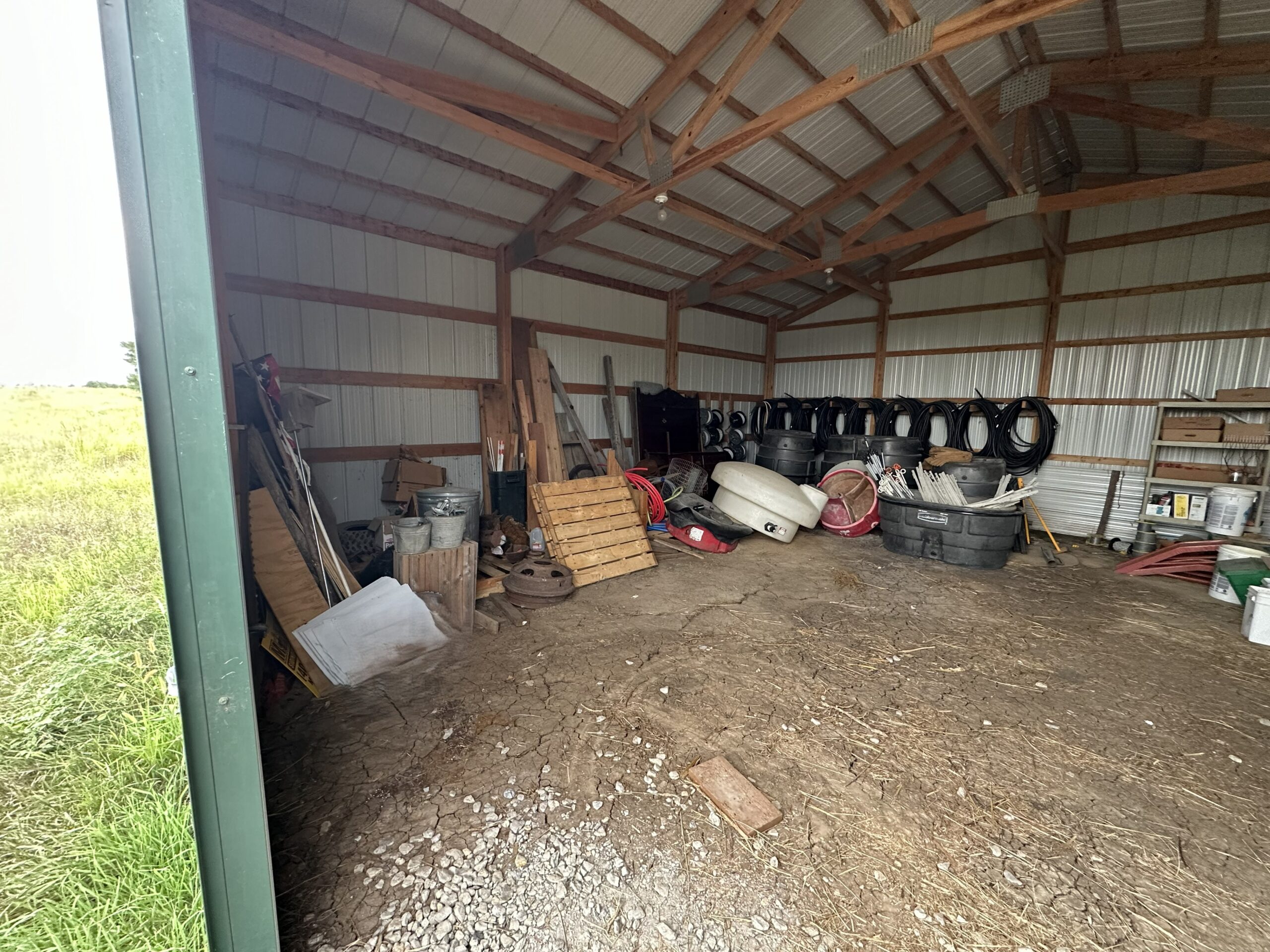
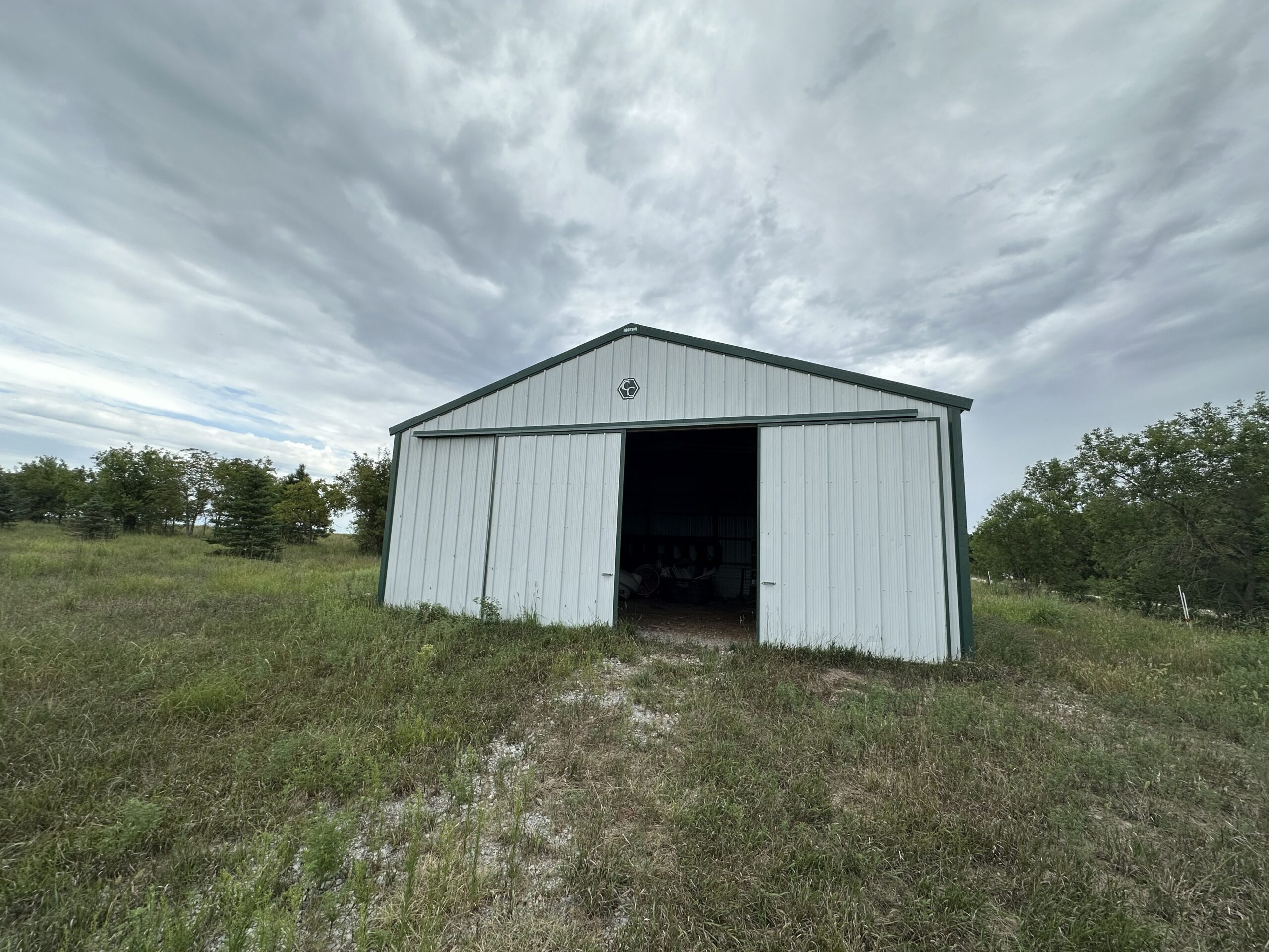
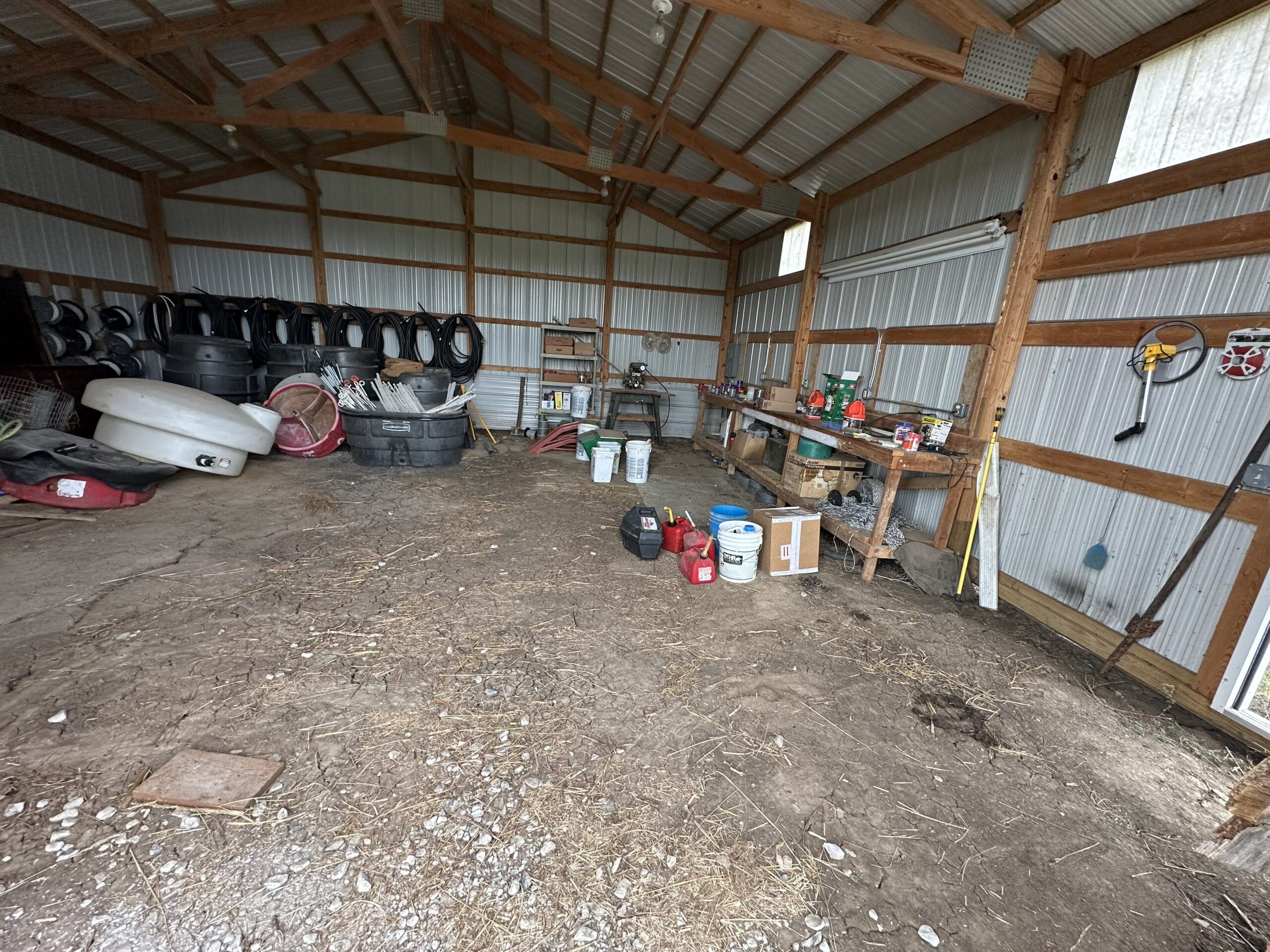
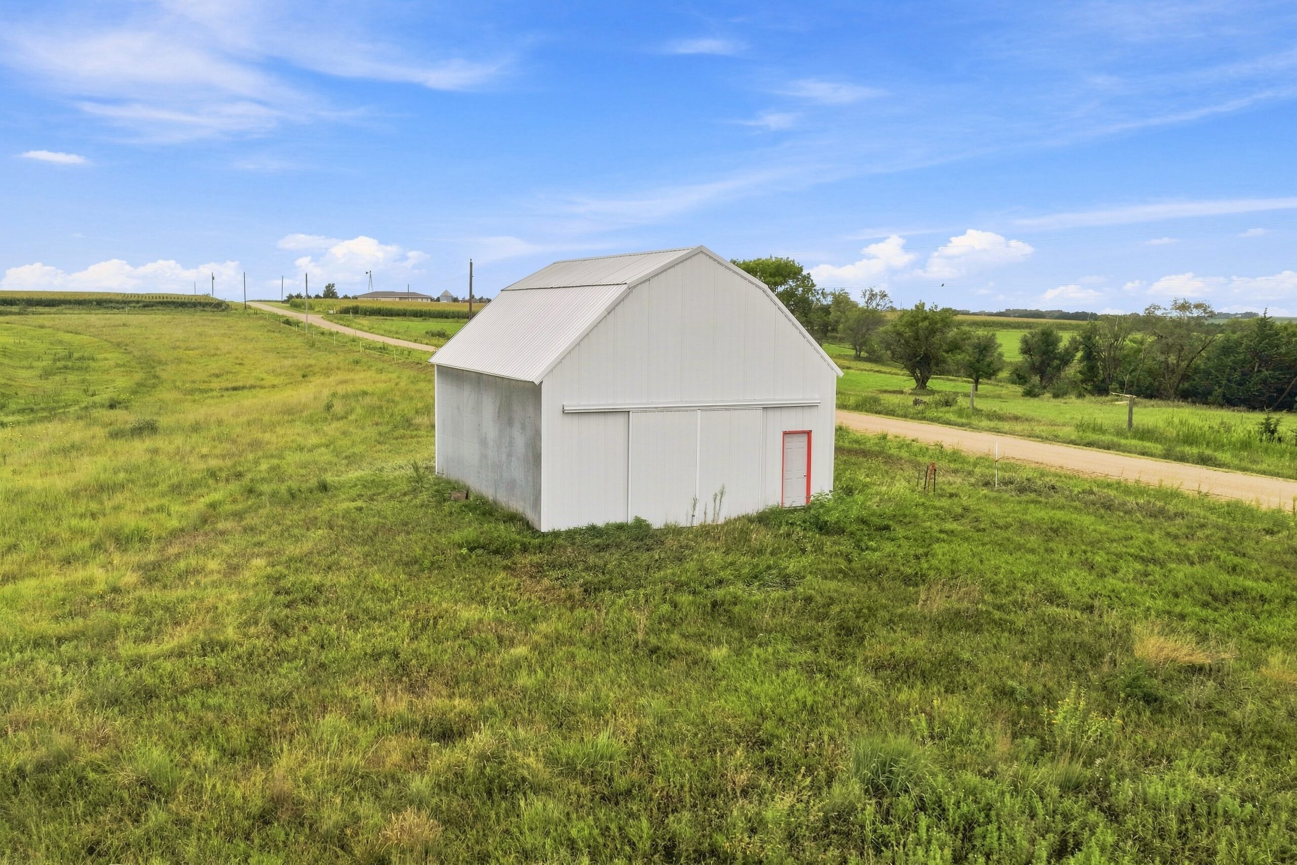
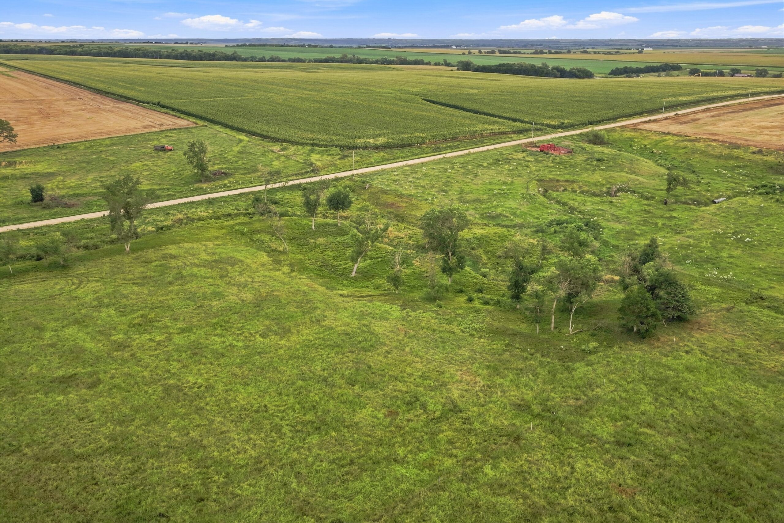
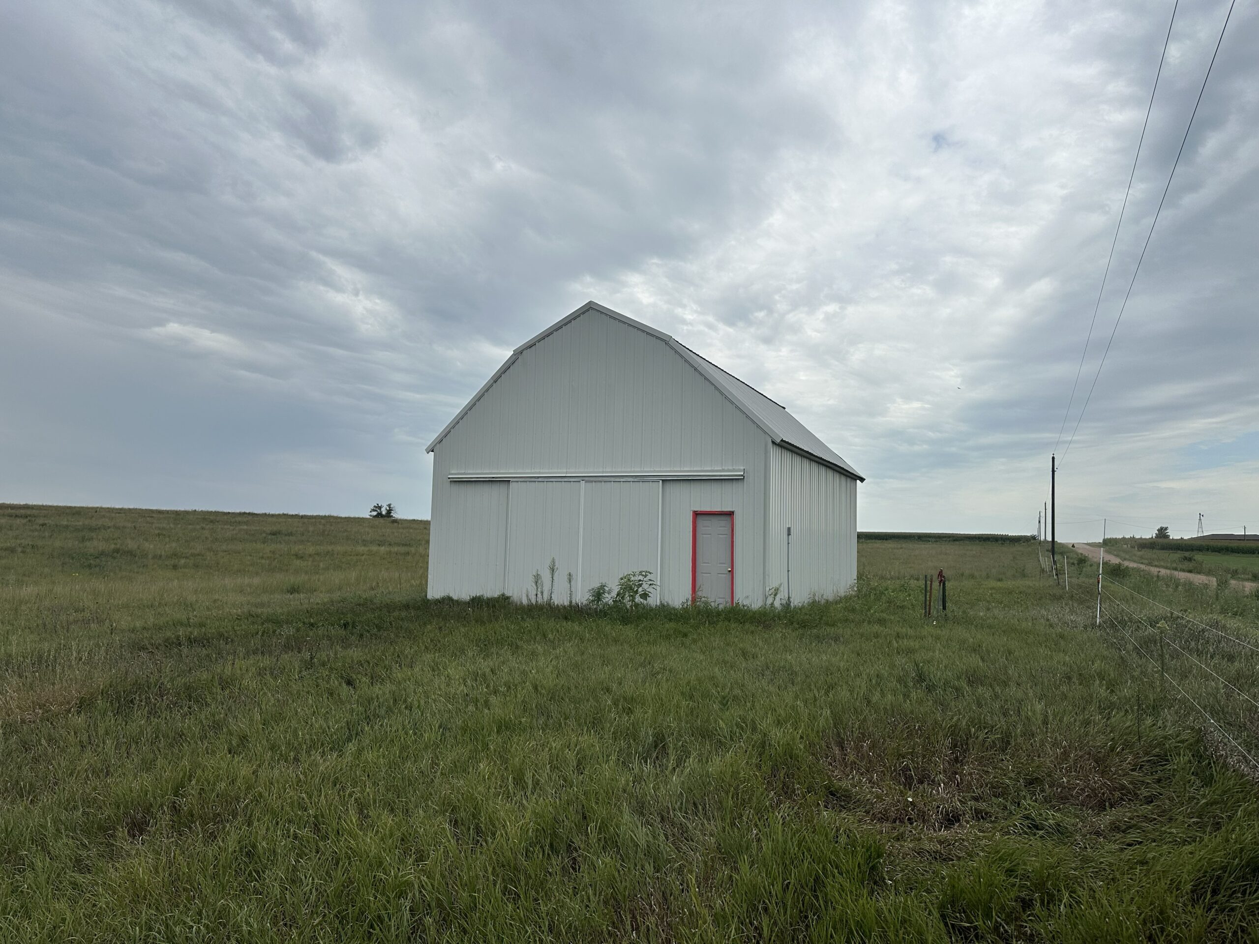
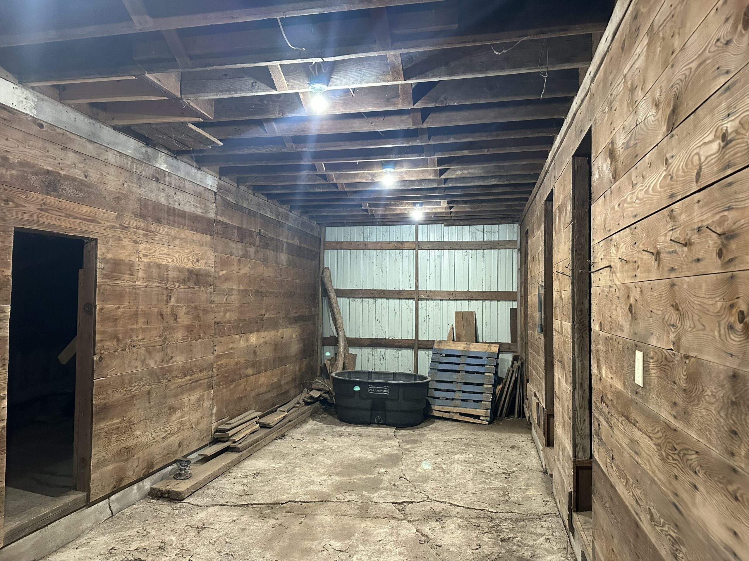
diverse forage species, extensive cross-fencing and water infrastructure, shelterbelts, multiple paddocks, and well-maintained outbuildings. Located just six miles from Fairbury with access to rural water and power, the farm offers excellent potential for continued grazing operations and expanded regenerative agriculture enterprises. The current owner is seeking a successor committed to building upon the land’s progress.
Location:
Parcel 1:
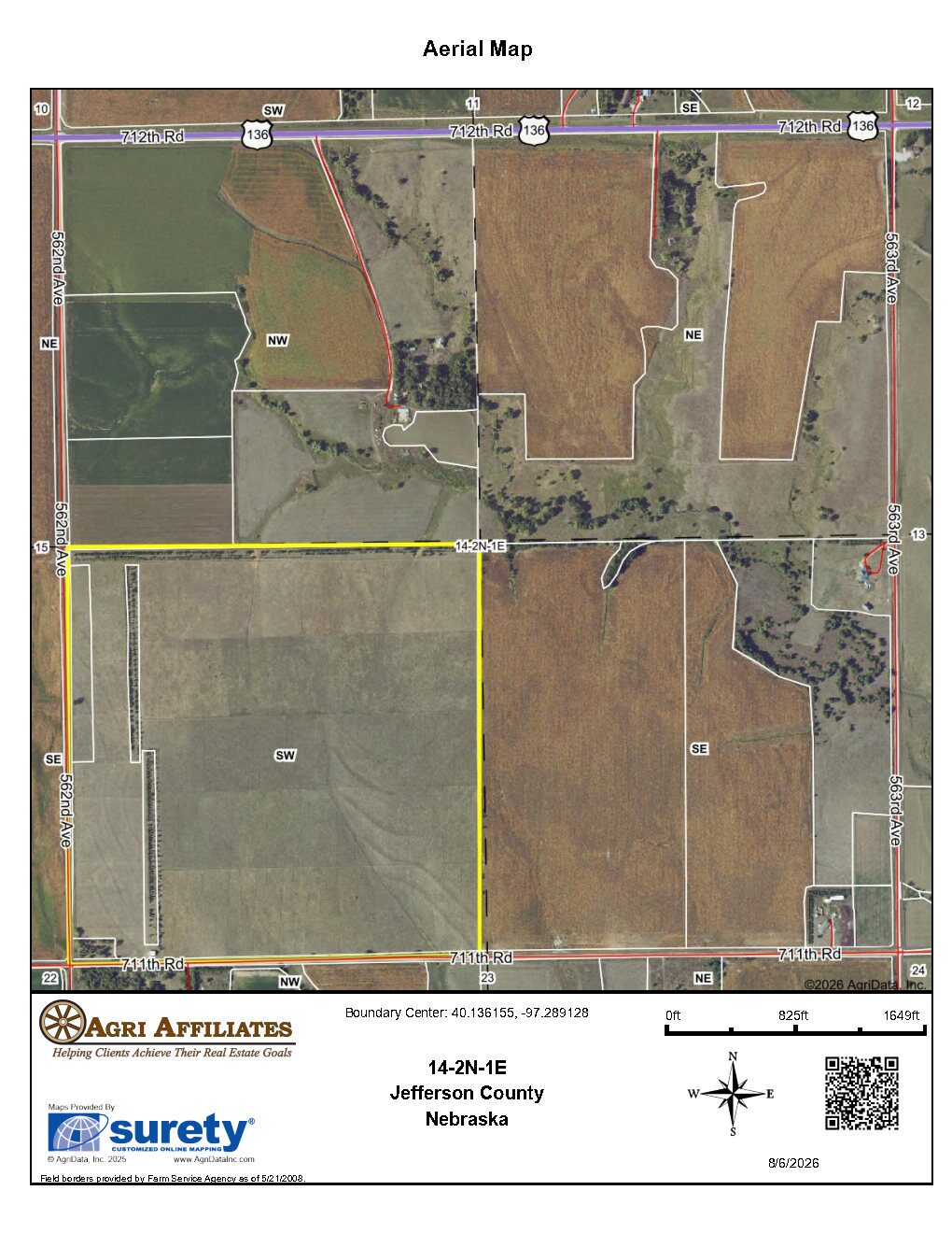
From the west side of Fairbury, Nebraska: approximately 5 miles west on Highway 136, then 0.5 mile south on 562nd Avenue, to the northwestern corner of the property.
Parcel 2:
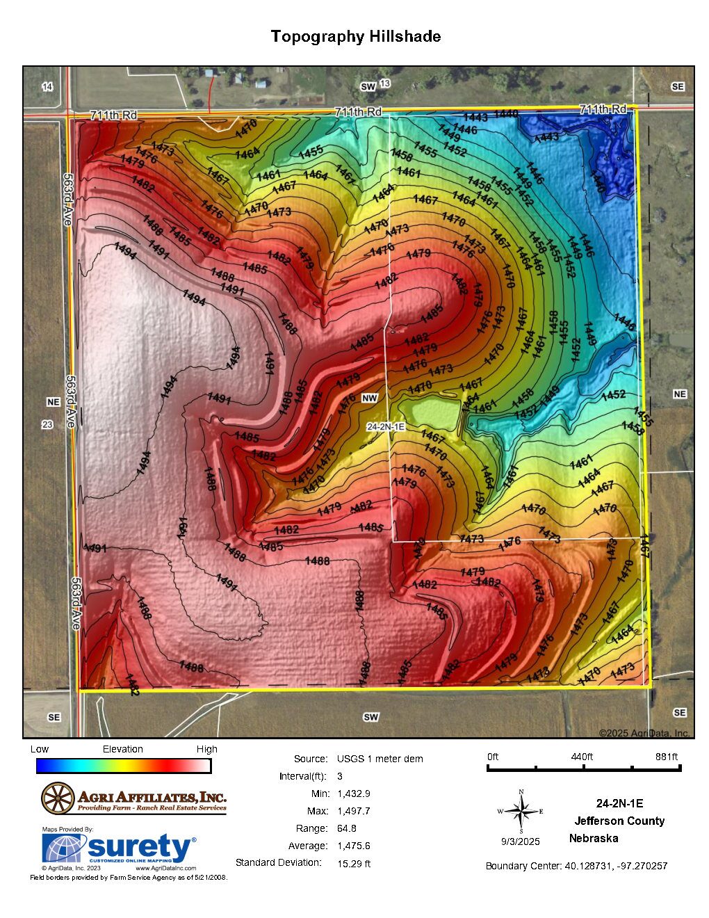
From the west side of Fairbury, Nebraska: approximately 3.5 miles west on Highway 136, then 1 mile south on 564th Avenue, then 0.5 mile west on 711th Road to the northeastern corner of the property.
Legal Description:
Parcel 1:
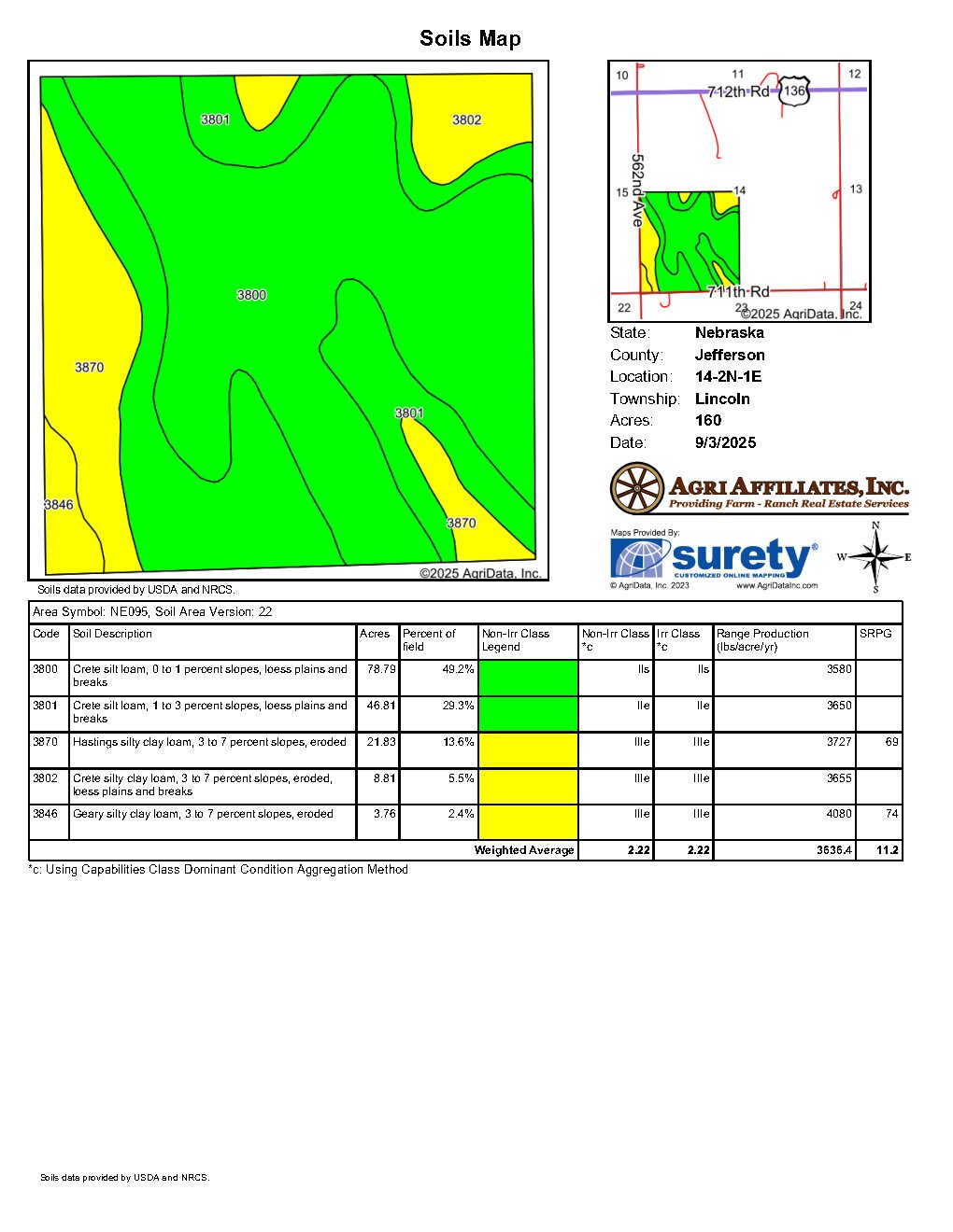
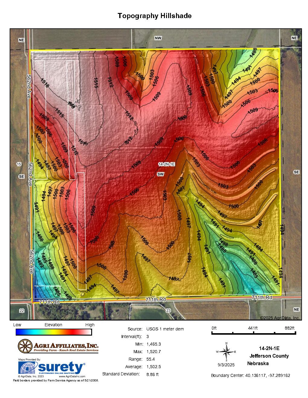
The Southwest Quarter (SW¼) of Section Fourteen (14), Township Two (2) North, Range One (1) East of the 6th P.M., Jefferson County, Nebraska.
Parcel 2:
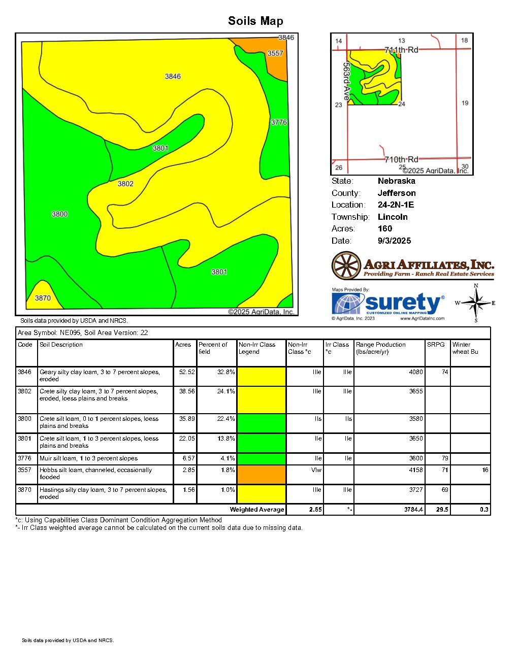
The Northwest Quarter (NW¼) of Section Twenty-Four (24), Township Two (2) North, Range One (1) East of the 6th P.M., Jefferson County, Nebraska.
Acres & Taxes:
Parcel 1:Tax-assessed Acres | 160 ± acres
2025 Real Estate Taxes | $3,255.08
Parcel 2:
Tax-assessed Acres | 160 ± acres
2025 Real Estate Taxes | $3,155.24
Lease:
Parcel 1:Full possession at closing.
Parcel 2:
Full possession at closing.
Soils:
Parcel 1:Primary soil type on the property consists of Crete silt loam, with slopes ranging from 0-7%.
Parcel 2:
Primary soil types on the property consist of Geary silty clay loam and Crete silty clay
loam, with slopes ranging from 0-7%.
NRD:
Parcel 1:Little Blue Natural Resources District
Parcel 2:
Little Blue Natural Resources District
FSA Information:
Parcel 1:Total Farmland: 156.28 ± acres
Total Cropland: 155.45 ± acres
Government Base Acres:
Wheat - 56.80
Grain Sorghum - 62.00
Soybeans - 7.40
PLC Yields:
Wheat - 35 bu
Grain Sorghum - 75 bu
Soybeans - 20 bu
Parcel 2:
Total Farmland: 156.30 ± acres
Total Cropland: 104.88 ± acres
Government Base Acres:
Wheat - 9.81
Corn - 49.95
Soybeans - 40.14
PLC Yields:
Wheat - 41 bu
Corn - 121 bu
Soybeans - 40 bu
Comments:
Parcel 1:Located only ½ mile from Parcel 2, this Parcel provides robust windbreaks, excellent historical calving rates, and diverse plant species providing exceptional grazing.
Parcel 2:
55 acres of virgin prairie plus, along with 100 acres seeded to a native prairie mix with over 150 species of grasses, legumes, sedges, wildflowers, and forbs, making this an exceptional habitat for grazing animals and wildlife.
Property Maps
Click thumbnail to open a full size image.