Description:
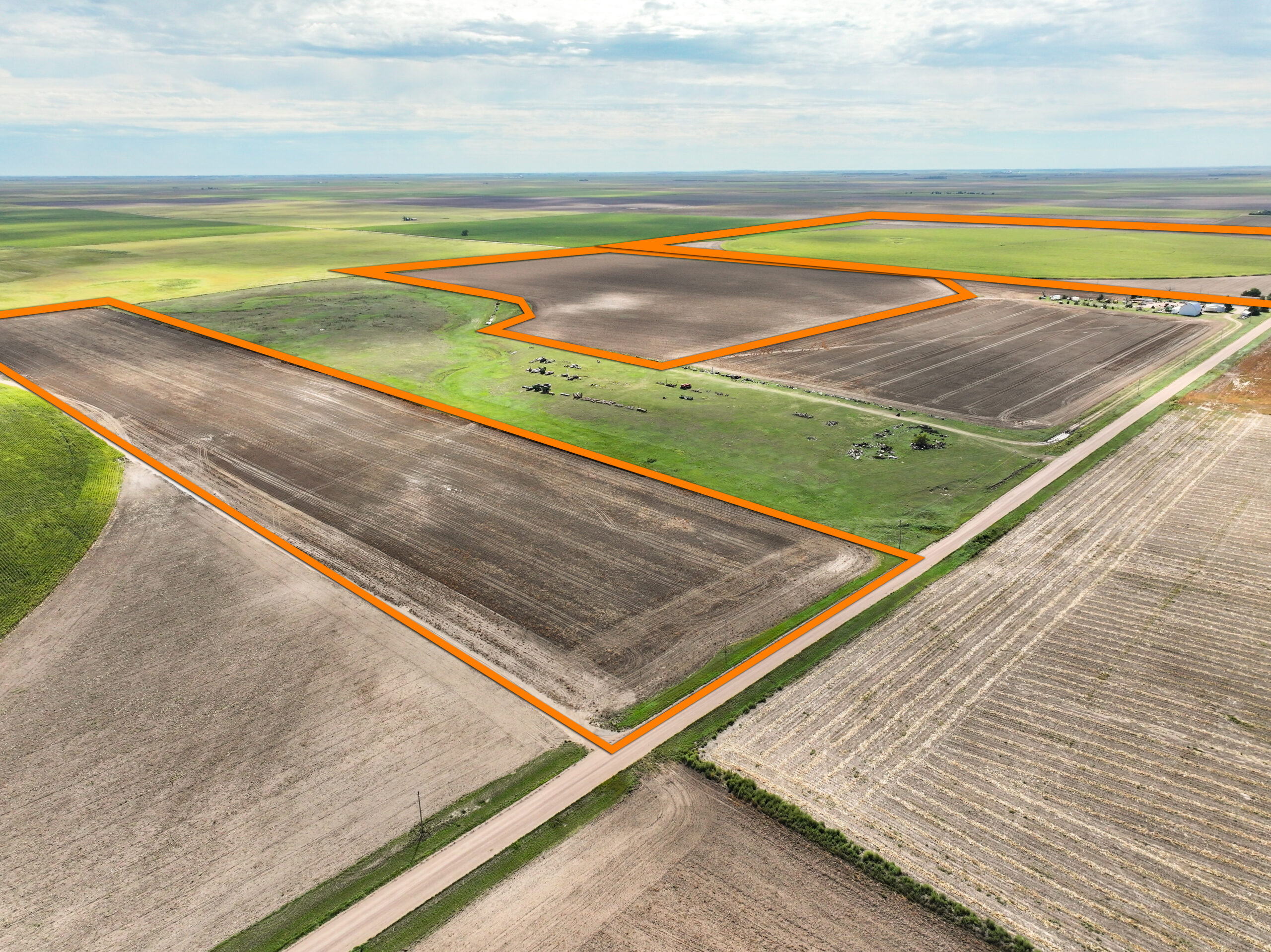
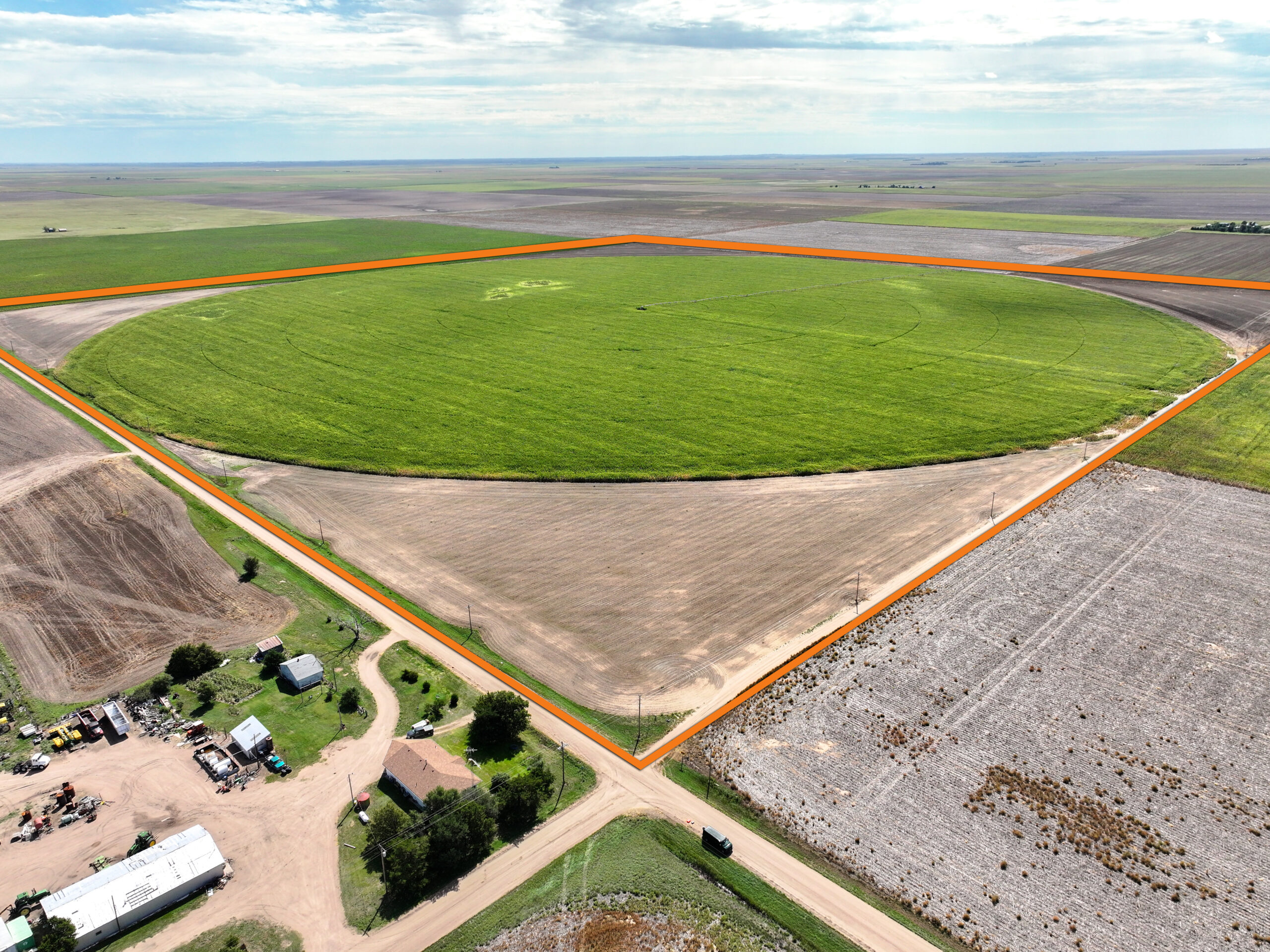
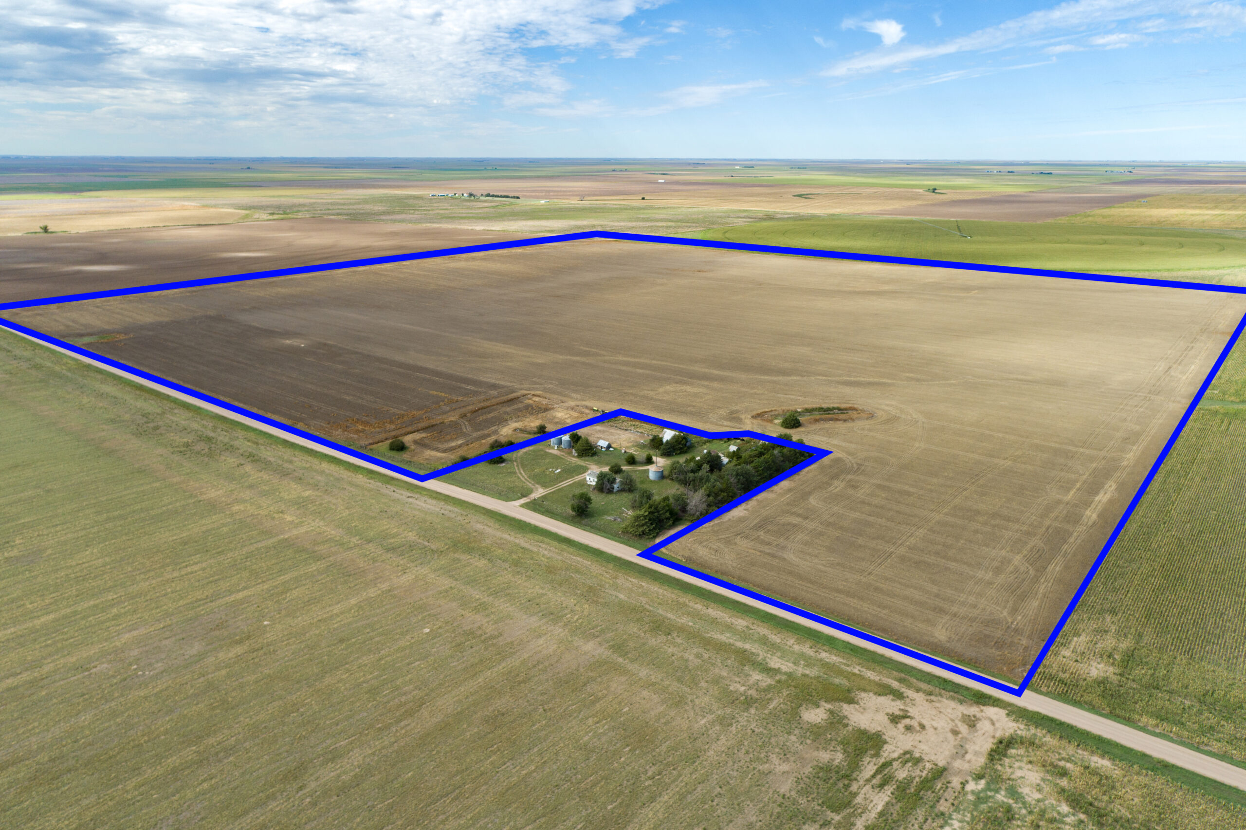
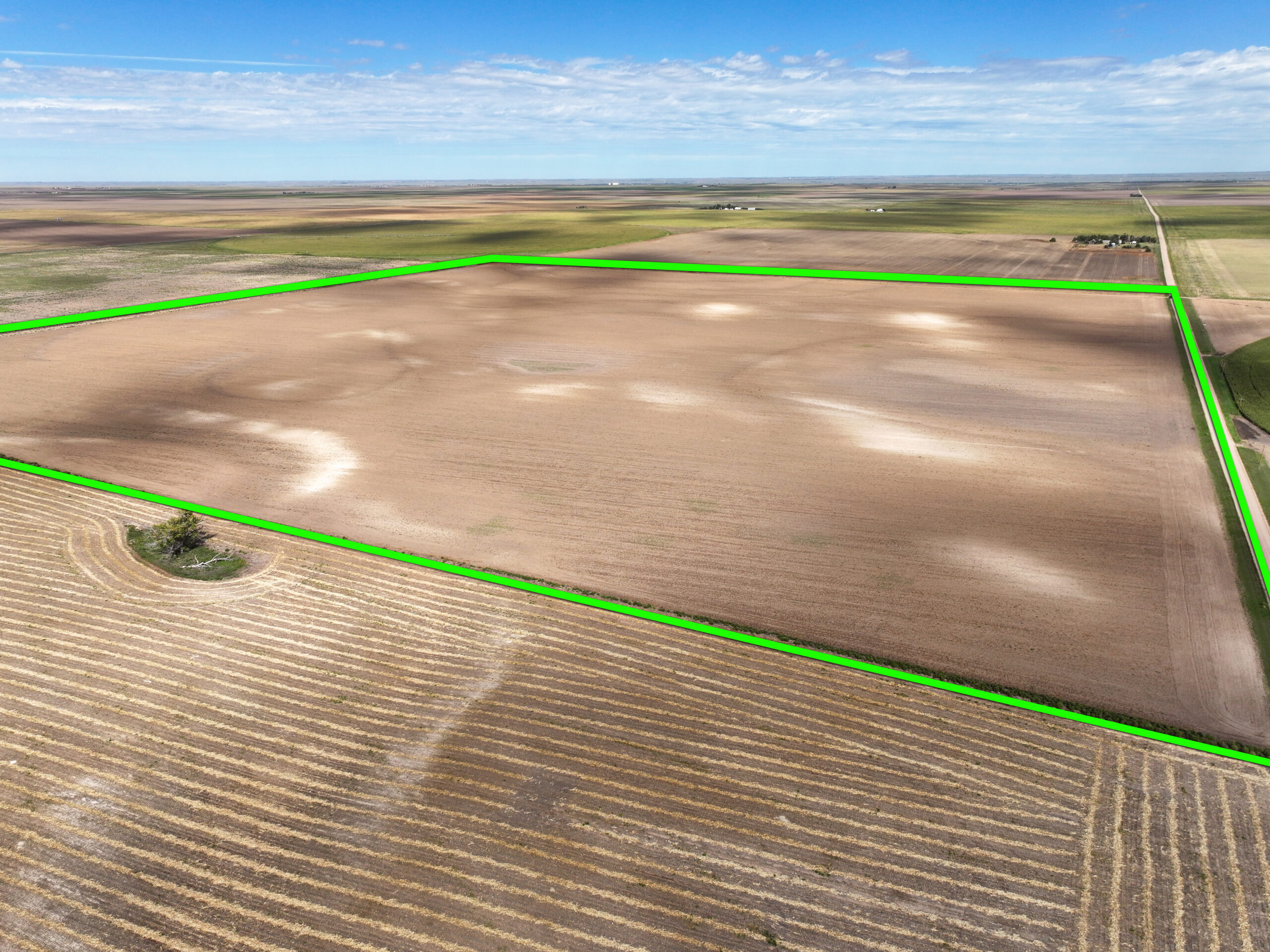
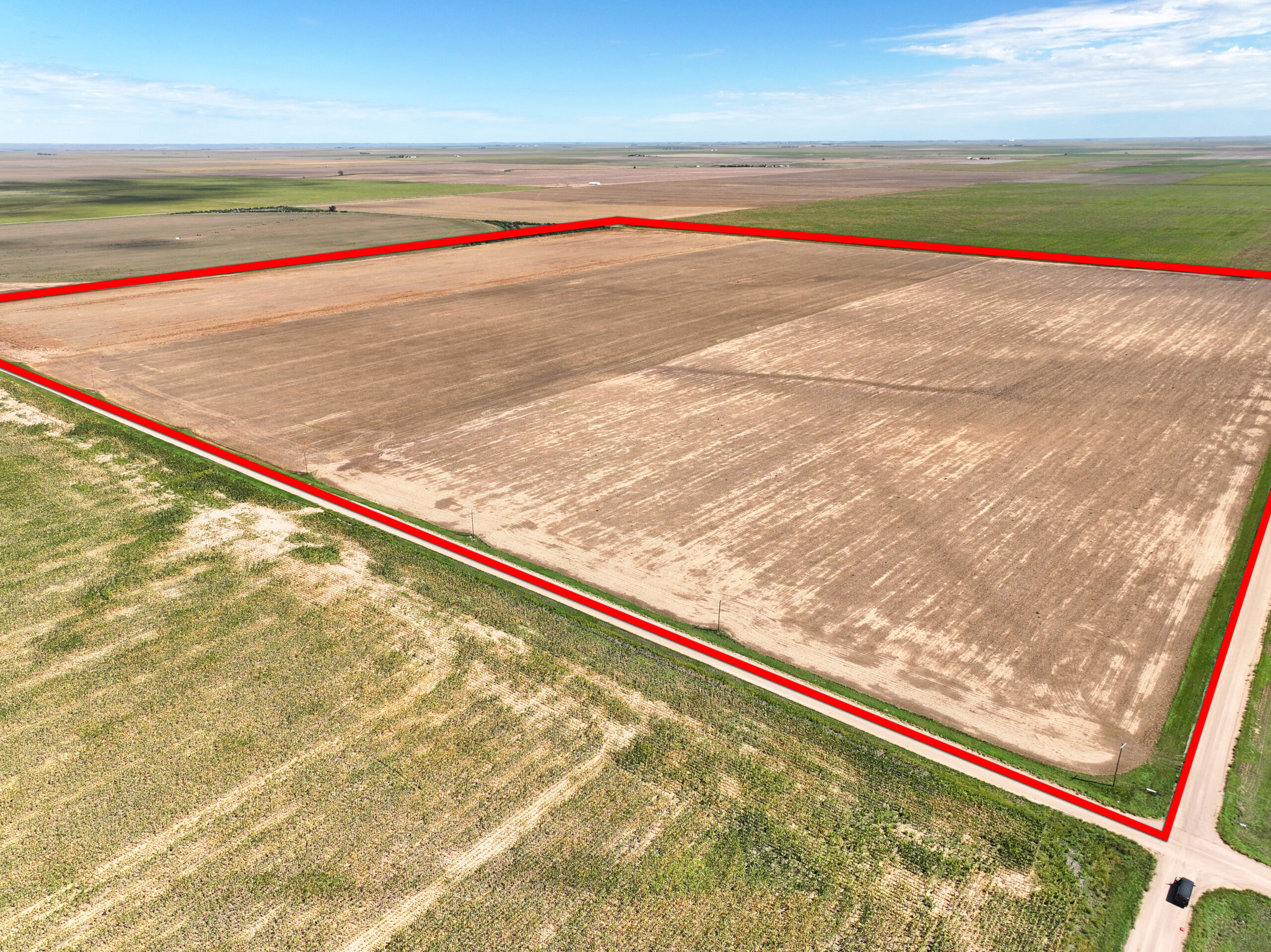
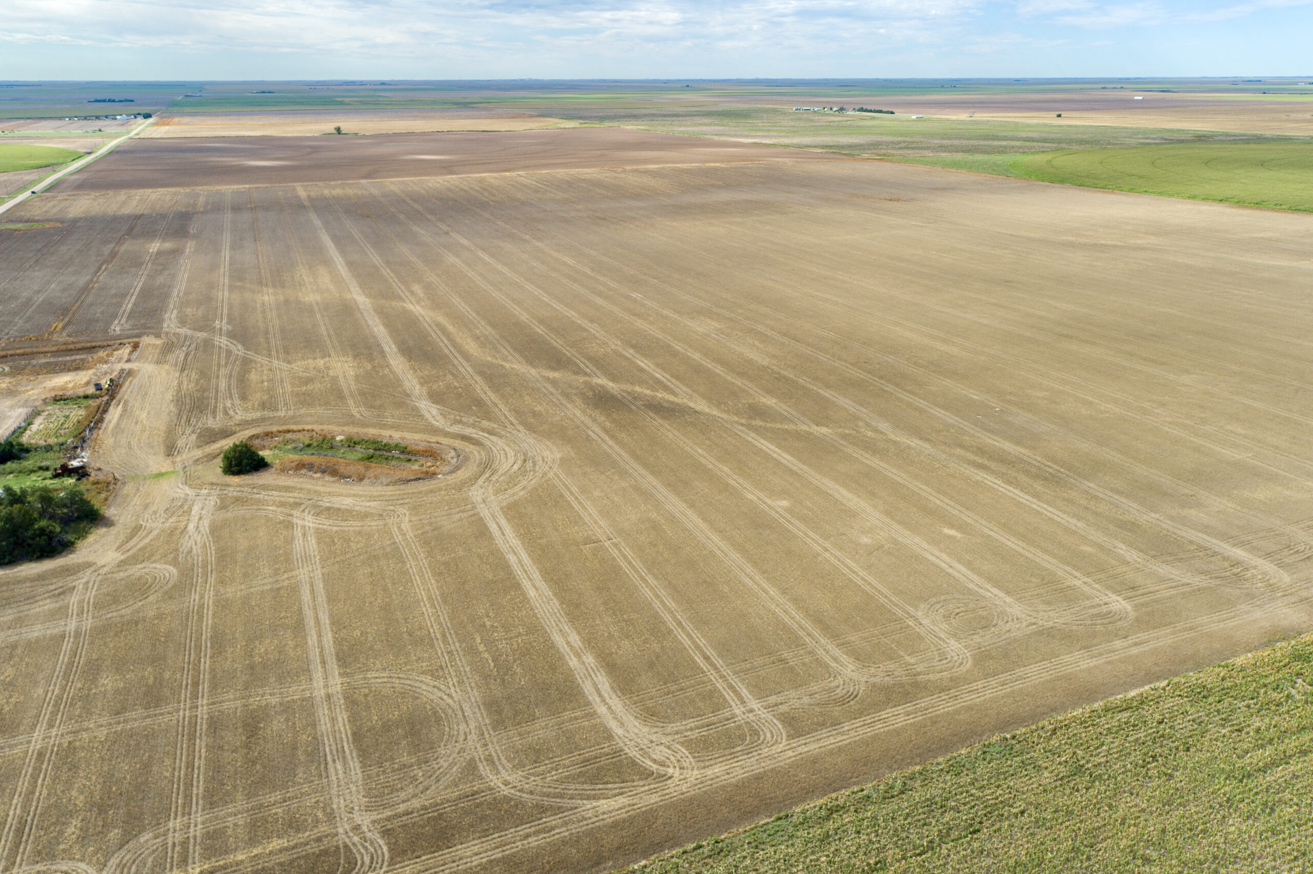
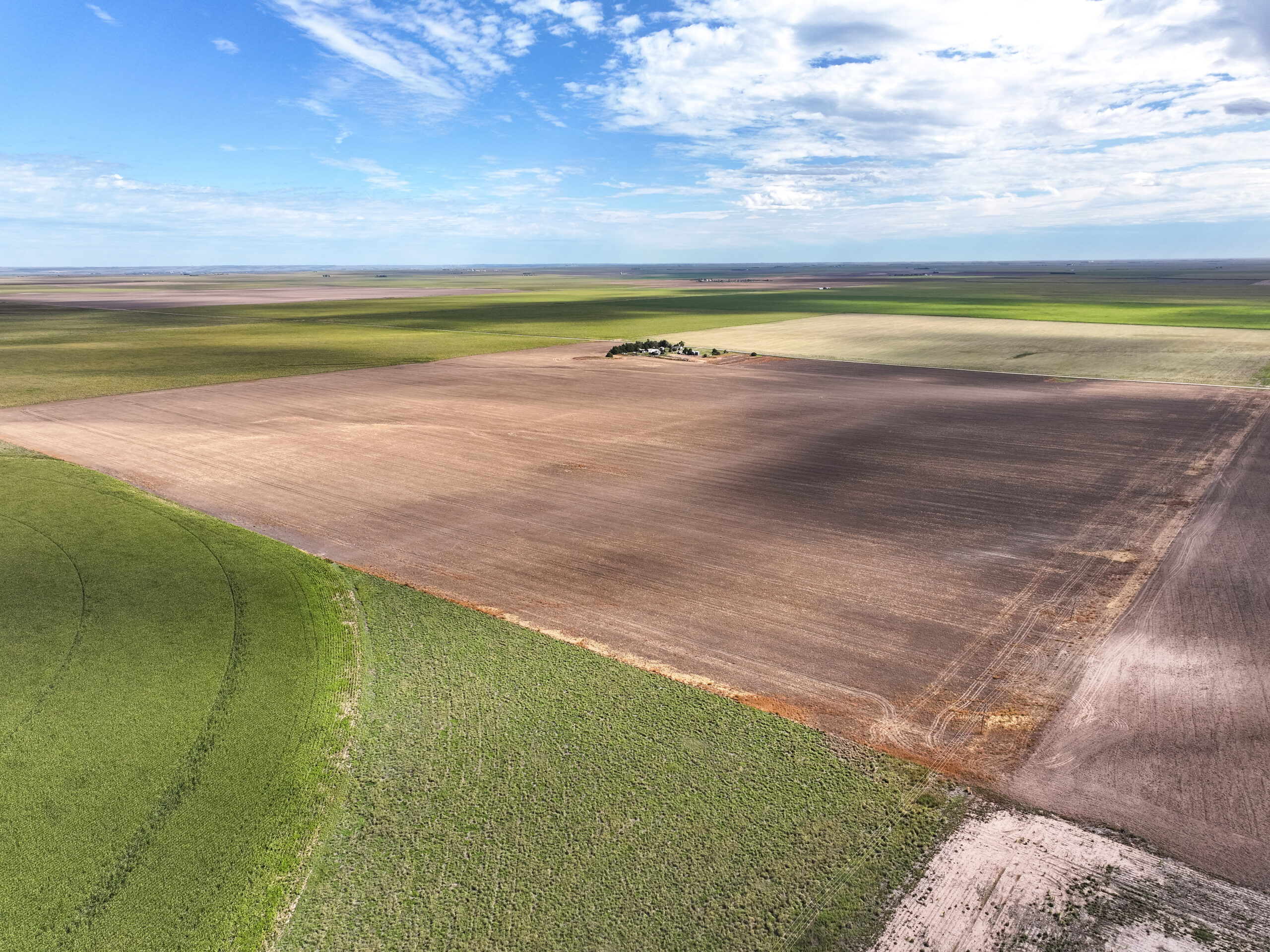
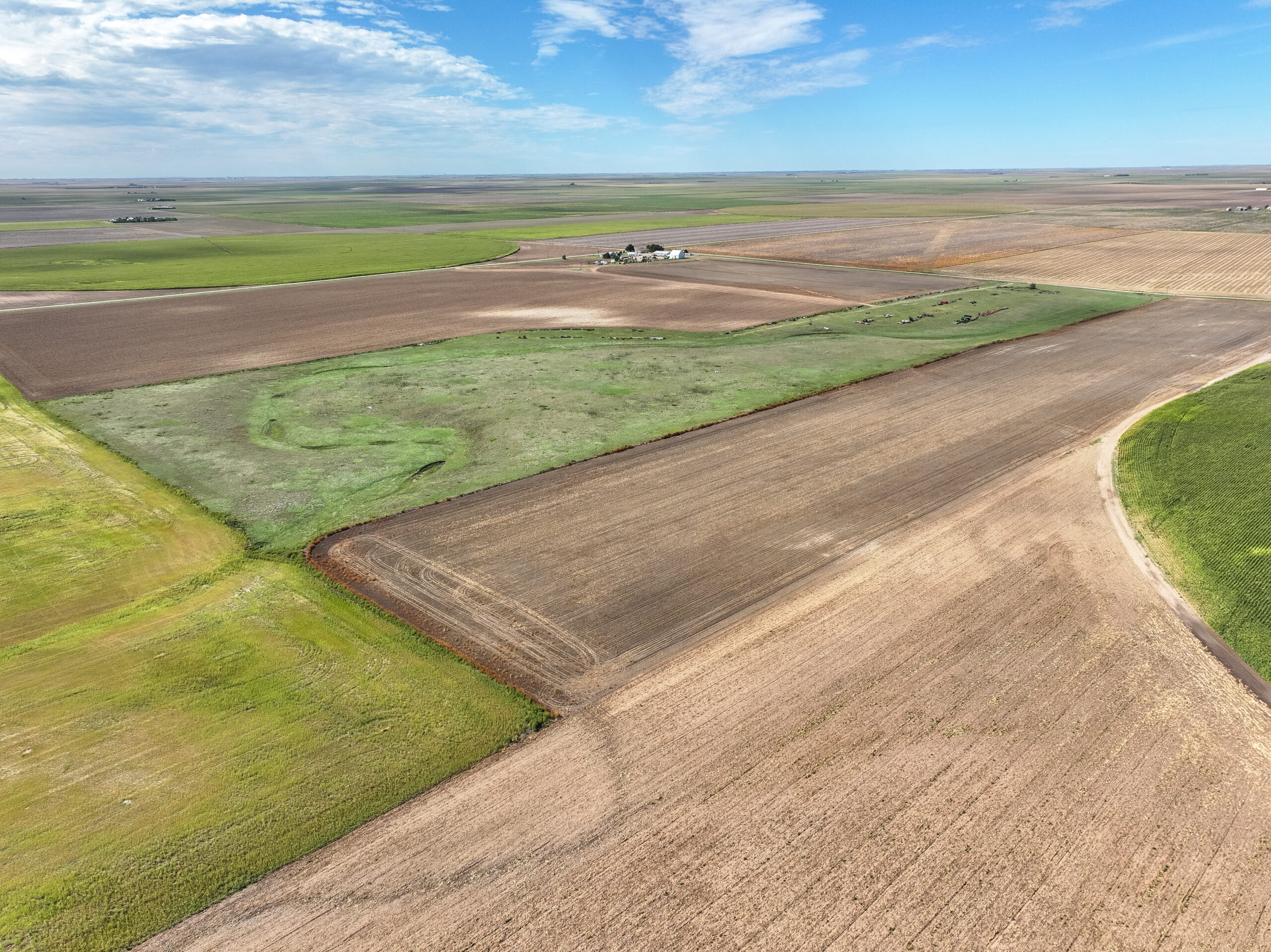
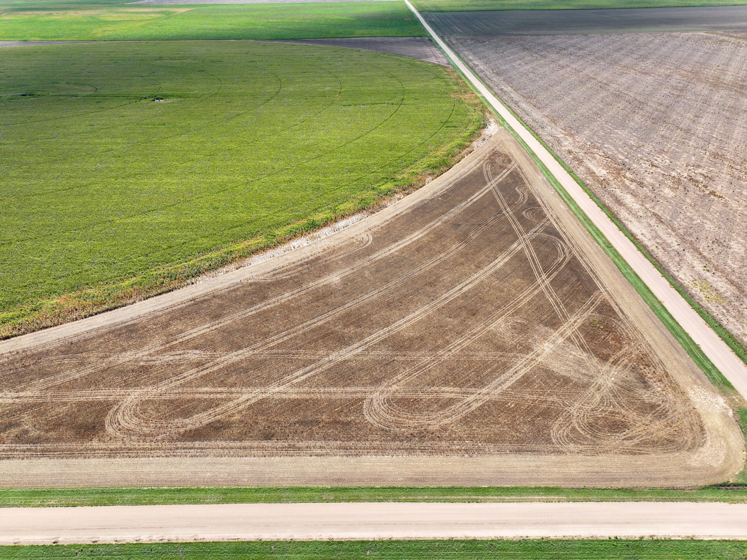
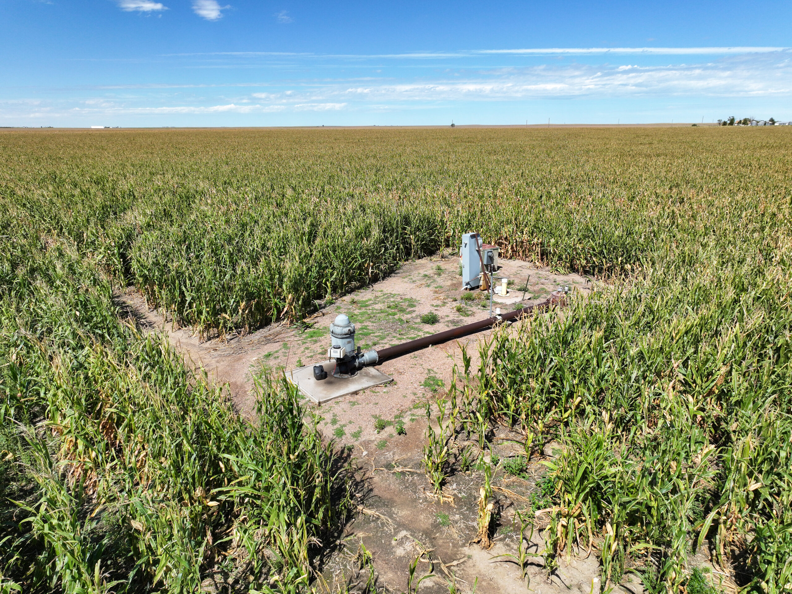
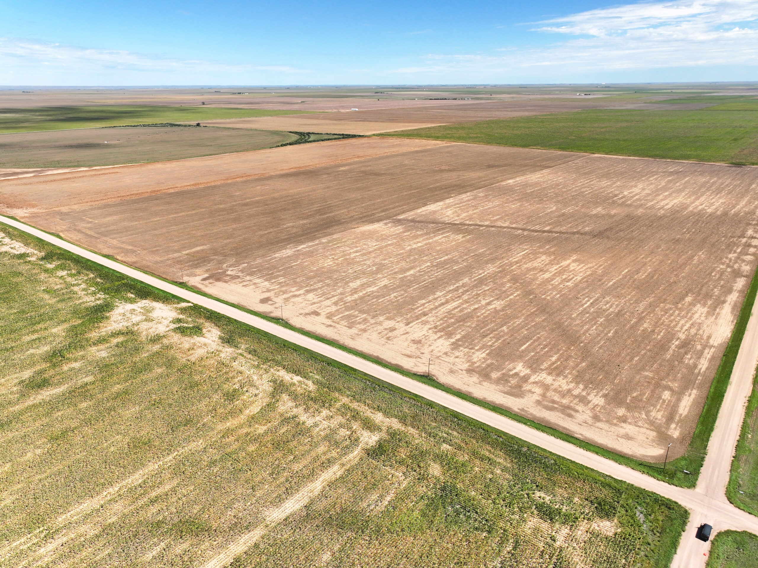
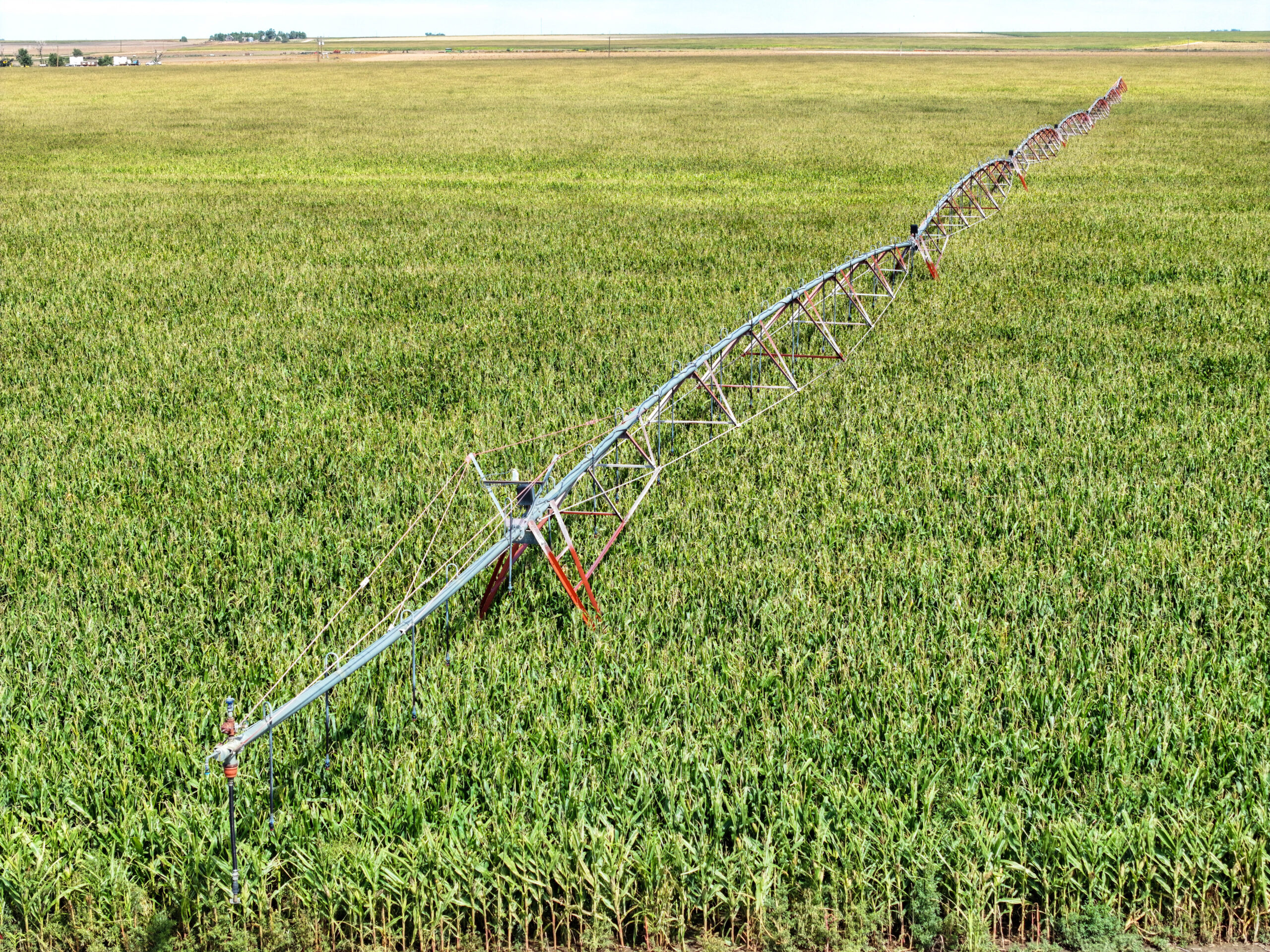
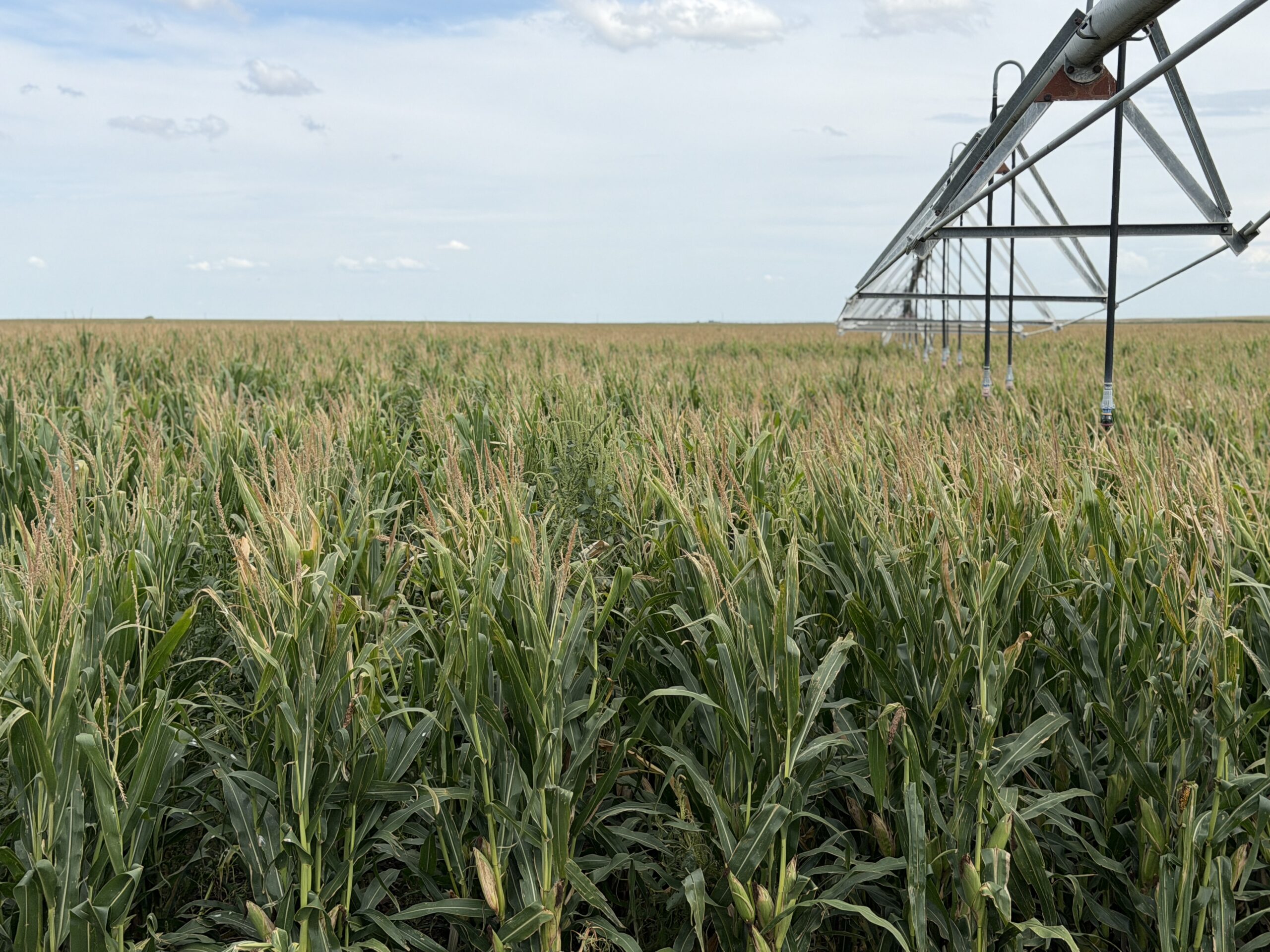
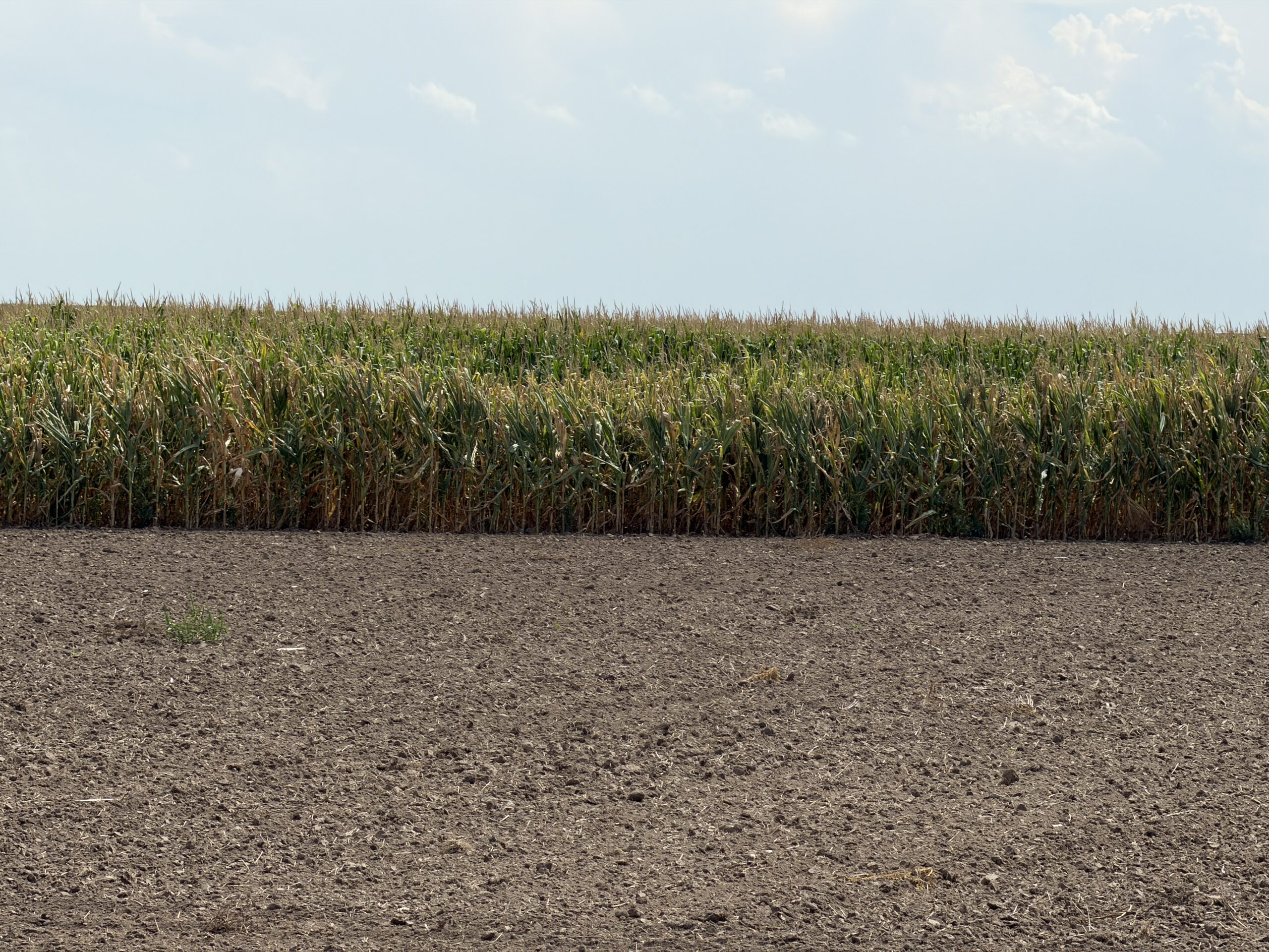
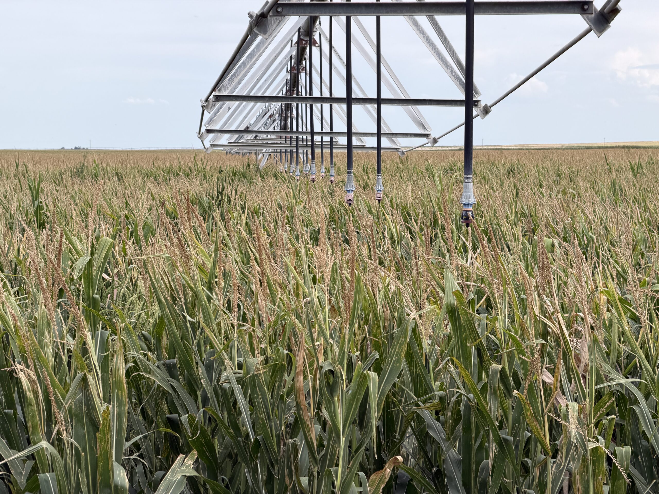
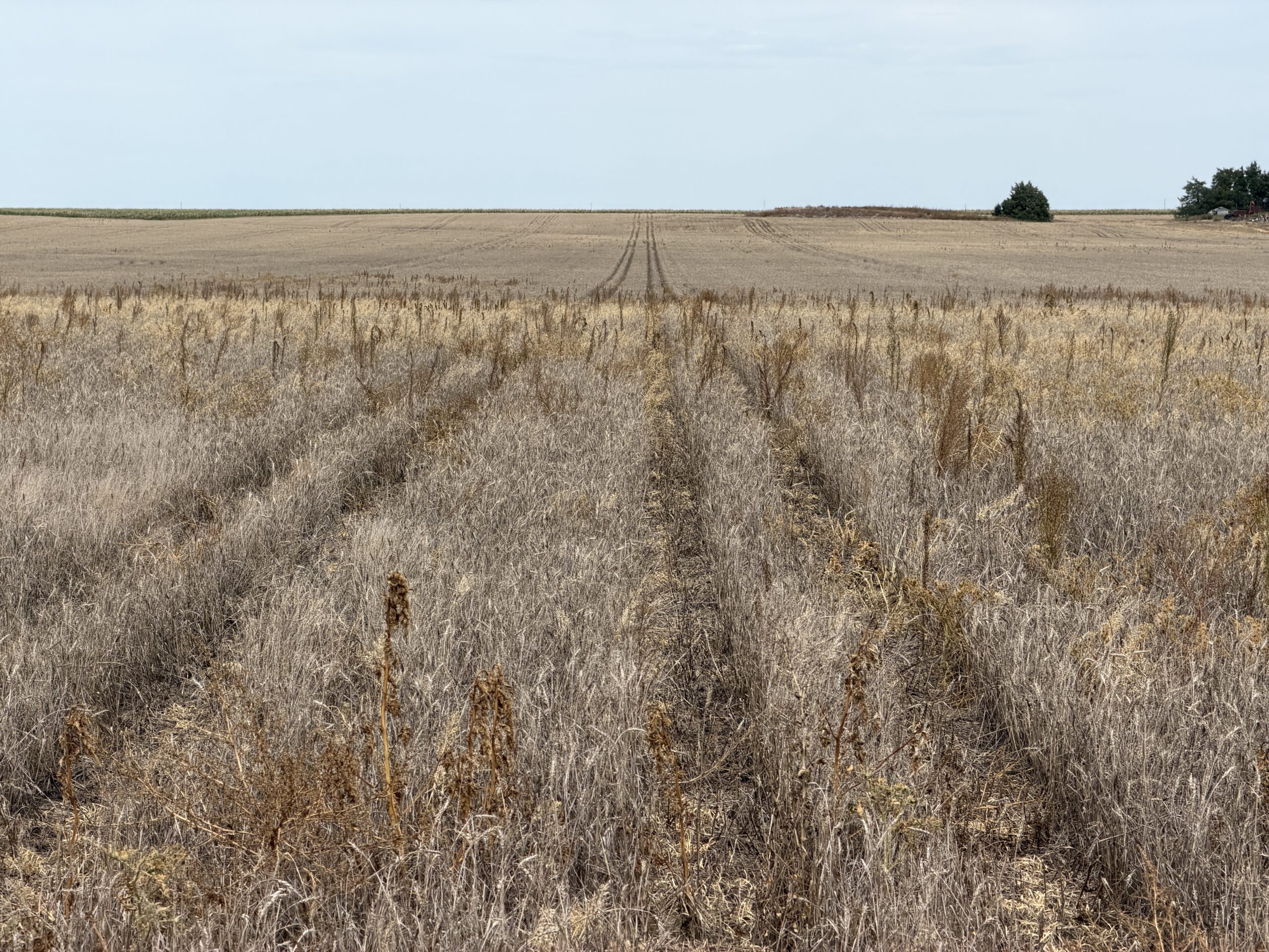
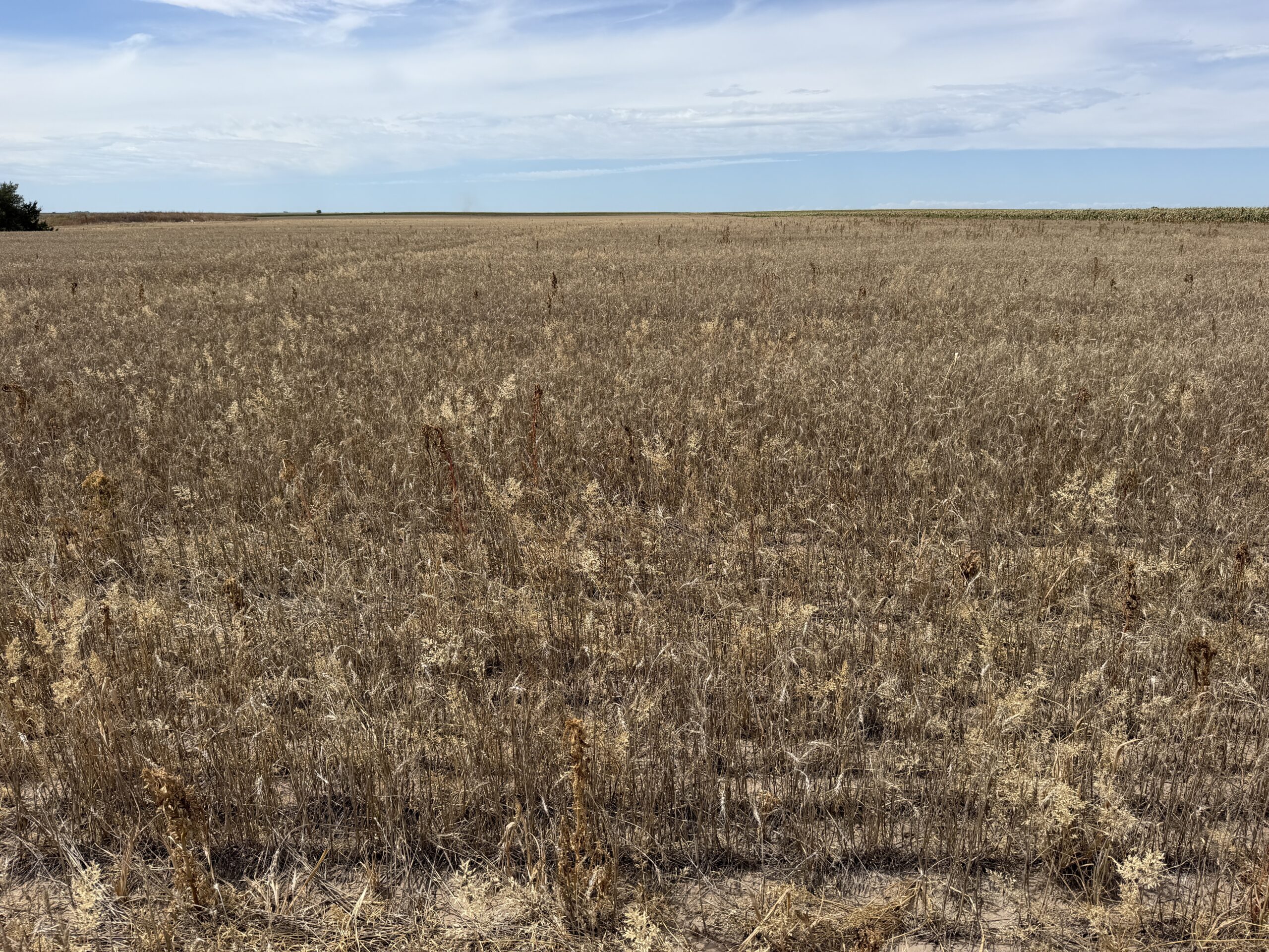
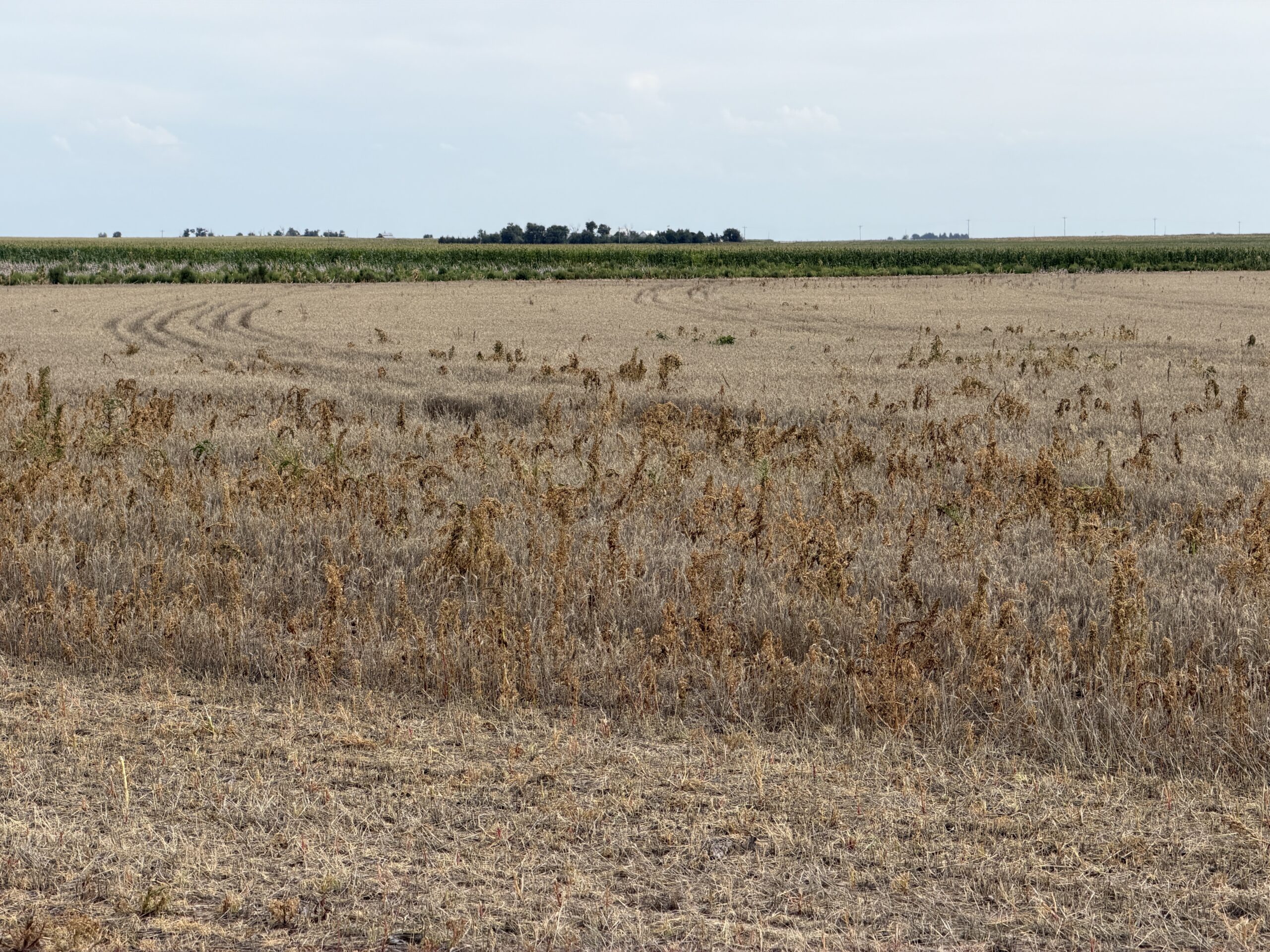
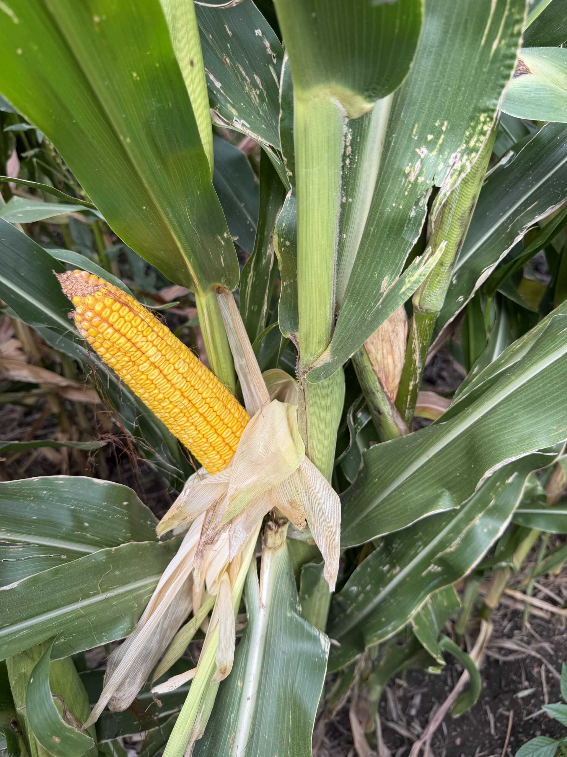
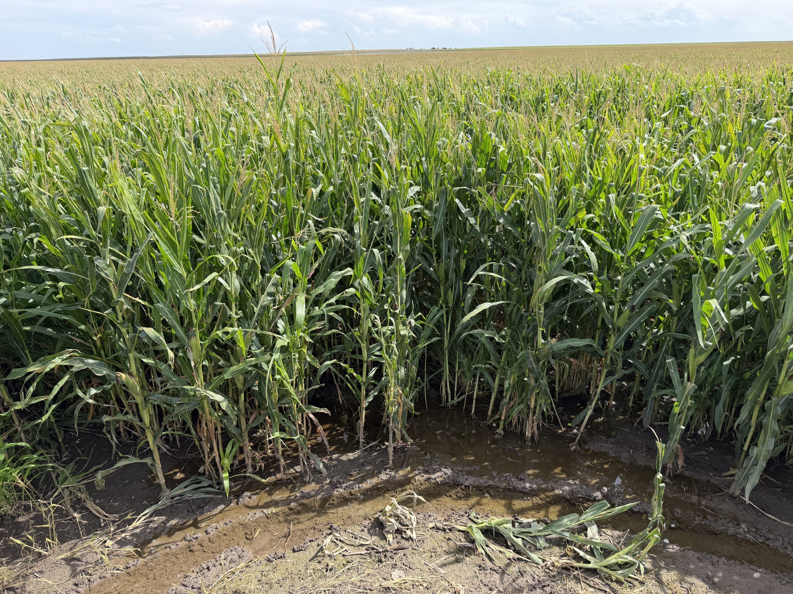
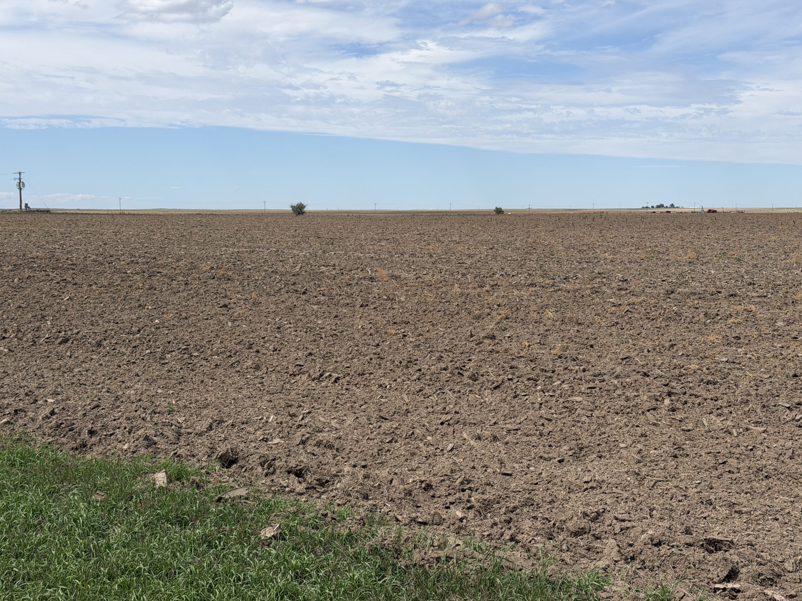
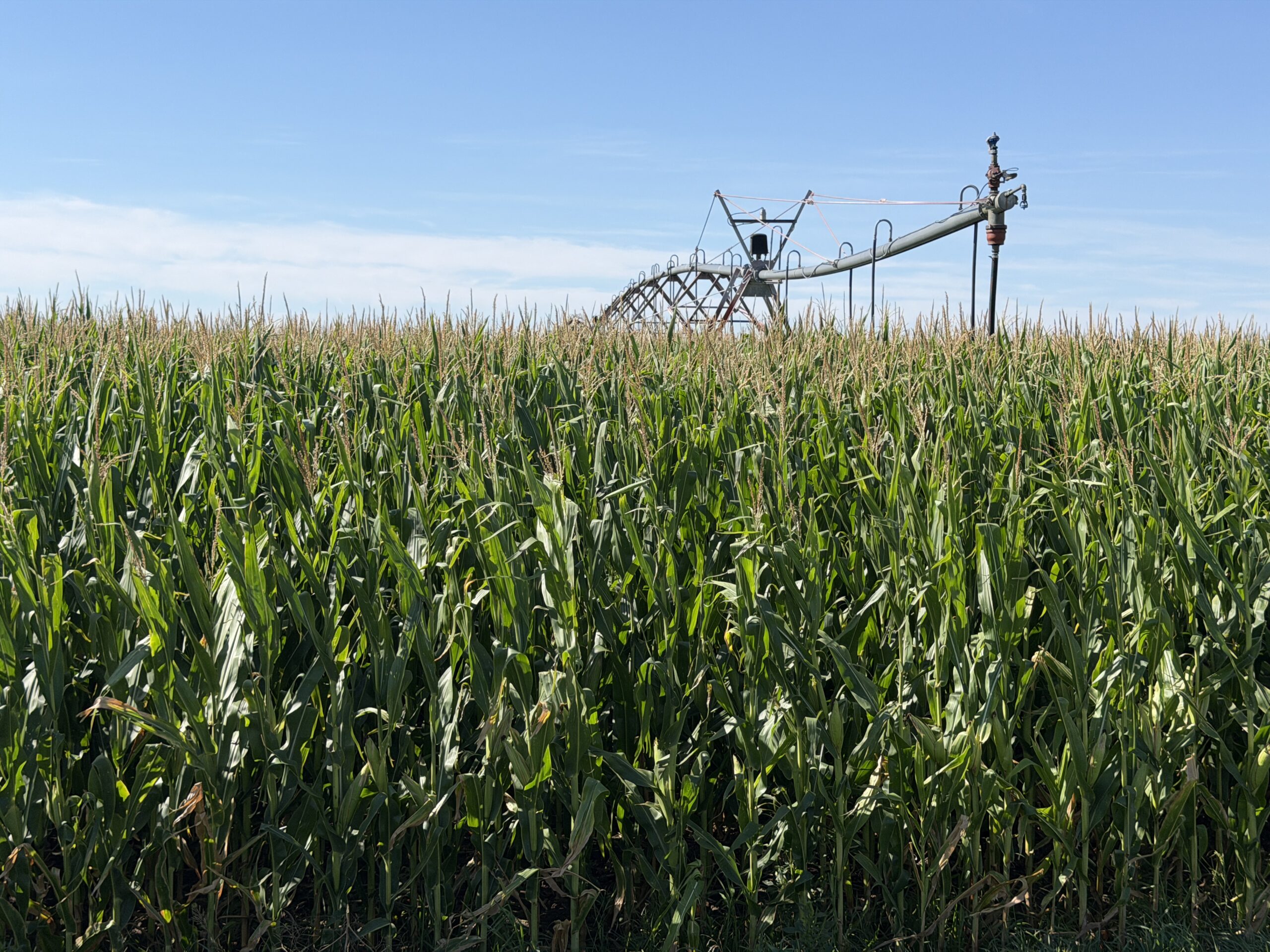
This property is made up of 252 acres of irrigated cropland and 614 acres of dry cropland with great soils, excellent county road access, and is located in a progressive farming community in northern Perkins County.
Location:
From Interstate 80 at Ogallala, NE travel 11 miles south on State Hwy 61 to Road 768 then turn west and travel 13 miles to Road 315, then turn south for another 1.5 miles to the northeast corner of Parcel 3.
Legal Description:
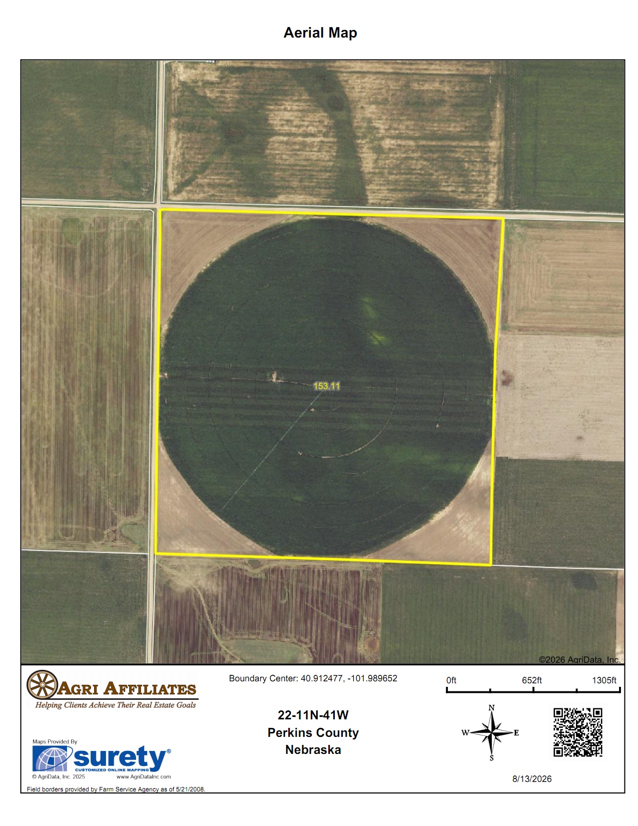
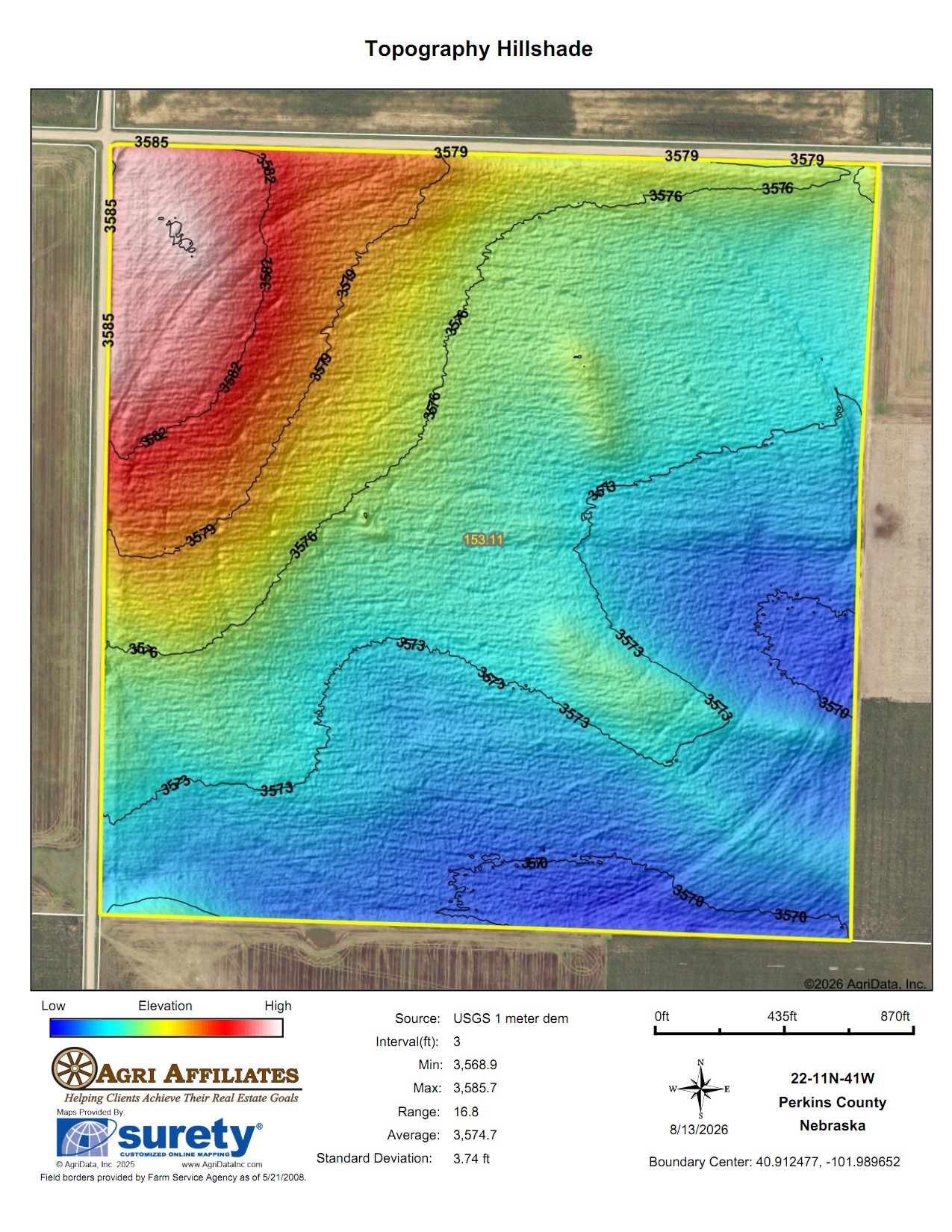
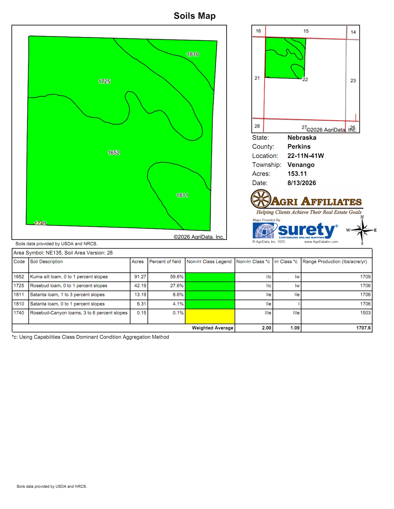
Parcel 1: NW¼ Section 22-T11N-R41 West of the 6th P.M.
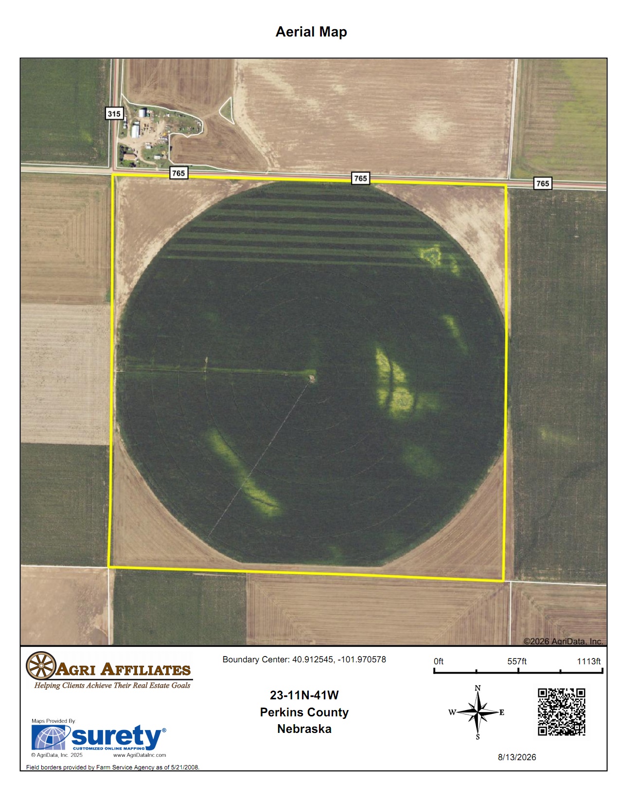
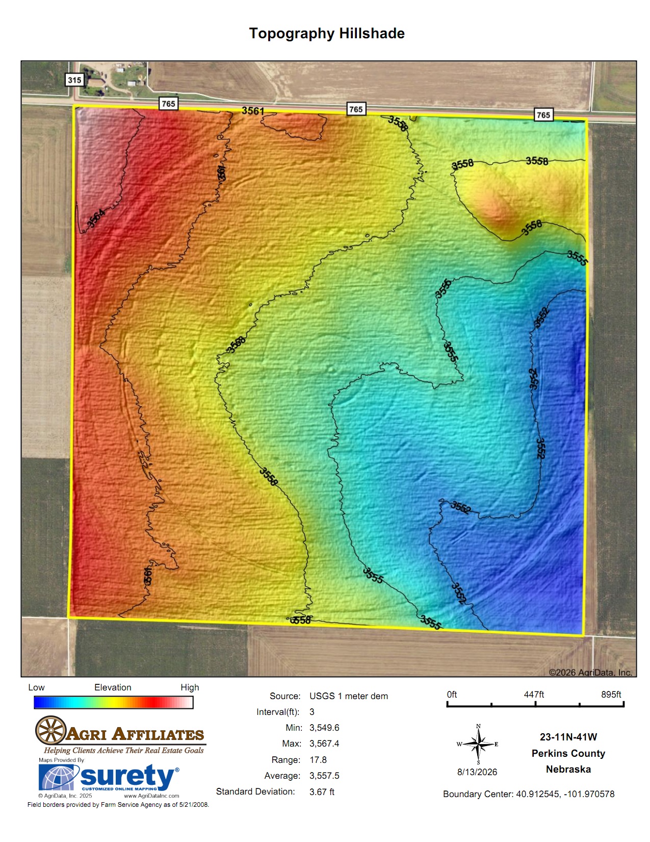
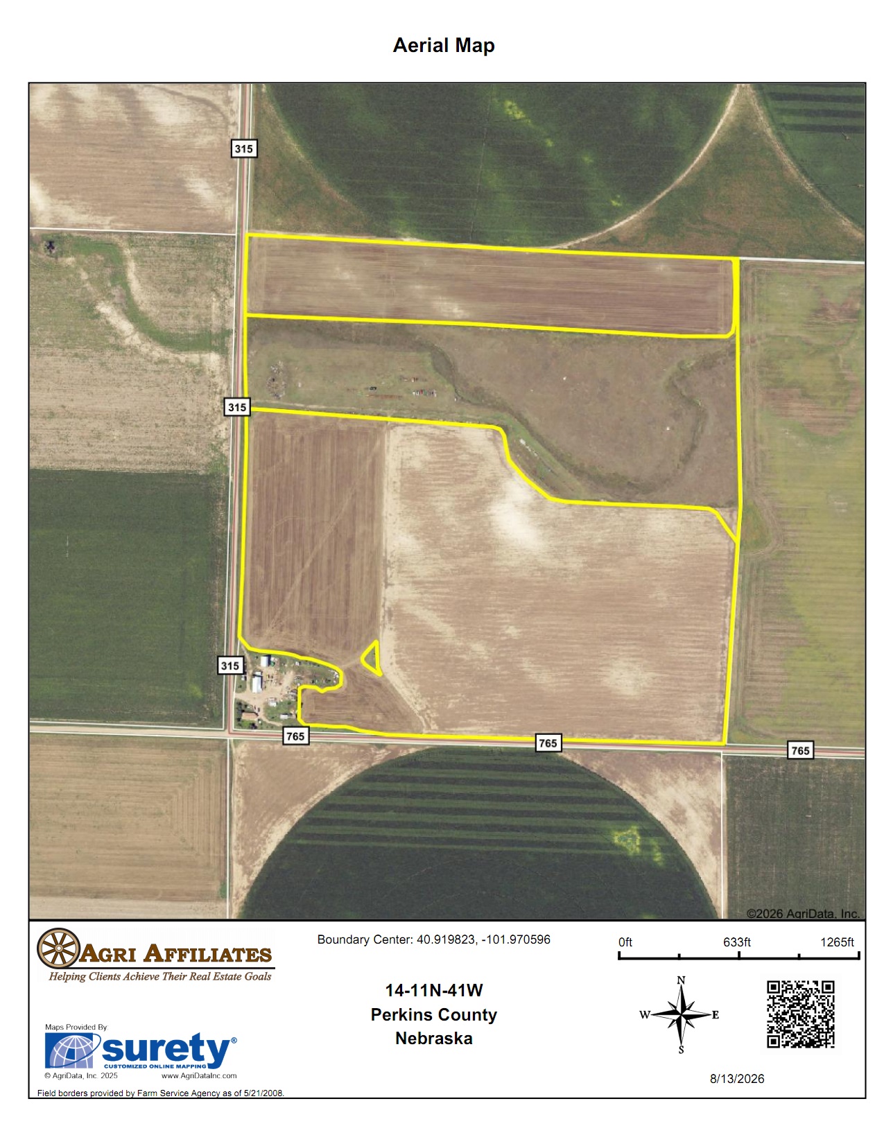
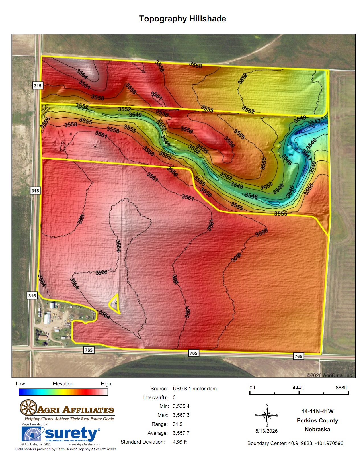
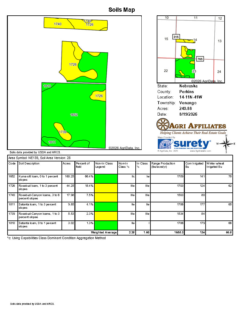
Parcel 2: Pt N½N½SW¼ (Dry Cropland only), Pt SE¼NW¼SW¼ (Dry Cropland only), Pt E½SW¼SW¼ (on existing field boundary, including irrigation well) SE¼SW¼ Section 14-11N-41W; NW¼ Section 23-11N-41W of the 6th P.M.
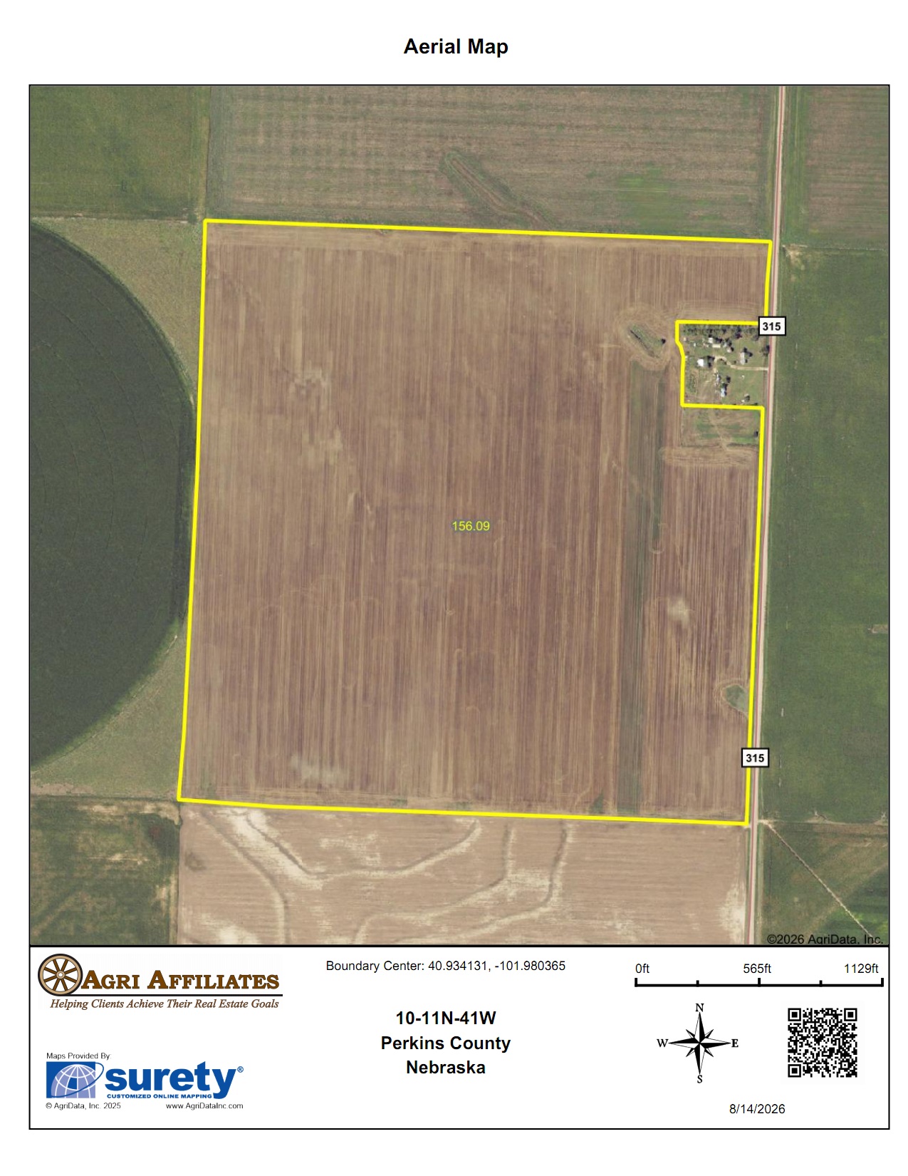
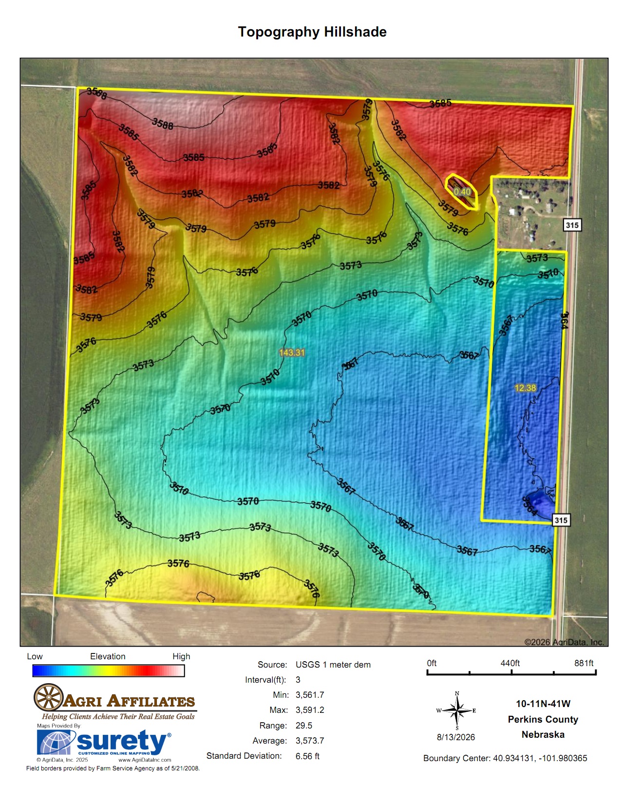
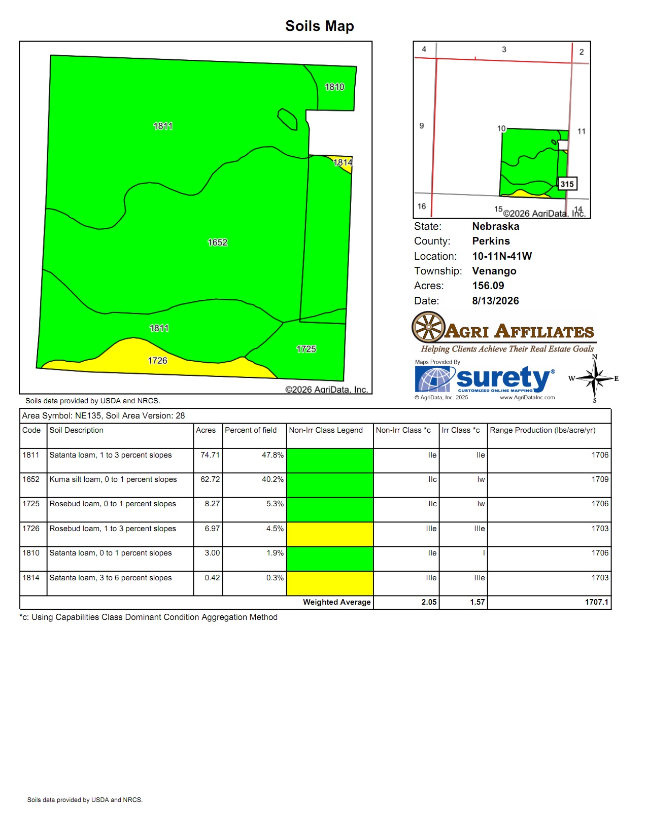
Parcel 3: SE¼ Section 10-T11N-R41 West of the 6th P.M.
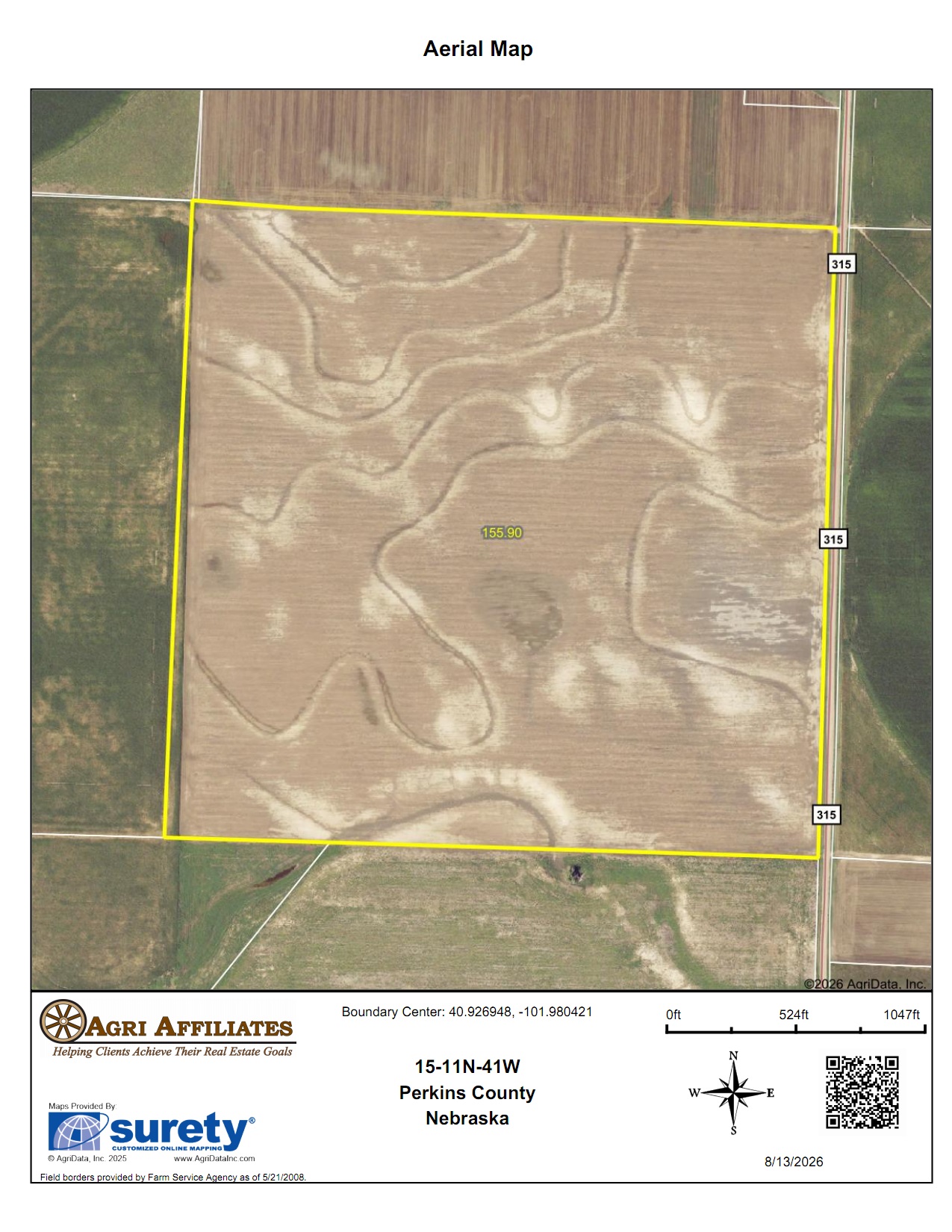
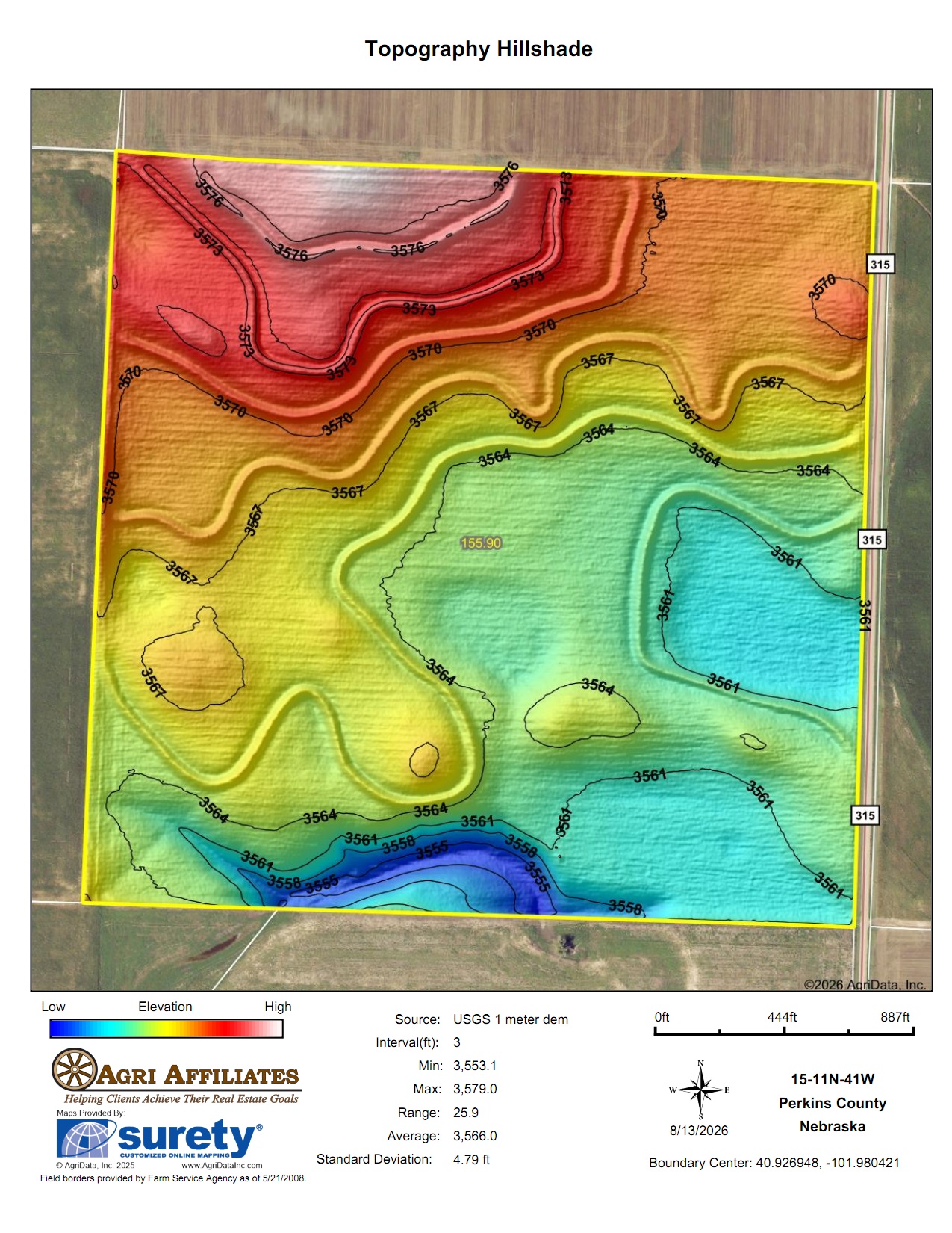
Parcel 4: NE¼ Section 15-T11N-R41 West of the 6th P.M.
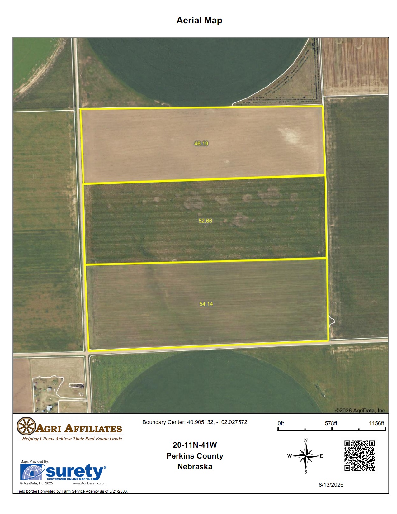
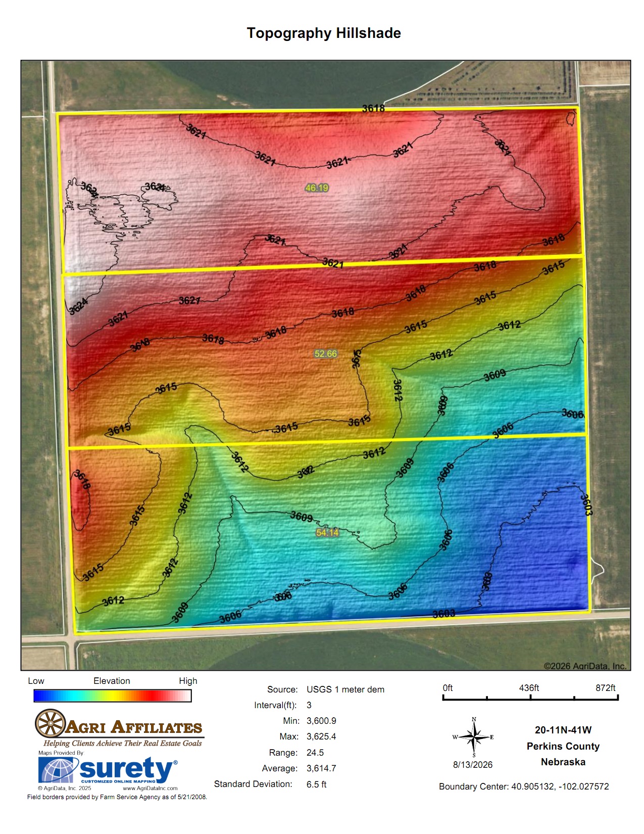
Parcel 5: SW¼ Section 20-T11N-R41 West of the 6th P.M.
ACRES & TAXES:
Parcel 1: 159± Tax-assessed acres2025 Real estate taxes due in 2026: $4,425.76
Parcel 2: 240.88± Tax-assessed acres
2025 Real estate taxes due in 2026: To be determined after survey
Parcel 3: 160.38± Tax-assessed acres
2025 Real estate taxes due in 2026: $1,195.66
Parcel 4: 158.44± Tax-assessed acres
2025 Real estate taxes due in 2026: $1,194.64
Parcel 5: 159.67± Tax-assessed acres
2025 Real estate taxes due in 2026: $1,233.70
LAND USE:
Parcel 1: 123.10 acres Irrigated Cropland30.01 acres Dry Cropland
Parcel 2: 129.70 acres Irrigated Cropland
111.18 acres Dry Cropland
Parcel 3: 155.69 acres Dry Cropland
3.79 acres Site
Parcel 4: 155.90 acres Dry Cropland
Parcel 5: 153.50 acres Dry Cropland
All estimated as certified with FSA
WATER RIGHTS:
Parcel 1: Well registration #G-043740 with 126.40 CIA with 150.41” remaining at the end of 2025Parcel 2: Well registration #G-030763 with 119.60 CIA with 150.41” remaining at the end of 2025
NRD:
Upper Republican Natural Resources DistrictEQUIPMENT:
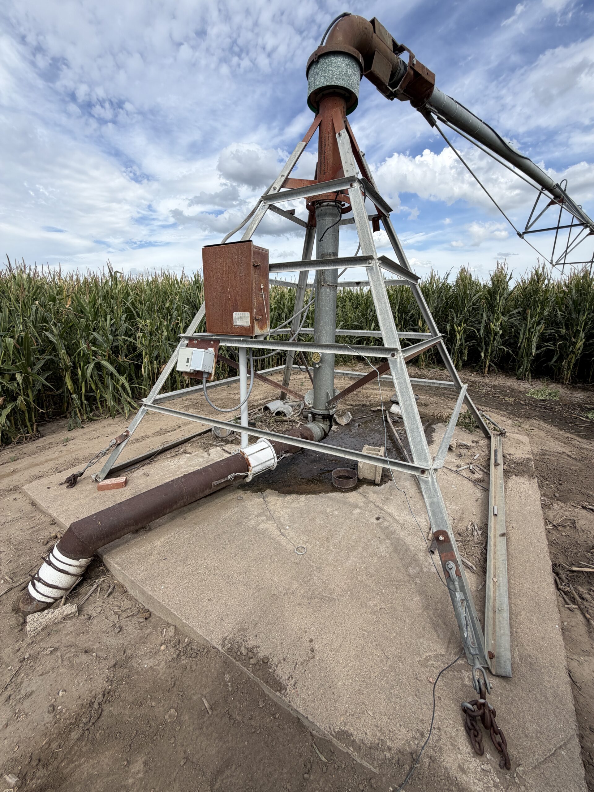
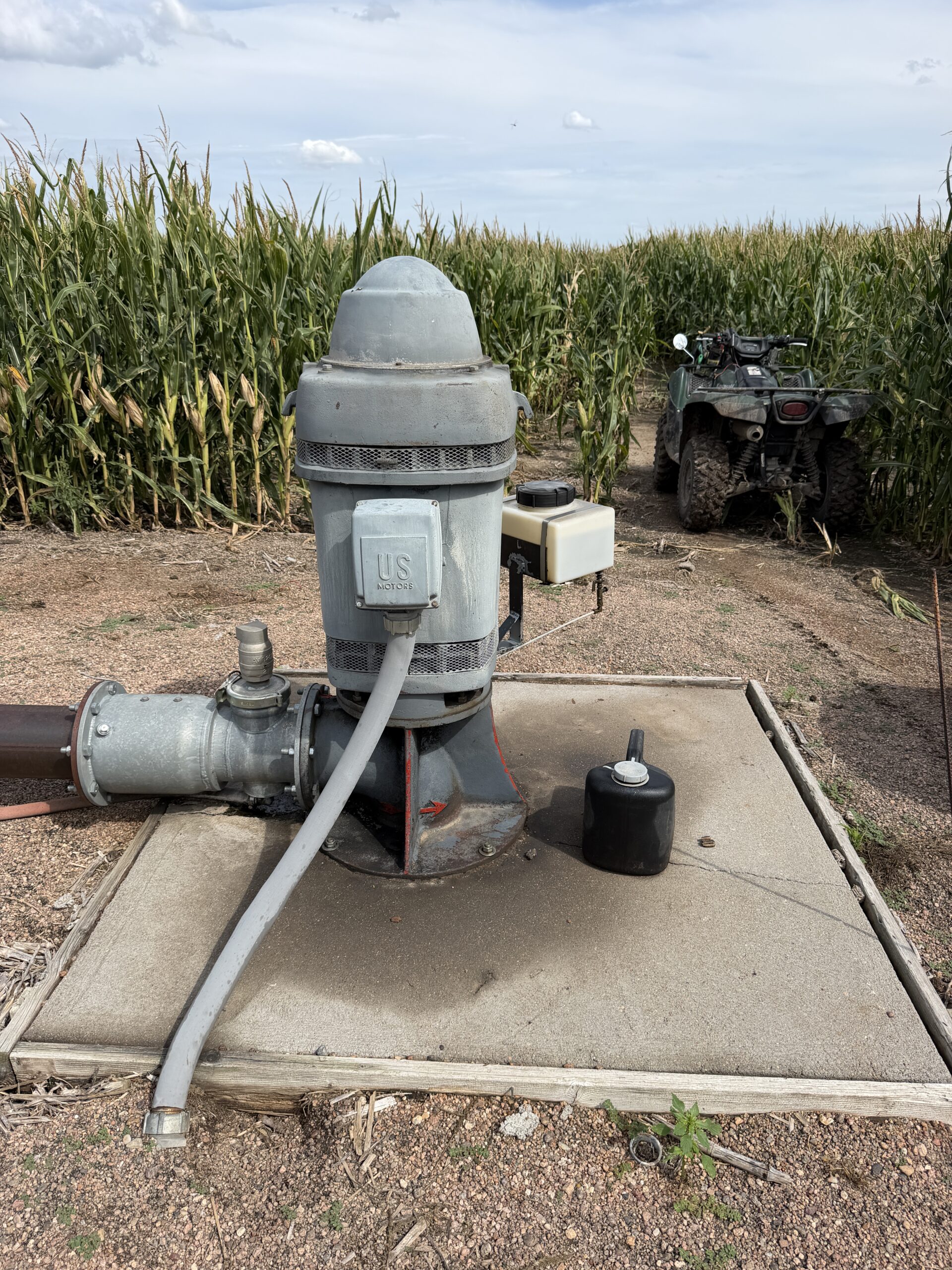
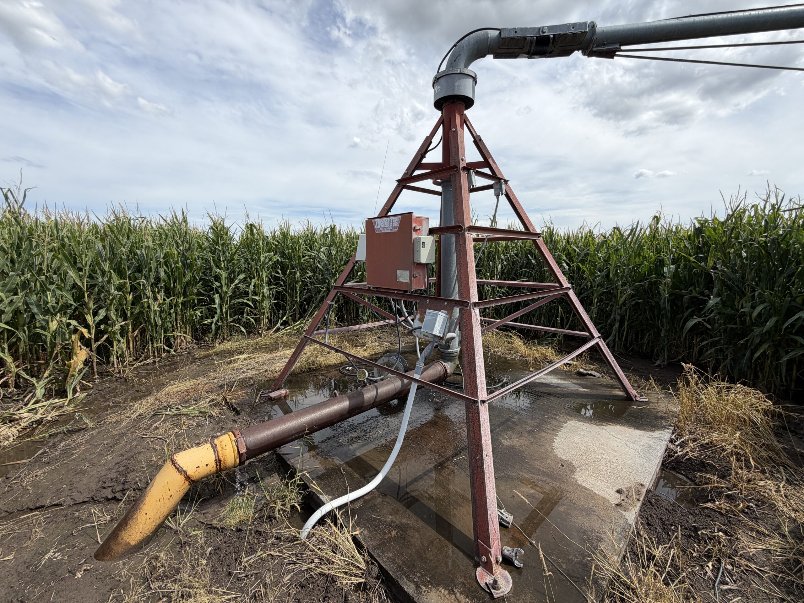
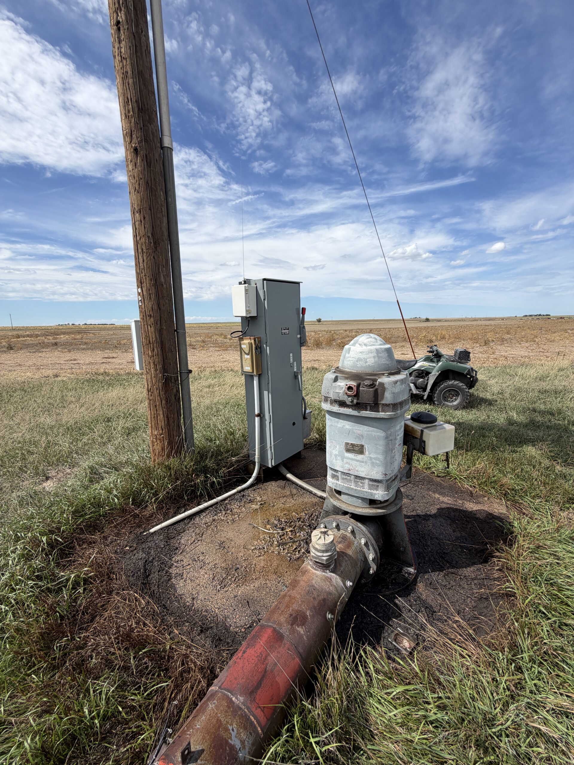
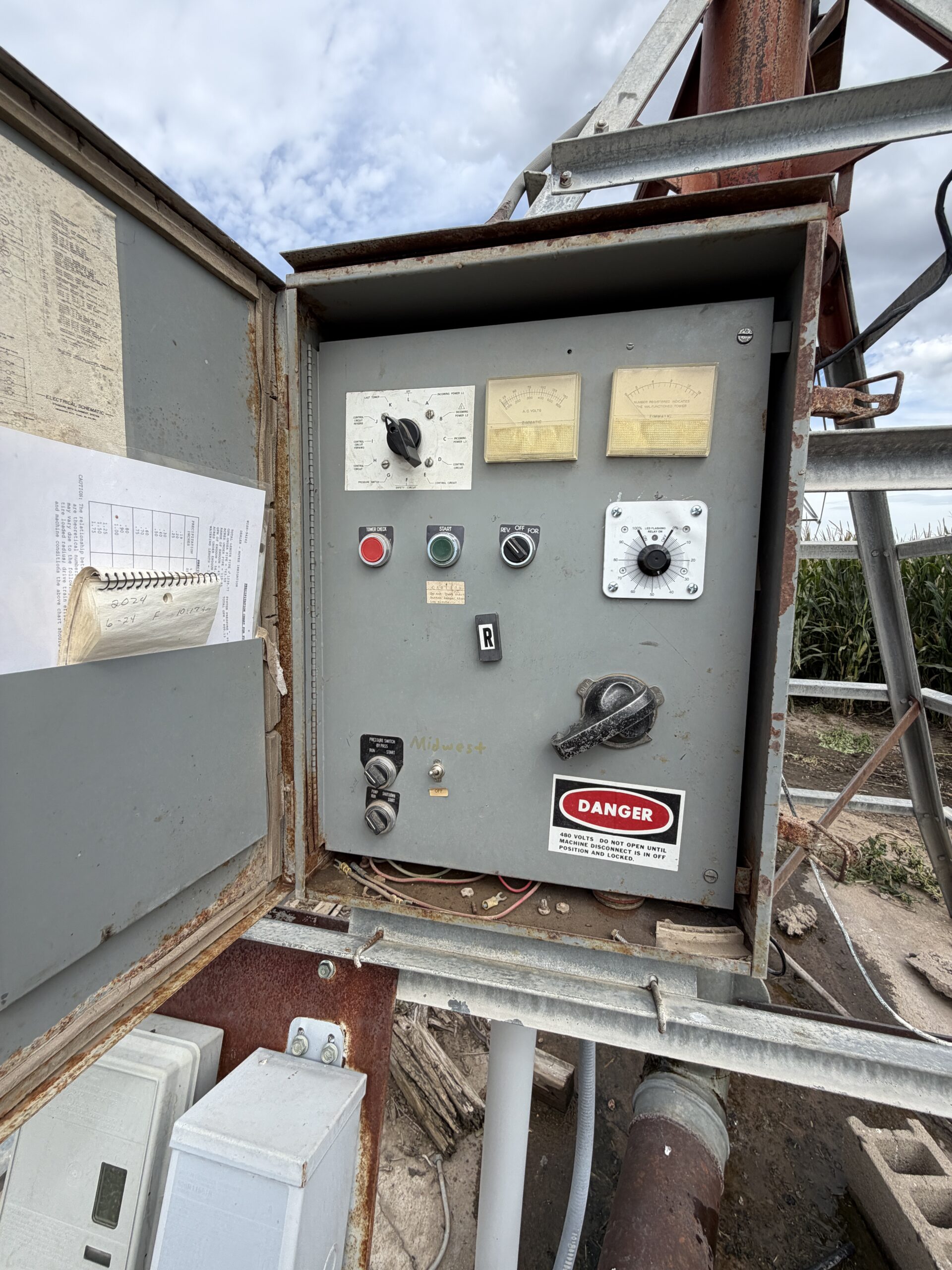
Parcel 1: 125 HP US Electric Motor7-Tower Electric Zimmatic Pivot, Serial #L05713
Parcel 2: 125 HP US Electric Motor
7-Tower Electric Zimmatic Pivot, Serial #L17983
FARM SERVICE AGENCY INFO:
Parcel 1: 153.11 total cropland acres with 40.47 acres corn base @ 150 bu PLC yield and 49.91 acres wheat base @ 39 bu PLC yieldParcel 2: 421.75 total cropland acres with 111.48 acres corn base @ 150 bu PLC yield and 137.47 acres wheat base @ 39 bu PLC yield
Tract includes base acres from other legal descriptions. To be split on owner designation.
Parcel 3: 155.69 total cropland acres with 41.15 acres corn base @ 150 bu PLC yield and 50.74 acres wheat base @ 39 bu PLC yield
Parcel 4: 421.75 total cropland acres with 111.48 acres corn base @ 150 bu PLC yield and 137.47 acres wheat base @ 39 bu PLC yield
Tract includes base acres from other legal descriptions. To be split on owner designation.
Parcel 5: 153.5 total cropland acres with 40.56 acres corn base @ 150 bu PLC yield and 50.02 acres wheat base @ 39 bu PLC yield
POSSESSION:
Full possession at closingProperty Maps
Click thumbnail to open a full size image.