
Description:
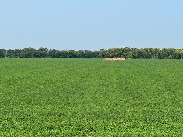
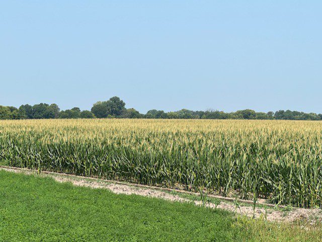
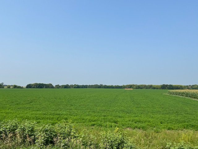
Dawson County assessor indicates a total of 149.94 tax-assessed acres. The farm consists of good quality, gravity irrigated cropland.
Location:
2 miles north and 2 miles west of Lexington on Road 759. (Bordered on the north by Road 759 and on the east by Road 431)
Legal Description:
NE1/4 except a tract in the northeast corner, Section 23, T10N-R22W of the 6th PM, Dawson County, Nebraska
2023 Real Estate Taxes
$8,279.90Farm Service Agency Information
Total cropland 136.18 acresGovernment Base acres Corn 91.5 acres w/ PLC Yield of 189 bu/acre
Grain Sorghum 3.7 acres w/ PLC Yield of 52 bu/acre
All cropland is considered non-highly erodible by the NRCS
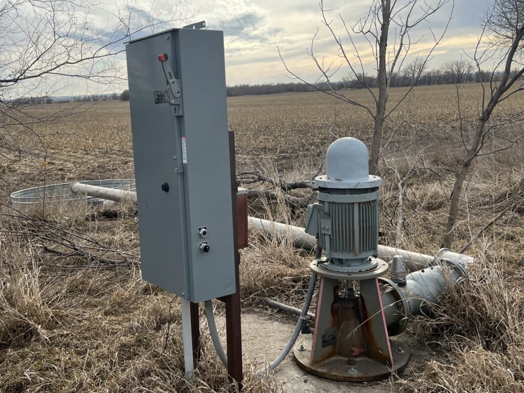
Irrigation Information
The farm is located in the Central Platte Natural Resources District and contains a total of 136.34 certified irrigated acres.Well Information
Northeast WellWell Registration: A-0005231A
Completion Date: 07/10/1948 @ 1,100gpm
Well Depth: 66’
Static Water Level: 22’
Pumping Level: 32’
Column: 8”
Pump – Western Land Roller
Power Unit – General Electric 15hp electric motor
Control Panel – WellGuard
Northwest Well
Well Registration: A-0005231B
Completion Date: 07/16/1983 @ 1,200gpm
Well Depth: 215’
Static Water Level: 12’
Pumping Level: 80’
Column: 8”
Pump – Western Land Roller
Power Unit – General Electric 30hp electric motor
Control Panel – WellGuard
Comments
Property sells subject to a 2024 cash farm lease.Property Maps
Click thumbnail to open a full size image.


