Description:
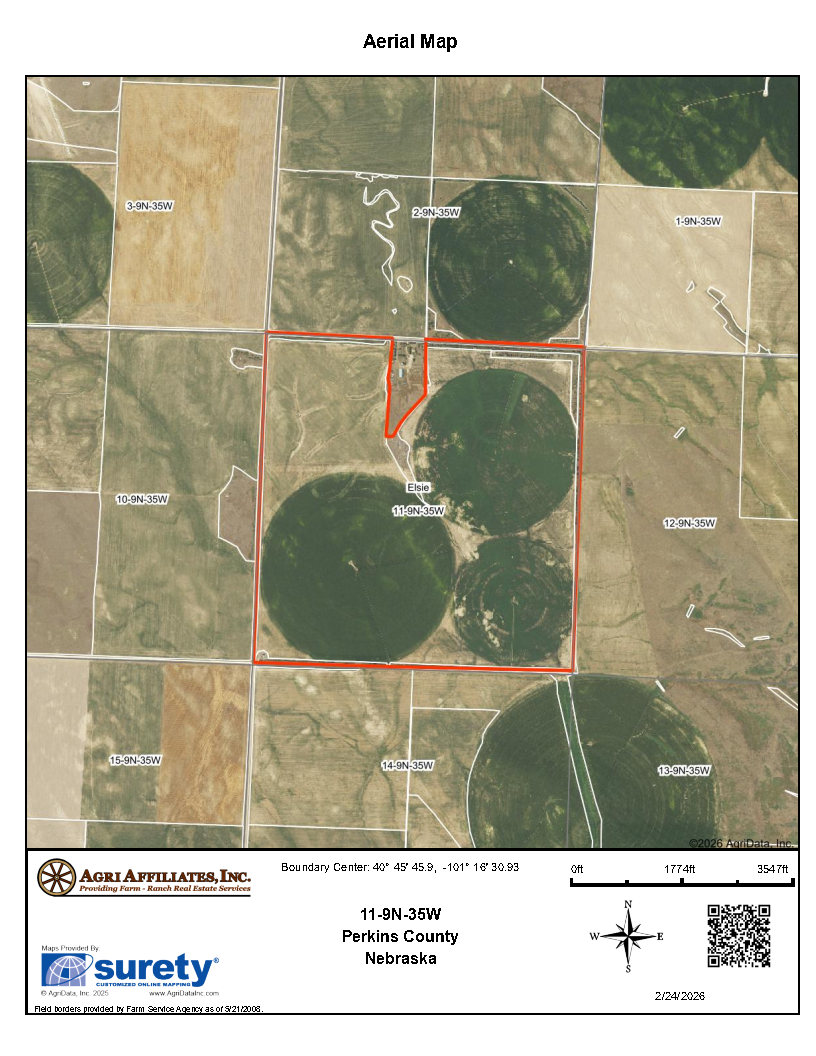
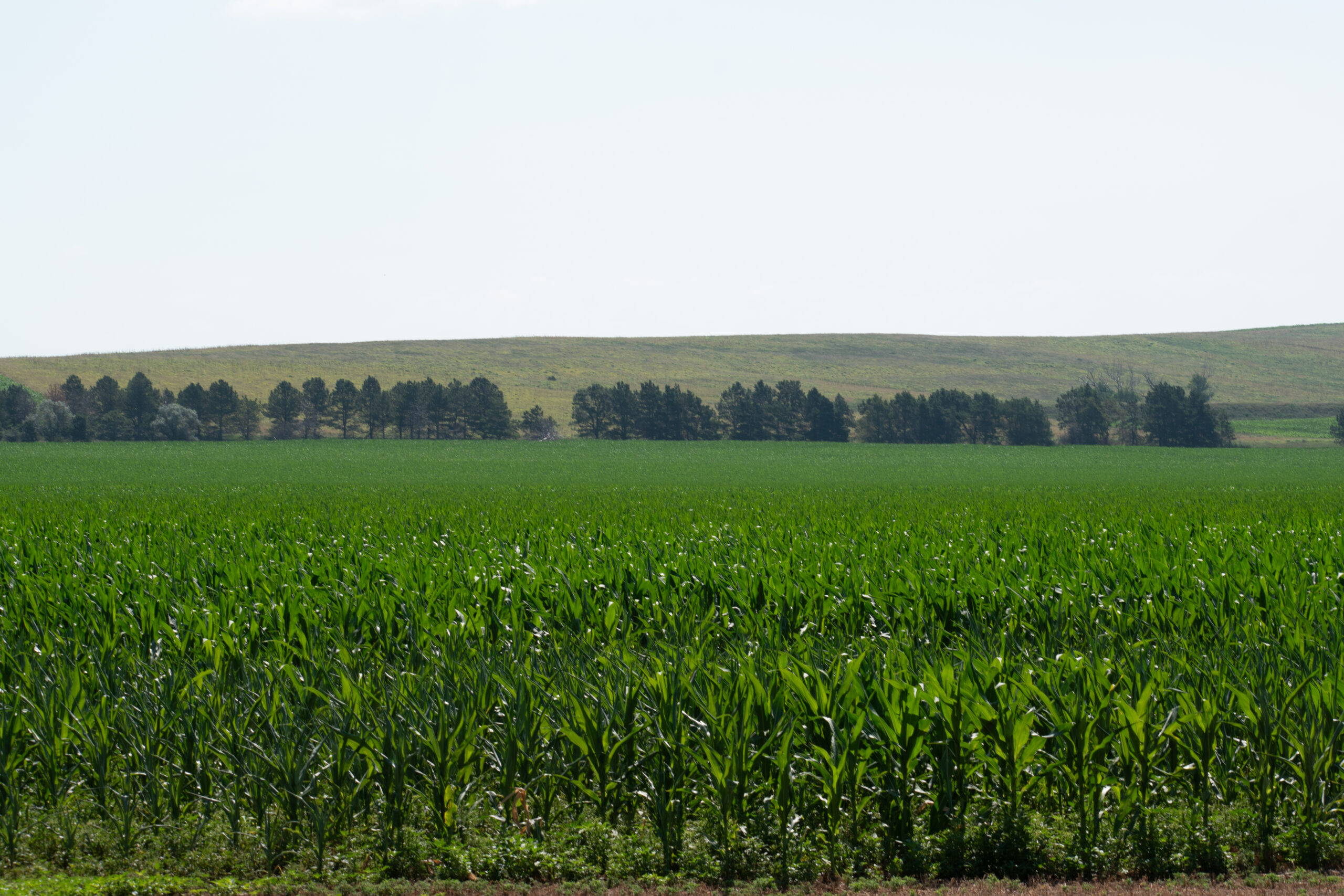
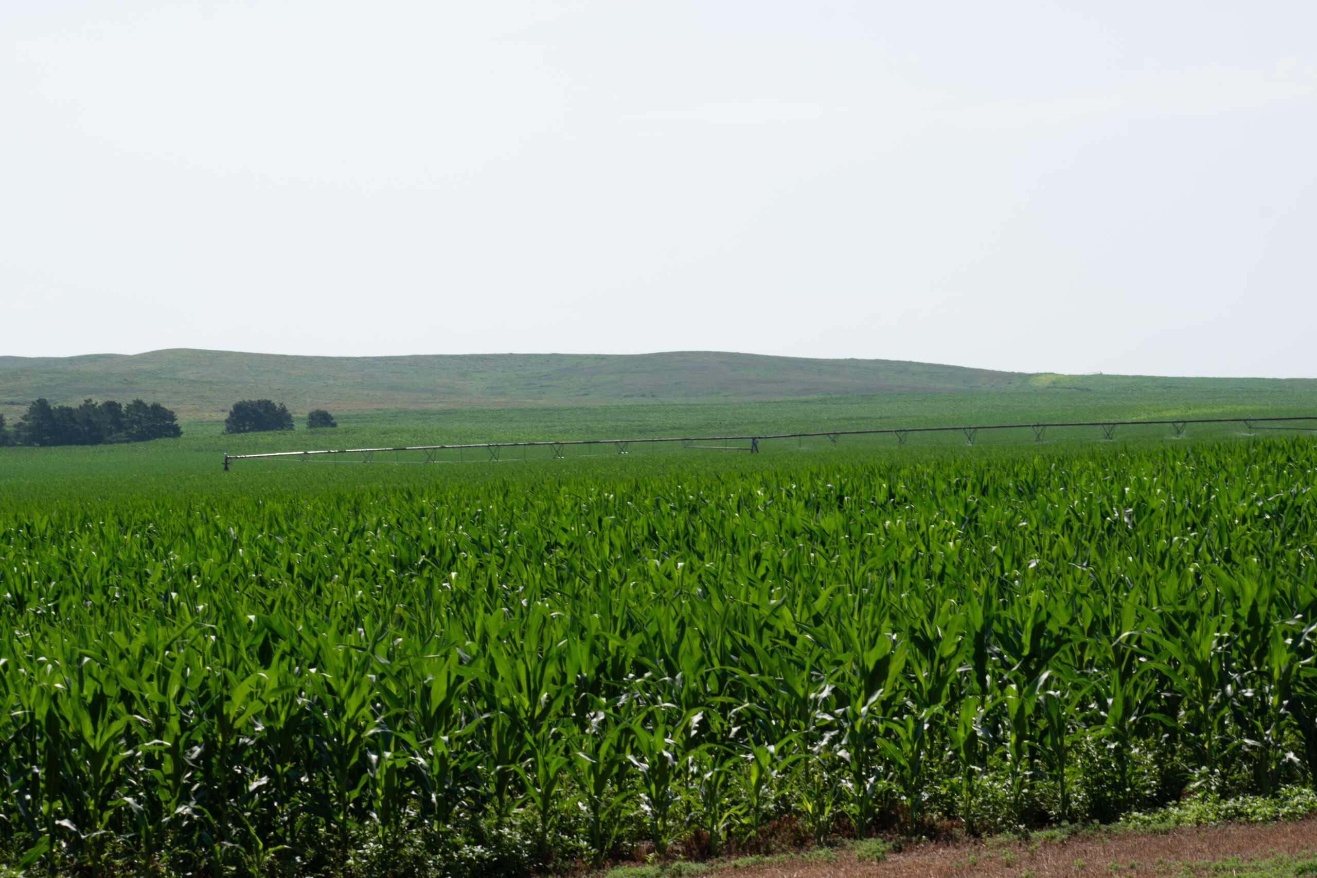
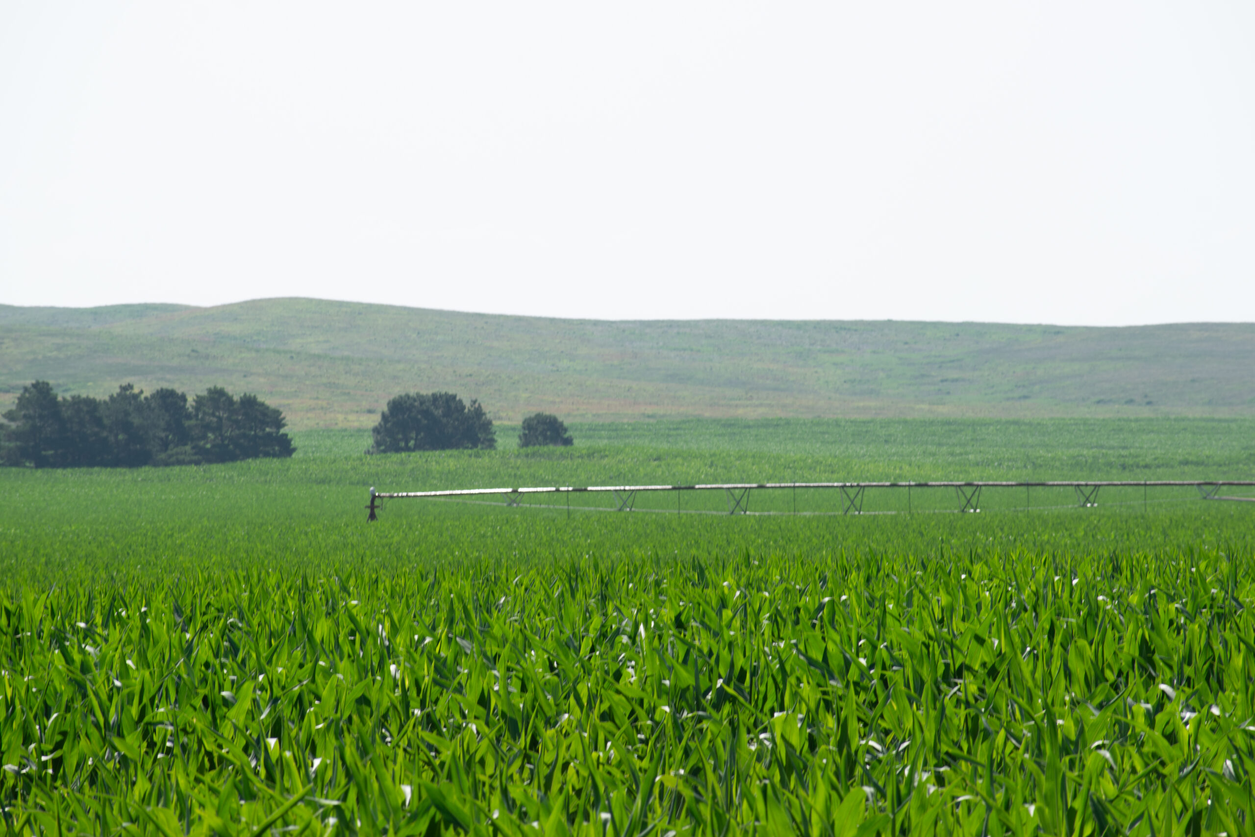
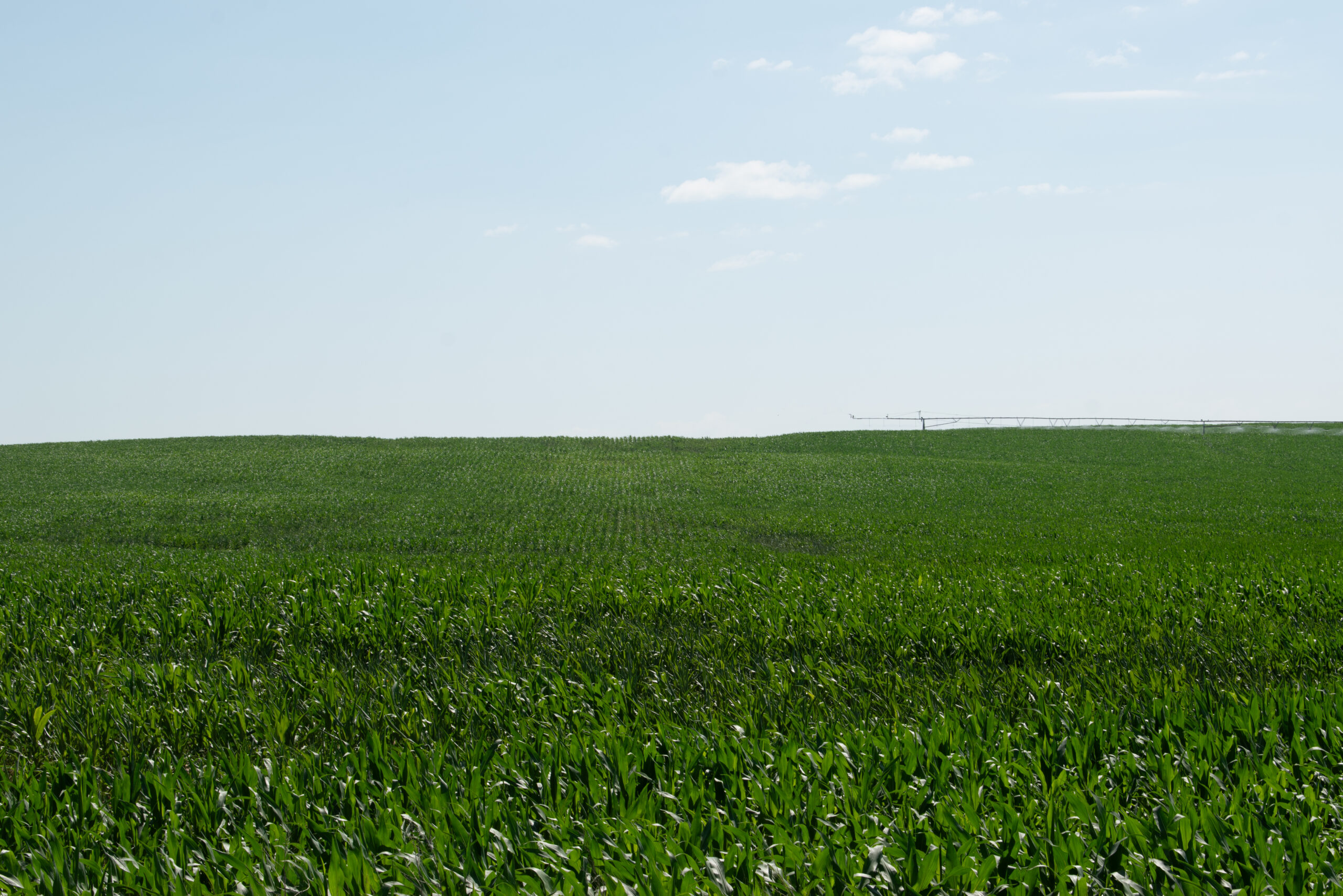
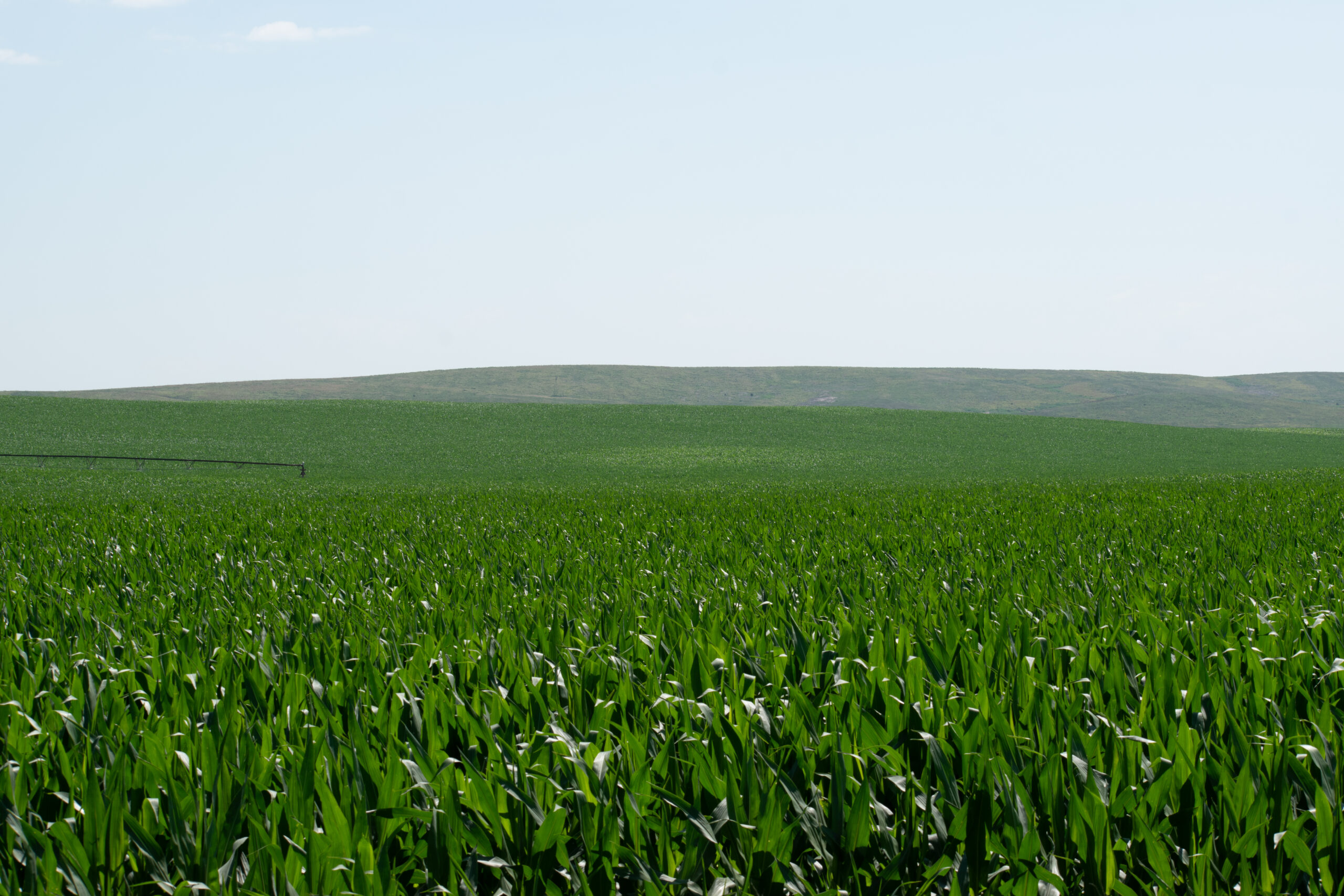
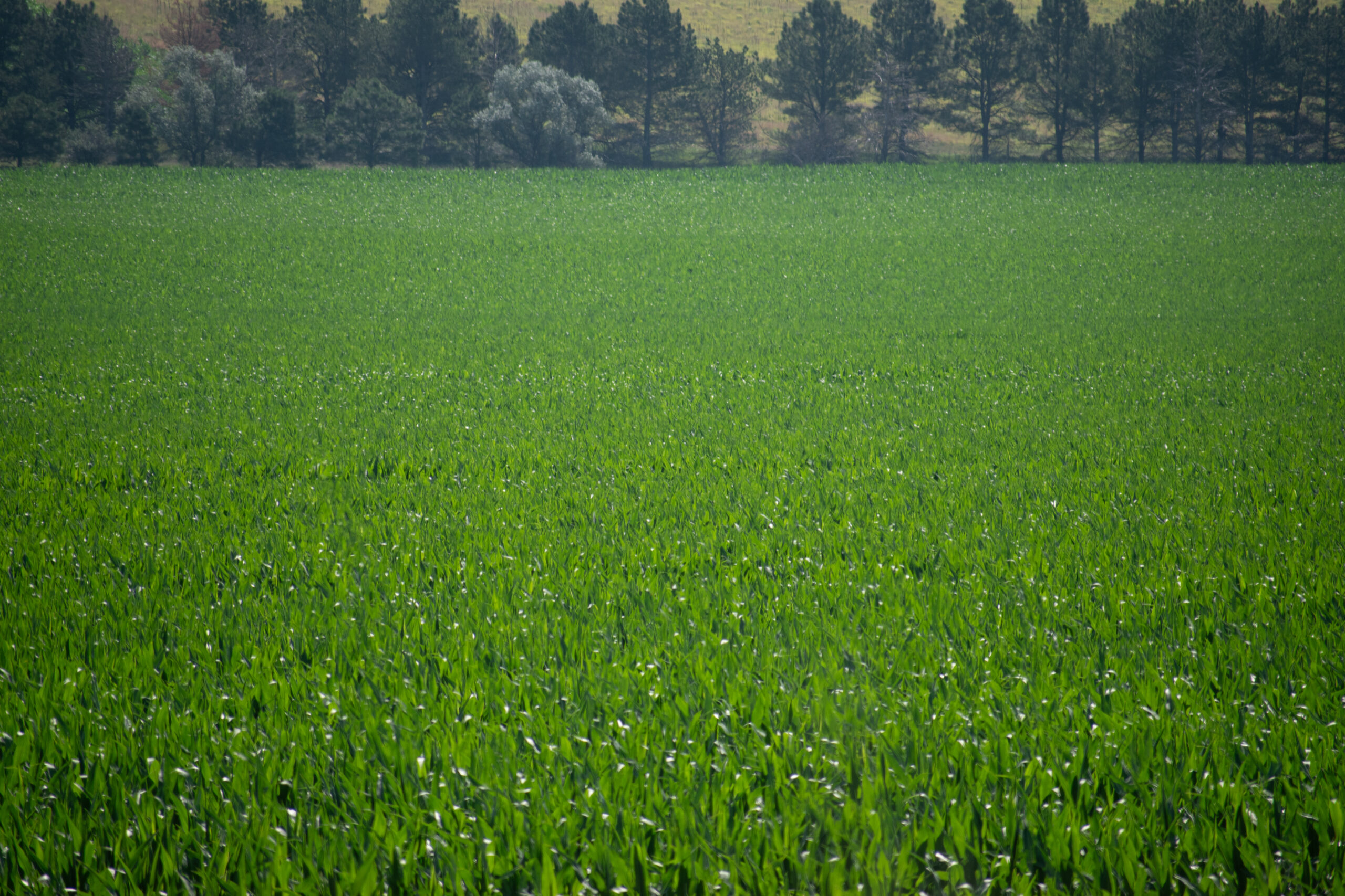
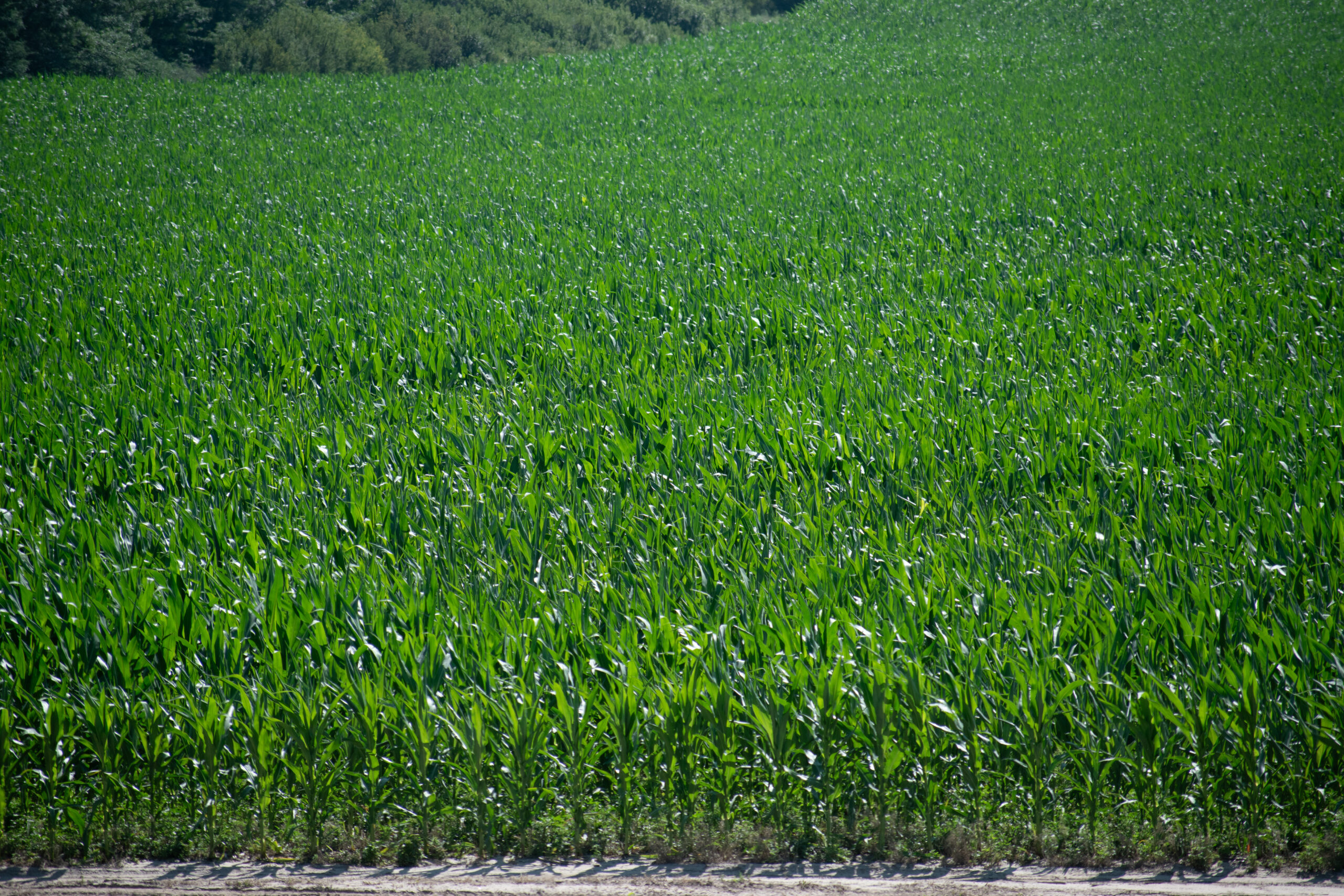
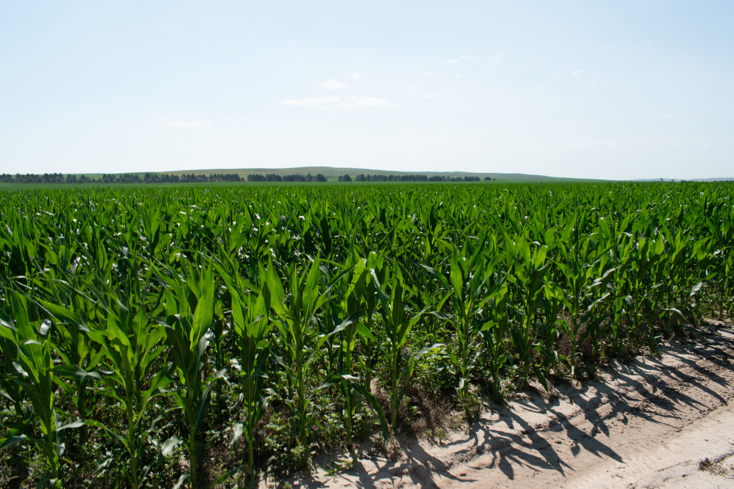
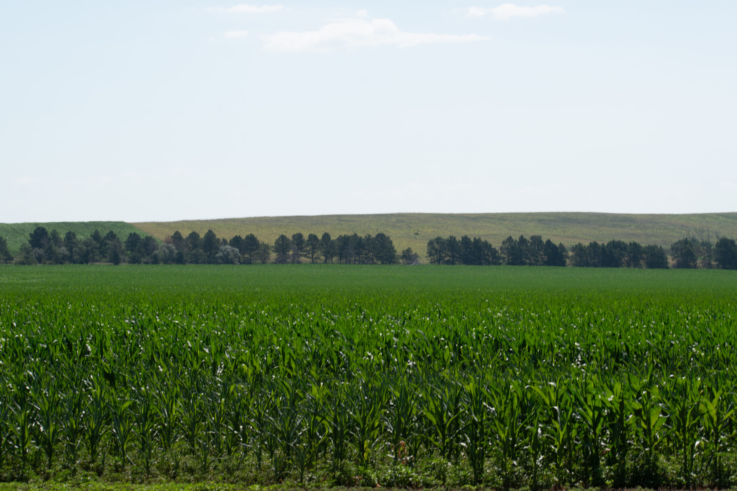
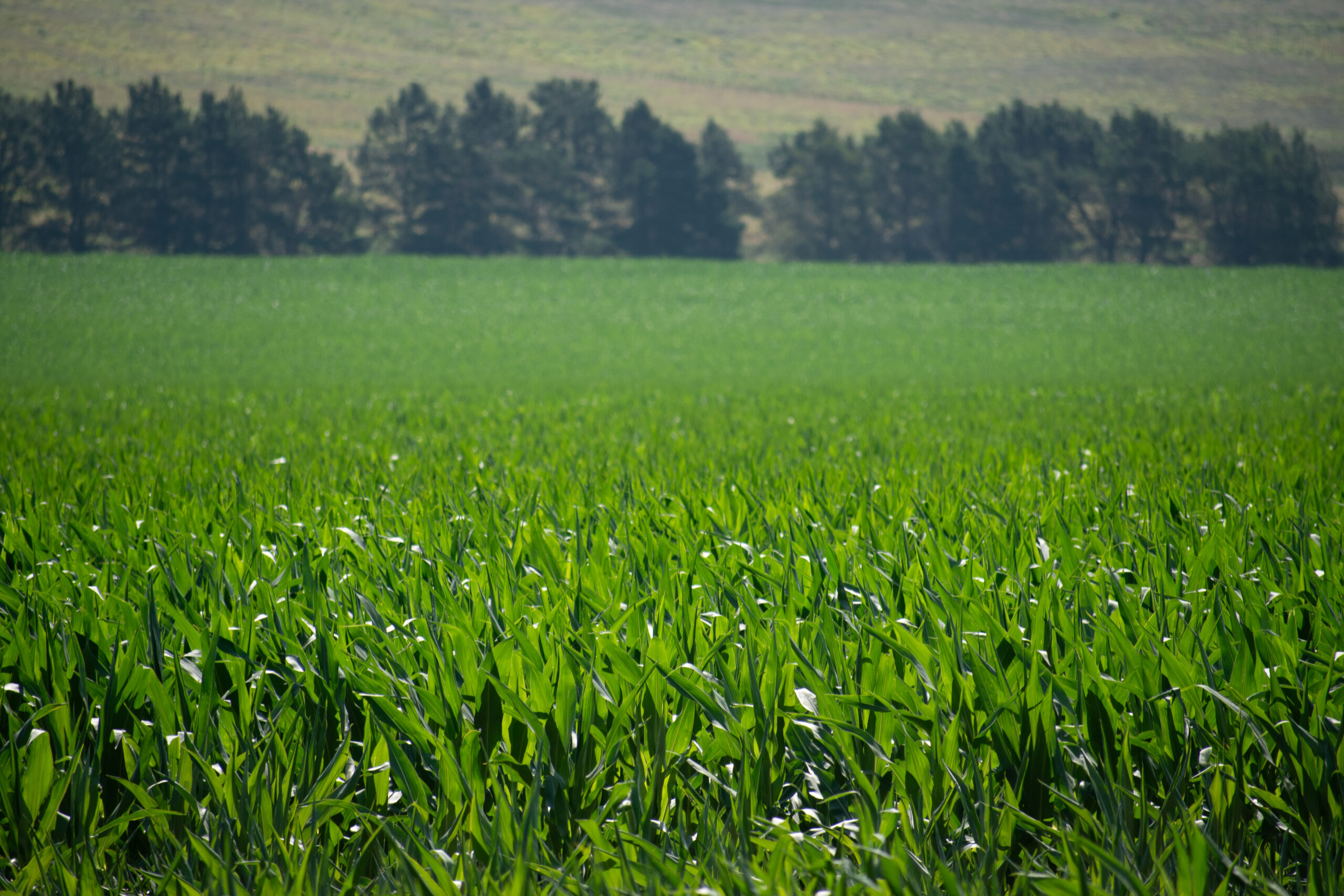
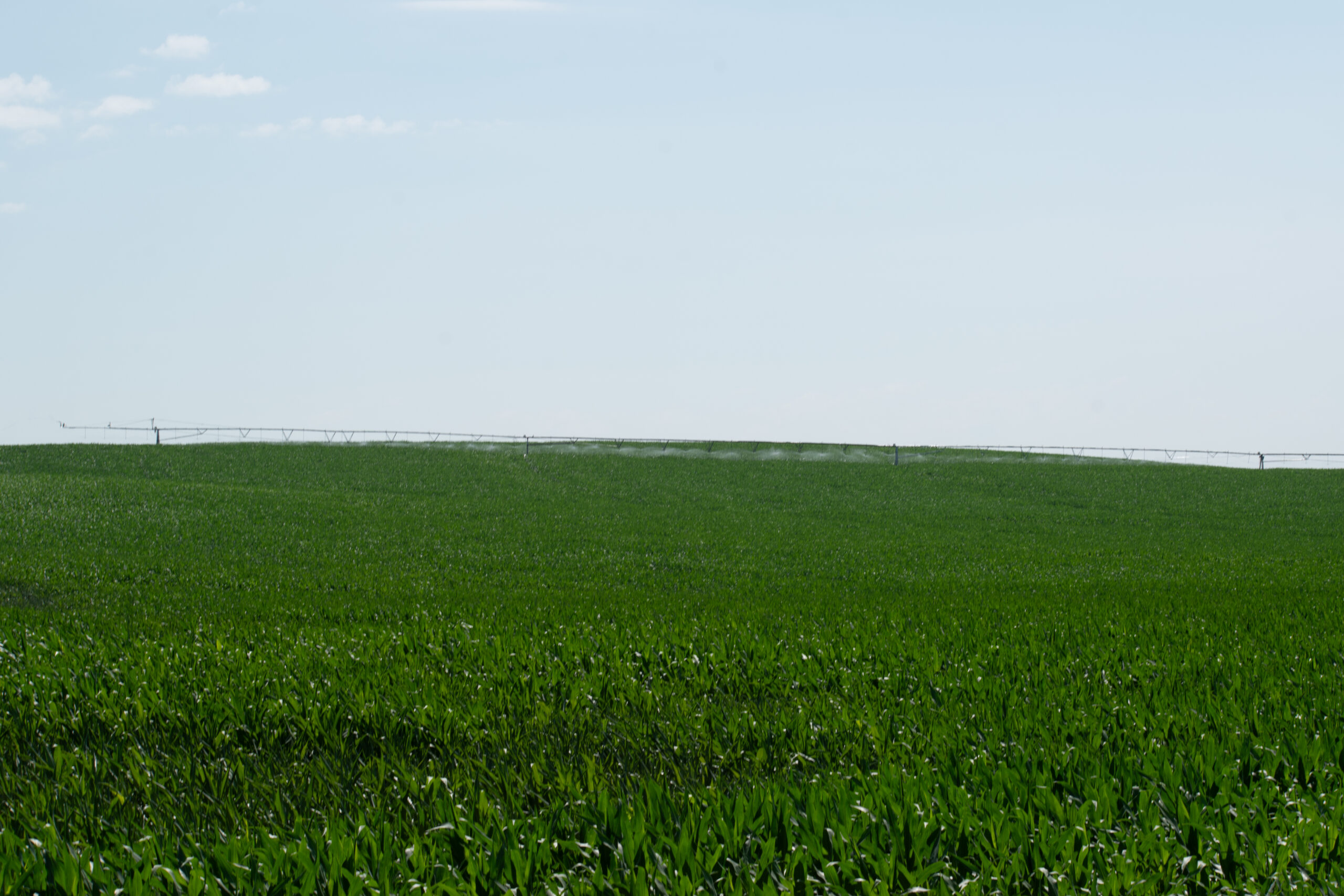
Prime irrigated cropland featuring three full-circle pivots, situated in a strong farming community with convenient access just 3¾ miles south of Grainton.
Location:
Located 3¾ miles south of Grainton, Nebraska on Road 351 to the northwest corner of the property. Access is via Road 351 on the west, Road 755 on the north or Road 754 on the south. Approximately 10½ miles southwest of Wallace or 10 miles southeast of Elsie, Nebraska.
Legal Description:
All of Section 11, except for a tract of land in the N½ 16.59 acres (Survey Project #21-134), Township 9 North, Range 35 West of the 6th P.M. in Perkins County, Nebraska.
ACRES AND TAXES:
603.61± estimated acresEstimated real estate taxes: $18,419.39
APPROXIMATE LAND USE:
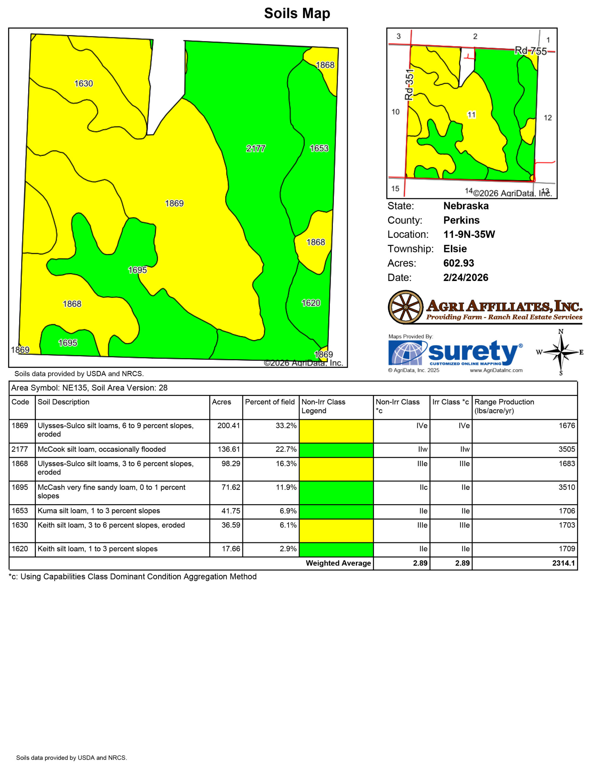
397.70 ac. Irrigated Cropland172.97 ac. Dry Cropland
24.67 ac. Tree/Shelter Belt
8.27 ac. Roads/Waste
CERTIFIED IRRIGATED ACRES:
397.70 total certified irrigated acres in the Upper Republican Natural Resources DistrictUSDA-FSA INFORMATION:
567.39 total FSA cropland acres• 32.01 wheat base acres @ 37 PLC yield
• 373.77 corn base acres @ 118 PLC yield
WELL INFO:
G-019208• Completed: 1/1/1956
• Depth: 252 ft.
• Pumping Level: 135 ft.
• Gallons/Minute: 1,000 gpm
Converted to new submersible well in 2018
G-047593
• Completed: 10/25/1975
• Depth: 420 ft.
• Pumping Level: 135 ft.
• Gallons/Minute: 1,000 gpm
EQUIPMENT:
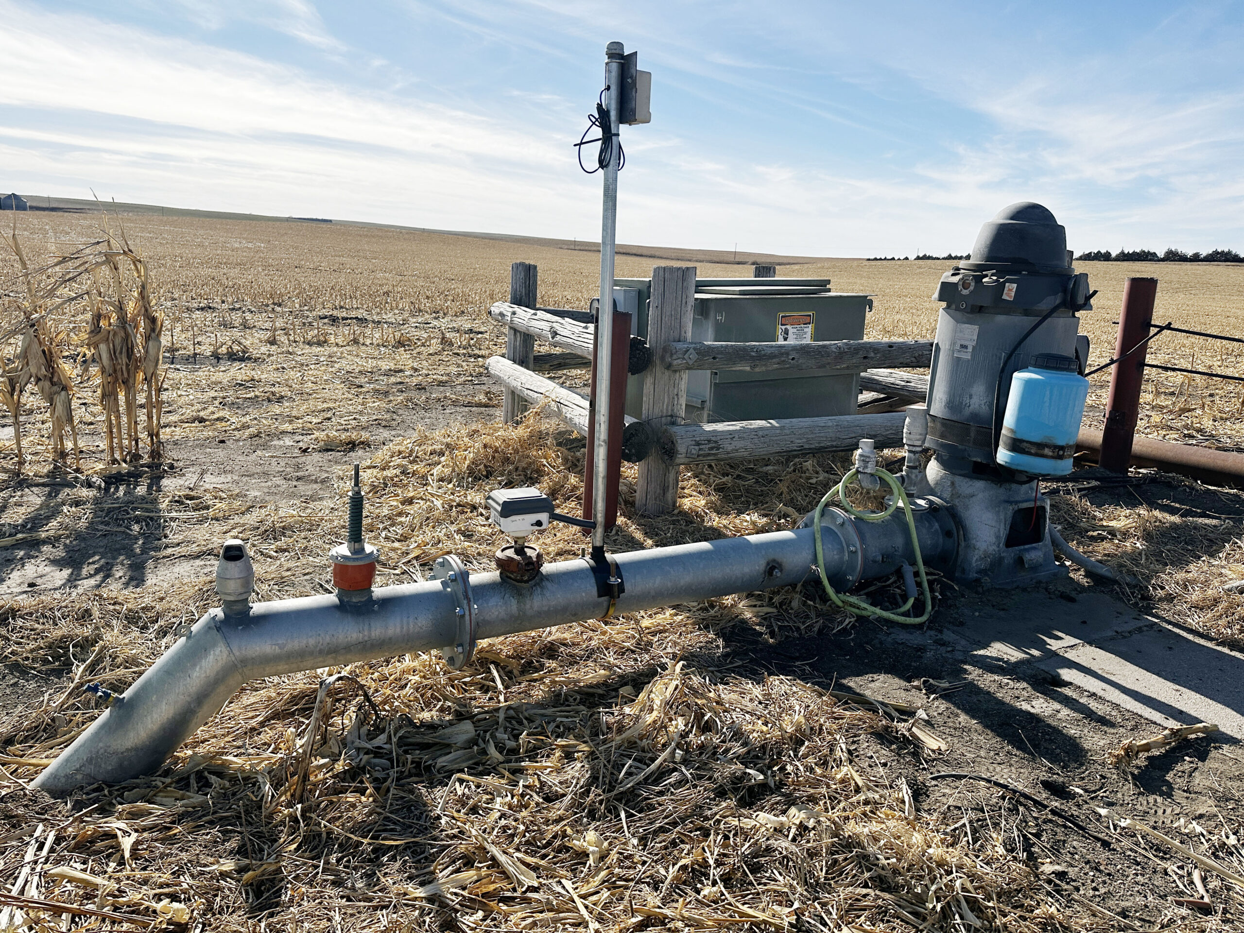
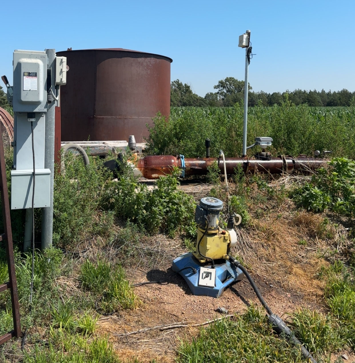
9-tower Reinke Electrogator center pivot, Sargent pump, 100hp US Electric Motor, pivot control panel (south electric well)6-tower Valley center pivot & Valley Icon 5 pivot panel (north submersible well)
8-tower Reinke Electrogator center pivot & Hitachi (north submersible well)
LEASE:
Farm lease in place, expiring Feb 28, 2027Property Maps
Click thumbnail to open a full size image.