
Description:
Pierce County Assessor indicates a total of 640.00 tax-assessed acres, which is offered in four separate parcels.
Location:
Located approximately six miles north and one-half mile east of Pierce, Nebraska. (Access is provided by Road 860, bordering the south, and Road 861, bordering the north.)
Legal Description:
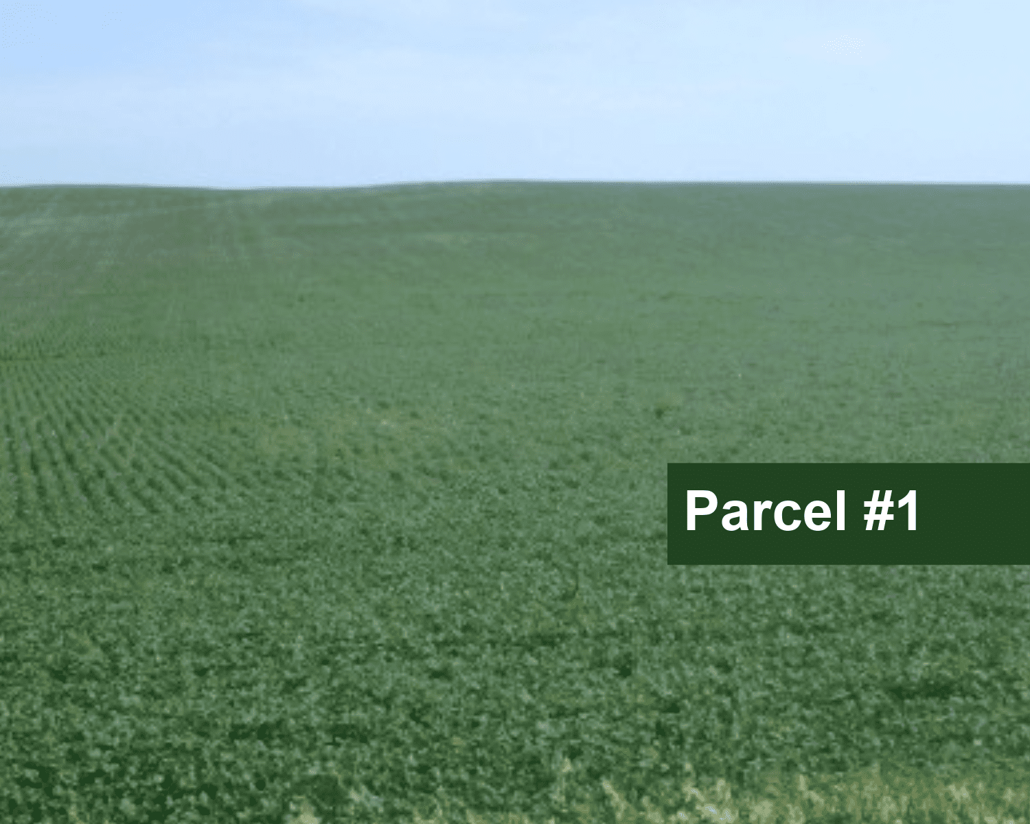
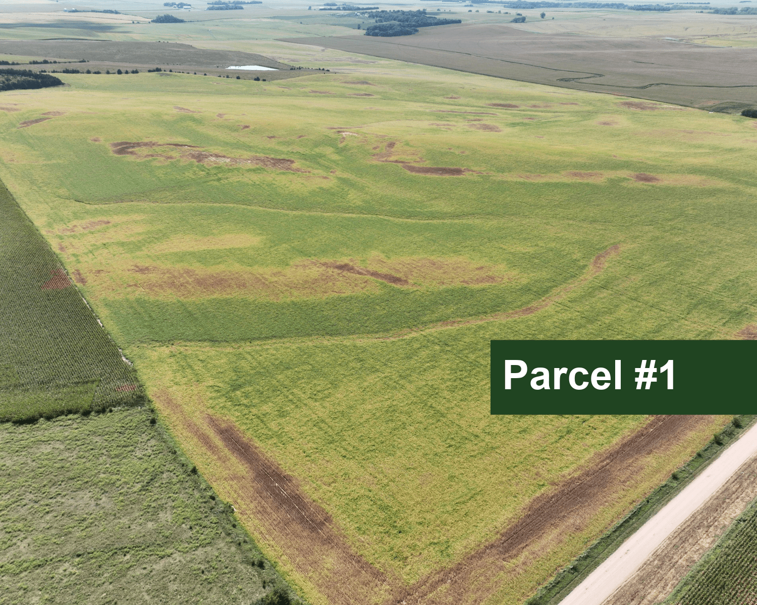
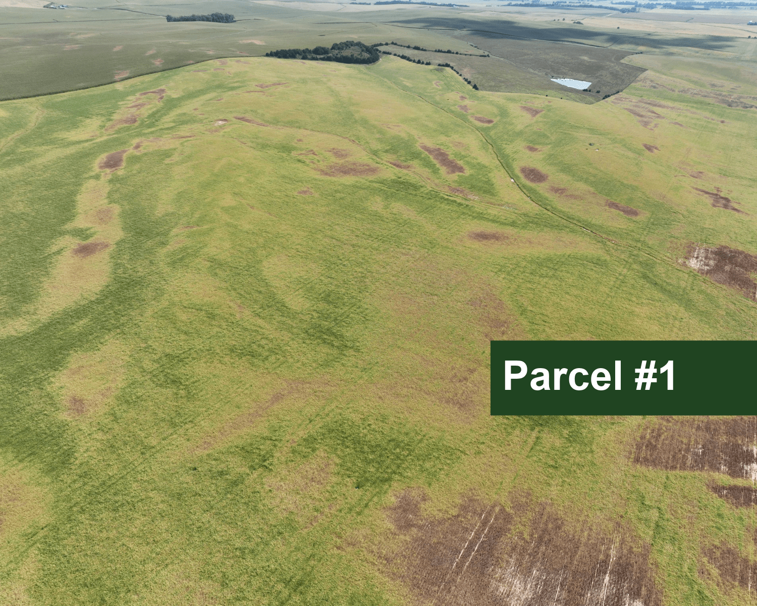
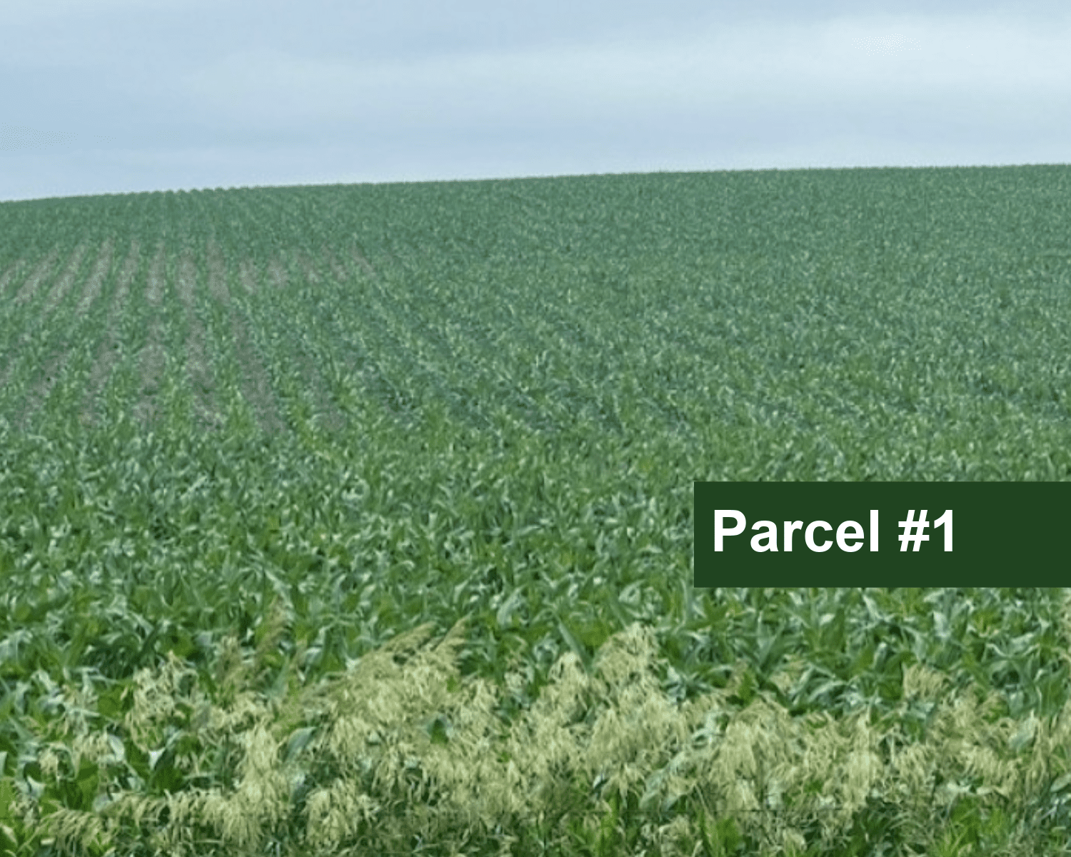
Parcel #1: NE1/4 Section 23, Township 27N, Range 2W of the 6th P.M., Pierce County, Nebraska.
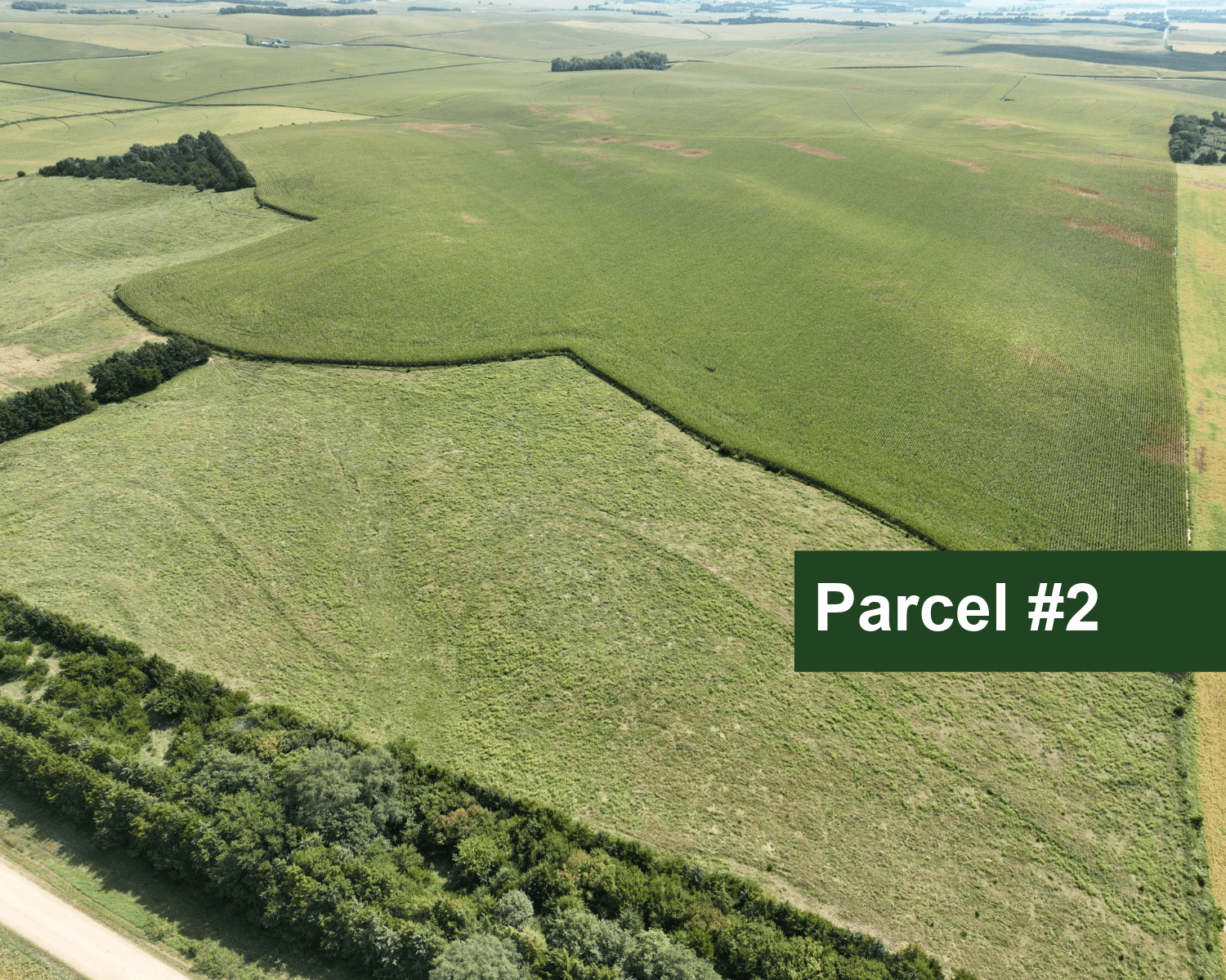
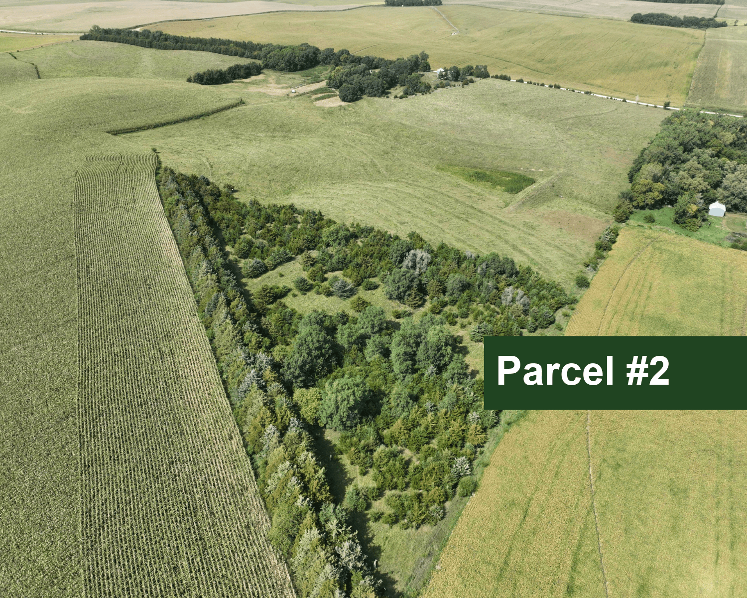
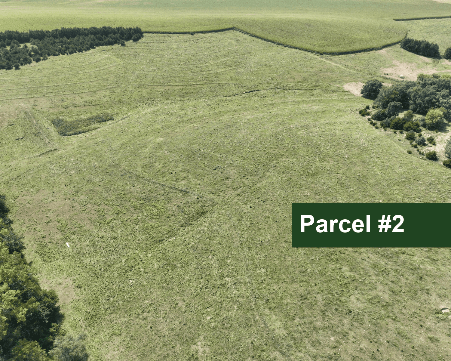
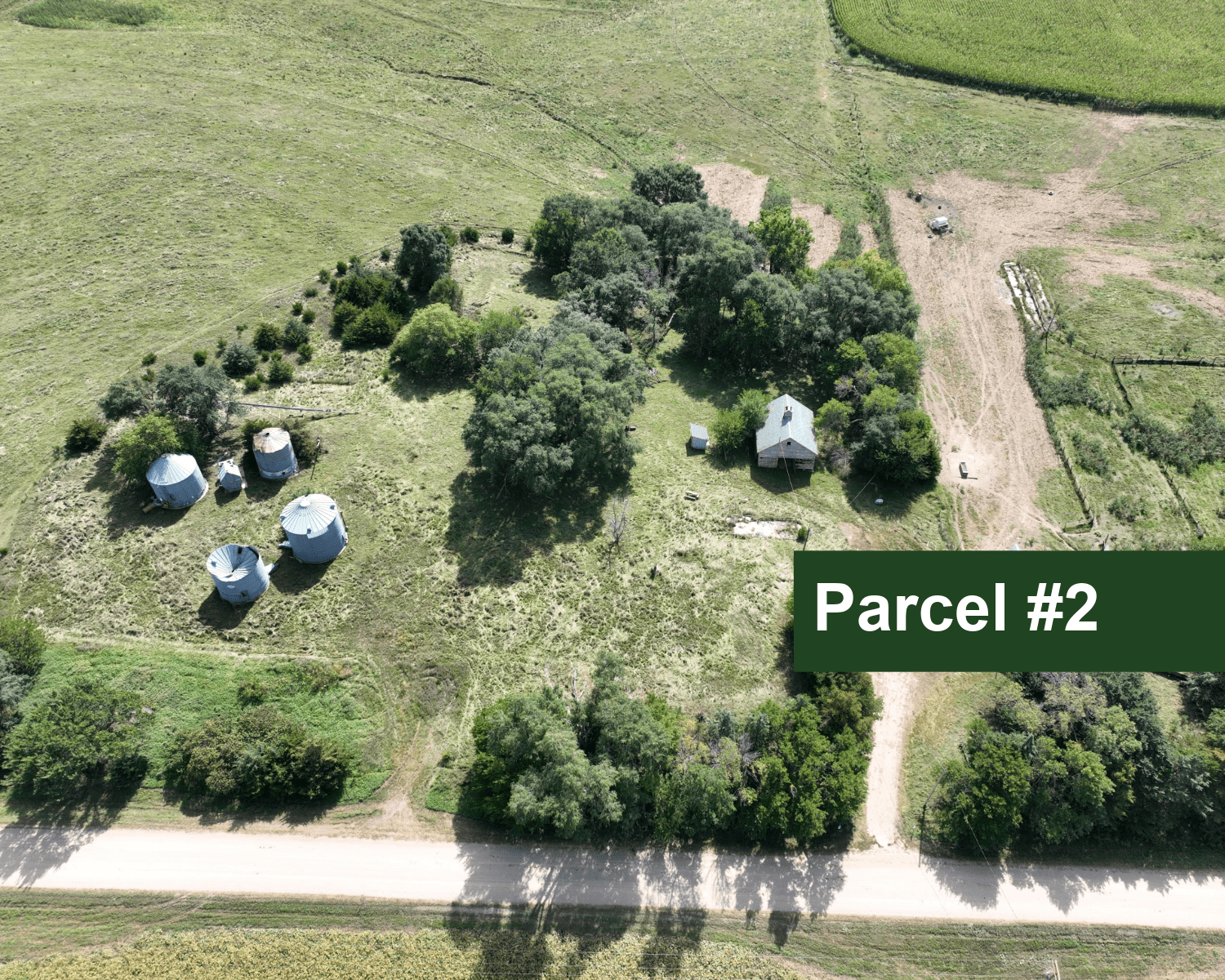
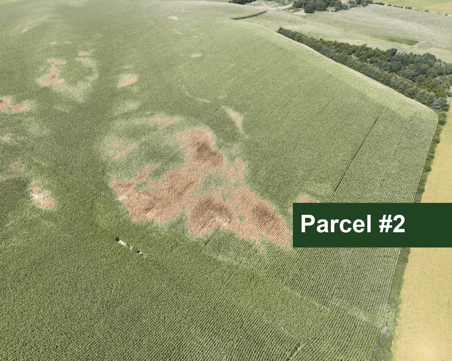
Parcel #2: NW1/4 Section 24, Township 27N, Range 2W of the 6th P.M., Pierce County, Nebraska.
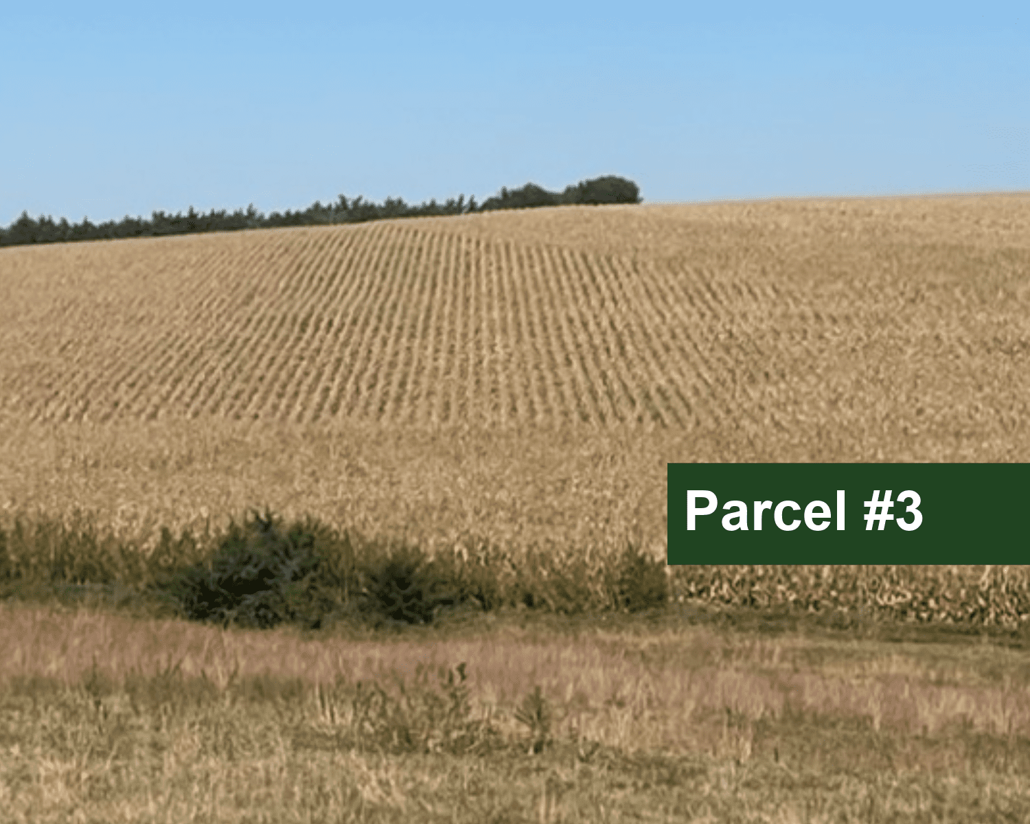
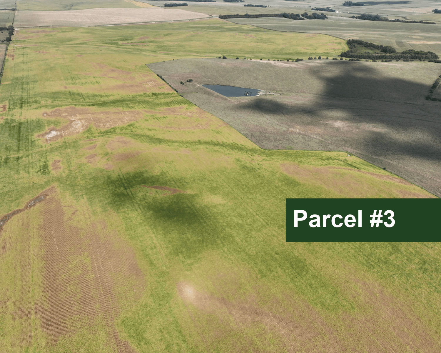
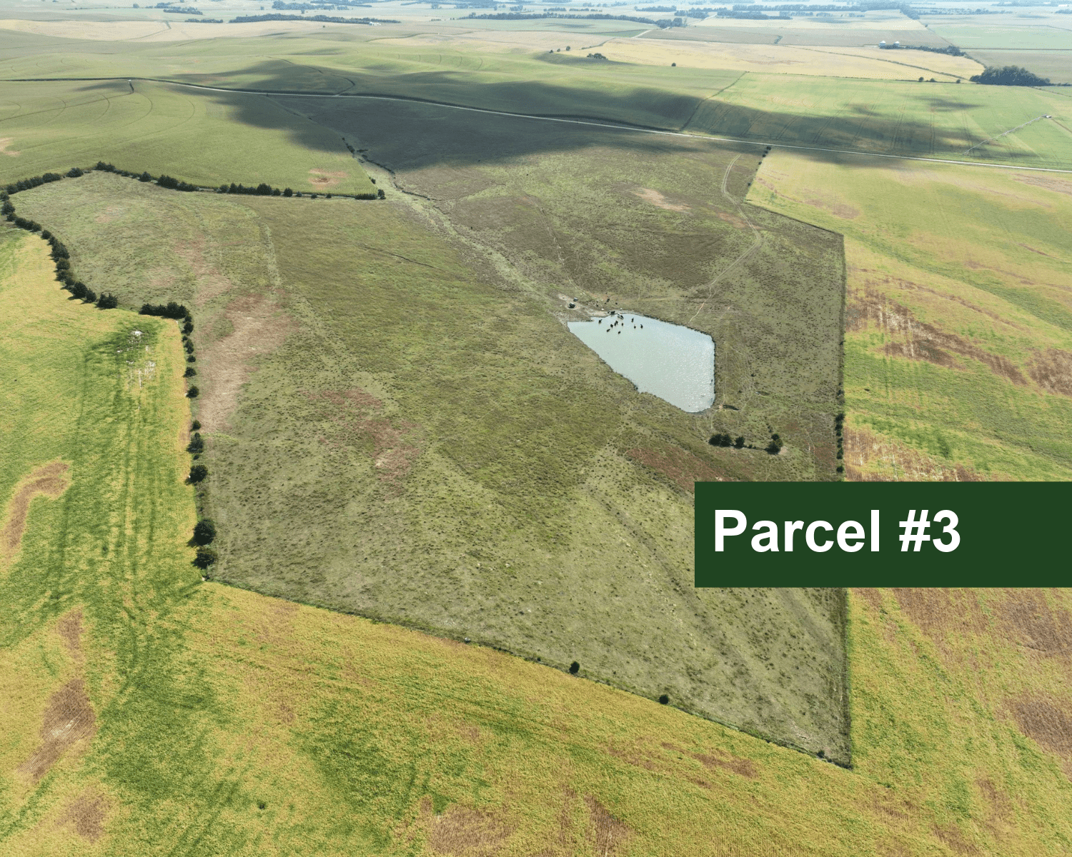
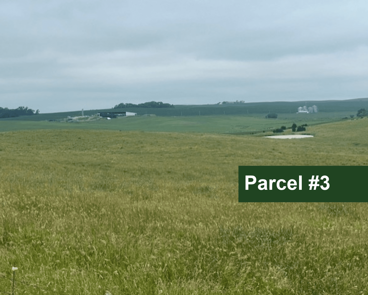
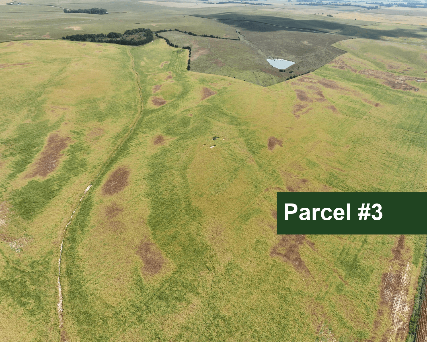
Parcel #3: SE1/4 Section 23, Township 27N, Range 2W of the 6th P.M., Pierce County, Nebraska.
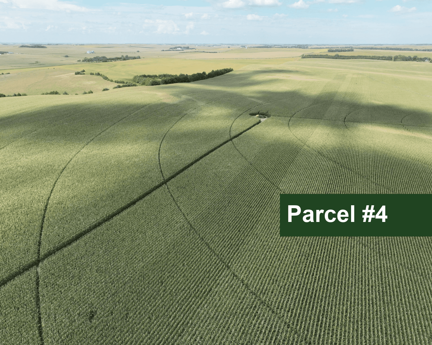
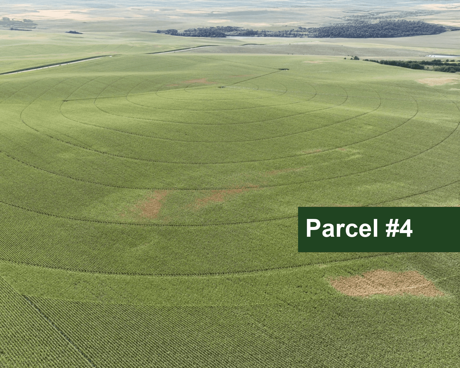
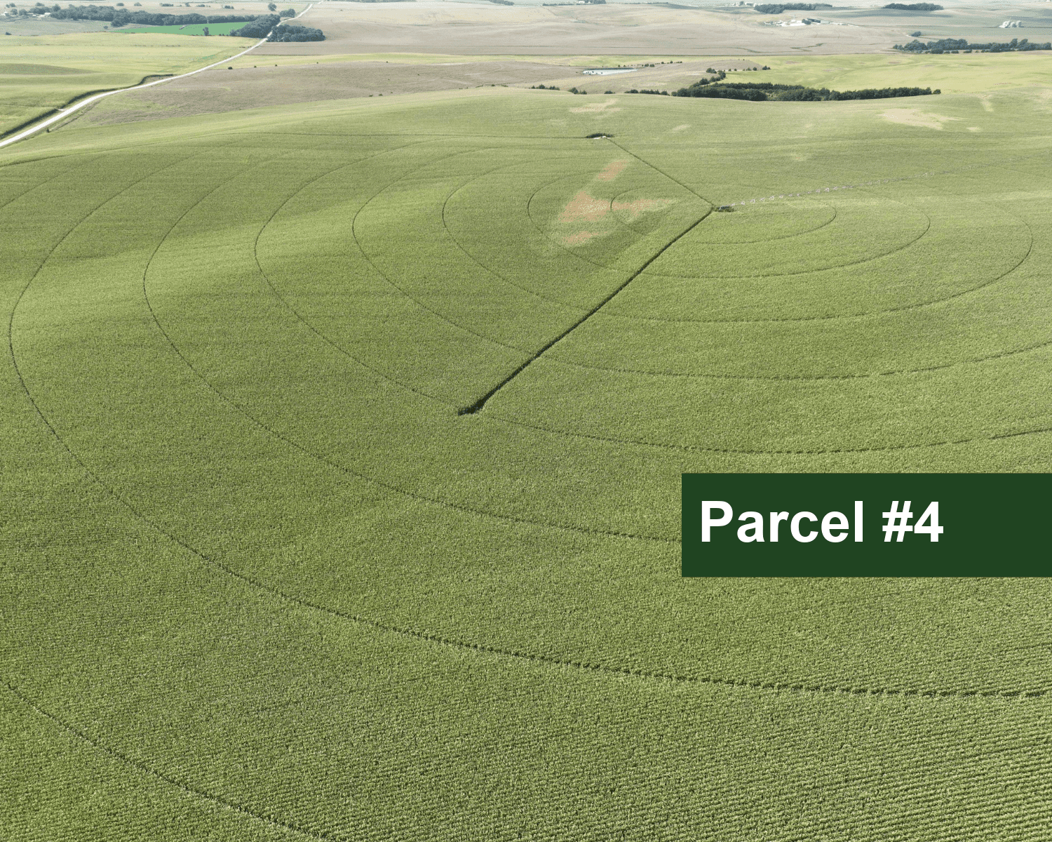
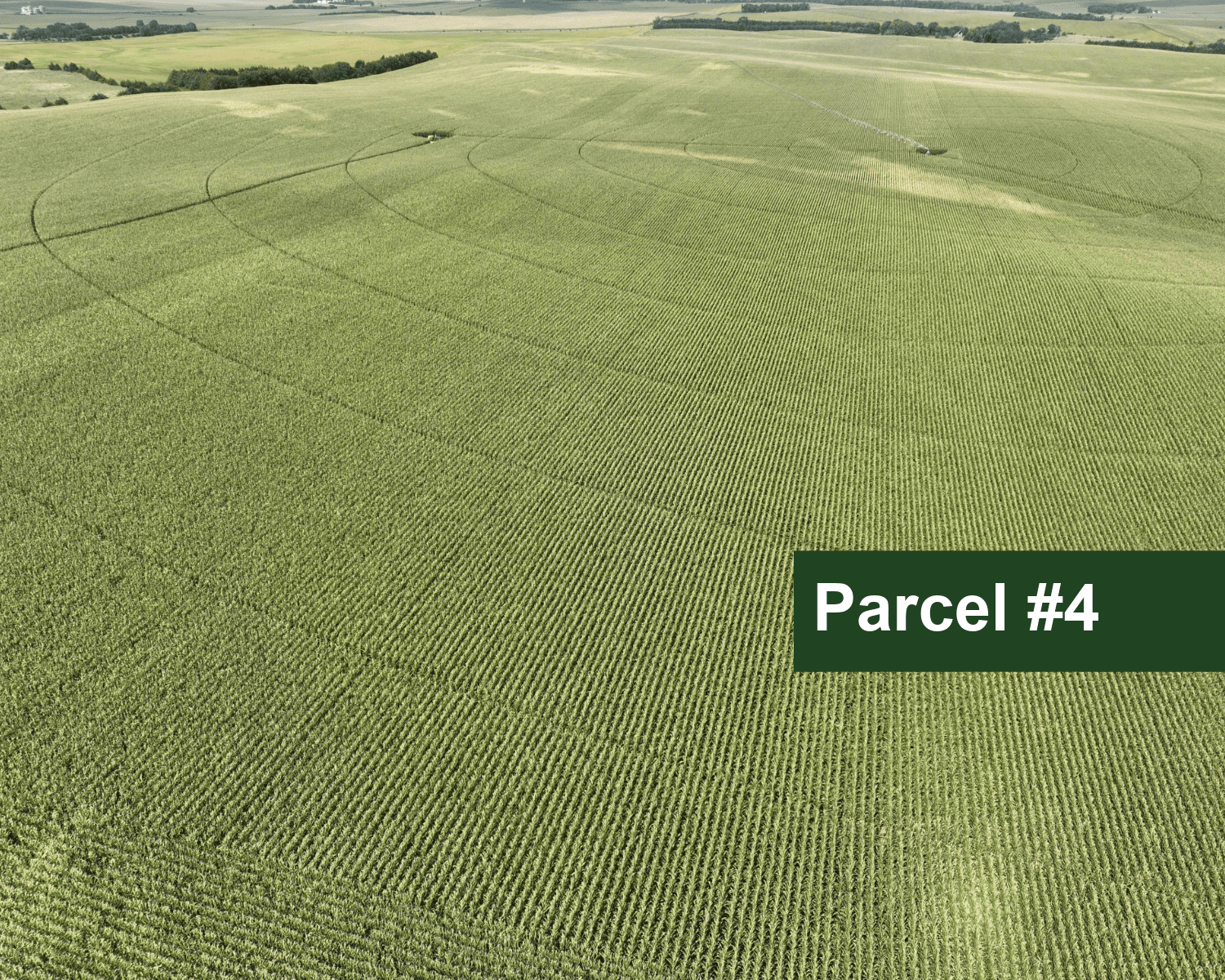
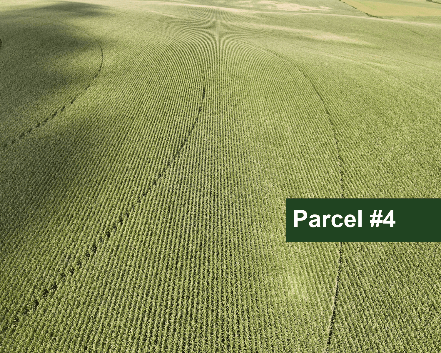
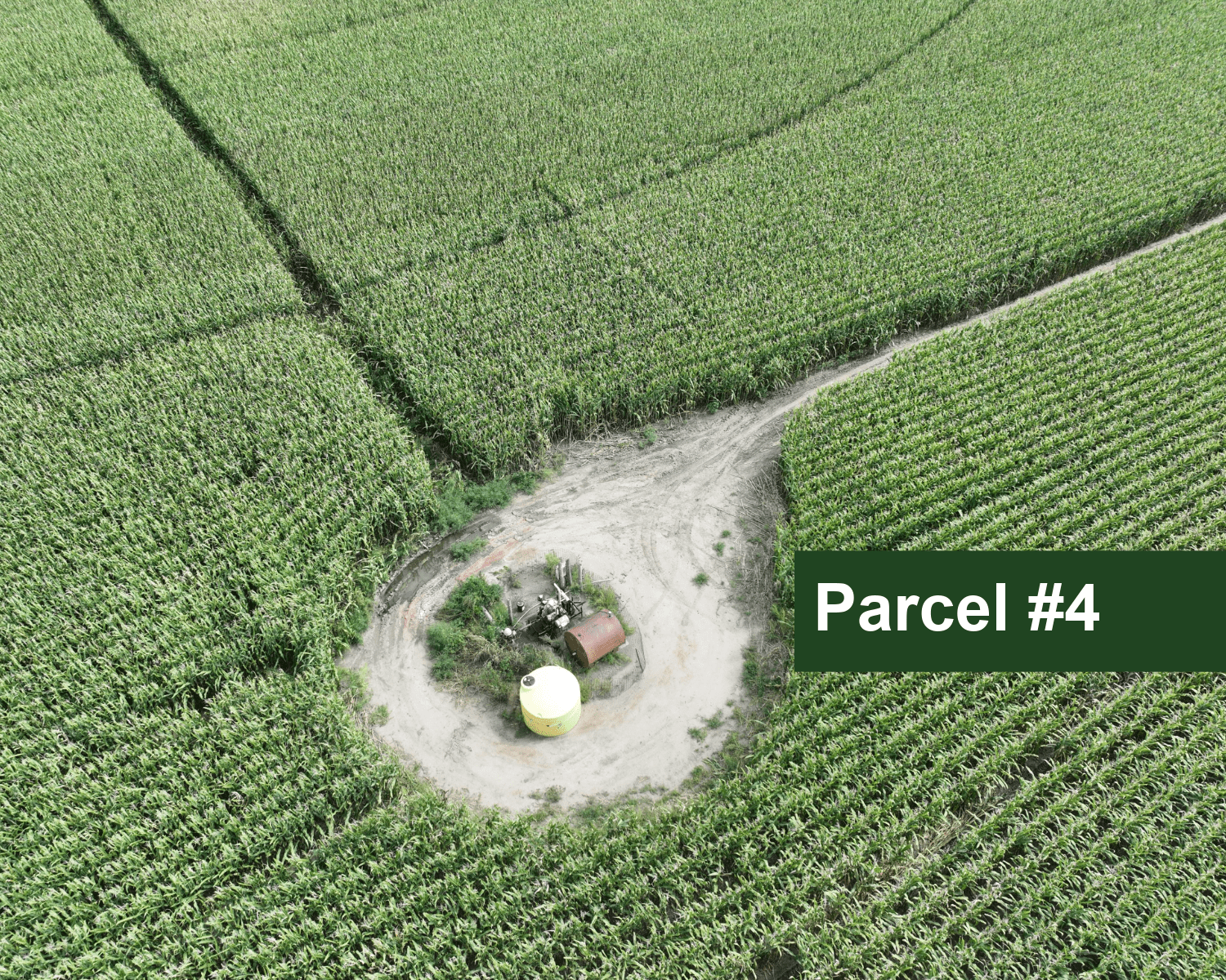
Parcel #4: SW1/4 Section 24, Township 27N, Range 2W of the 6th P.M., Pierce County, Nebraska.
LIST PRICE:
Parcel #1: $1,760,000Parcel #2: $1,200,000
Parcel #3: $1,200,000
Parcel #4: $2,000,000
TAX-ASSESSED ACRES:
Each of the 4 parcels contains 160.00 tax-assessed acres.LAND USE:
Parcel #1 consists entirely of dry cropland.Parcel #2 consists of dry cropland with pasture, recreational woodland, and a vacant improvement site.
Parcel #3 consists of dry cropland with pasture and recreational woodland.
Parcel #4 consists of pivot-irrigated cropland with dry crop corners.
PARCEL DESCRIPTION:
Parcel #1 consists of highly productive dry cropland having irrigation development potential.Parcel #2 consists of highly productive dry cropland with pasture having cropland development potential.
Parcel #3 consists of productive dry cropland with pasture having cropland development potential.
Parcel #4 is a good quality pivot-irrigated quarter.
REAL ESTATE TAXES:
Parcel #1: 2024; $4,240.90Parcel #2: 2024 Estimated; $2,300
Parcel #3: 2024; $4,240.90
Parcel #4: 2024 Estimated; $7,500
FARM SERVICE AGENCY INFORMATION:
Farm is currently operated as one unit. Total cropland: 535.30 acresPasture of Parcel #2 and the wooded wildlife areas are considered cropland by the FSA.
Base Acres:
Corn: 406.60 acres with PLC Yield of 22.00 bushels per acre
Oats: 3.5 acres with PLC Yield of 51.00 bushels per acre
Final base acre and yields to be determined by the Farm Service Agency.
SOILS SUMMARY:
Parcel #1 cropland soils consist of approximately 32% Class II, 29% Class III, and 39% Class IV silt and sandy loams with slopes of 0-11%.Parcel #2 soils consist of Class II, III, and IV silt and fine sandy loams with slopes of 0-11%.
Parcel #3 soils consist of Class II, III, and IV silt and fine sandy loams with slopes of 0-11%.
Parcel #4 soils consist of Class II, III, and IV silt and sandy loams with slopes of 0-11%.
LEASE/POSSESSION:
Full possession on March 1, 2026IRRIGATION INFORMATION:
Parcel #4Well Registration: G-052033
Completion Date: 6/15/1979 @ 800 gpm
Well Depth: 280'
Static Water: 132'
Pumping Level: 142'
Column: 9"
Pump - Sargent
Gearhead - Amarillo, 110hp
Power Unit - Cummins 4ETA 3.9T1 Diesel Motor, On Trailer, Purchased 03/2000
1,000 Fuel Tank
Pivot - Zimmatic, 9-tower (1992)
(Parcel #4 is located in the Lower Elkhorn Natural Resources District and includes a total of 134.60 certified irrigated acres.)
Property Maps
Click thumbnail to open a full size image.


