
Description:
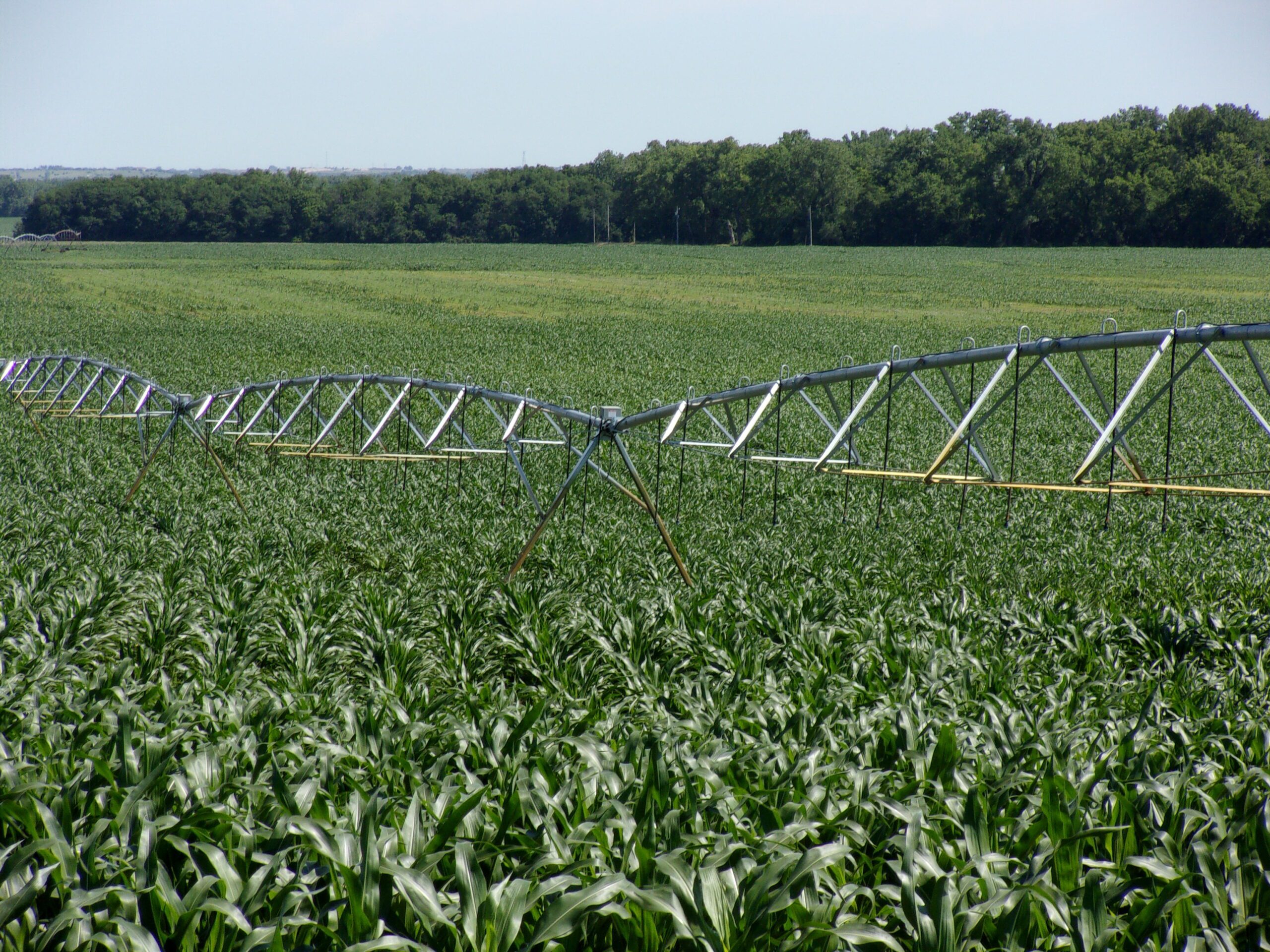
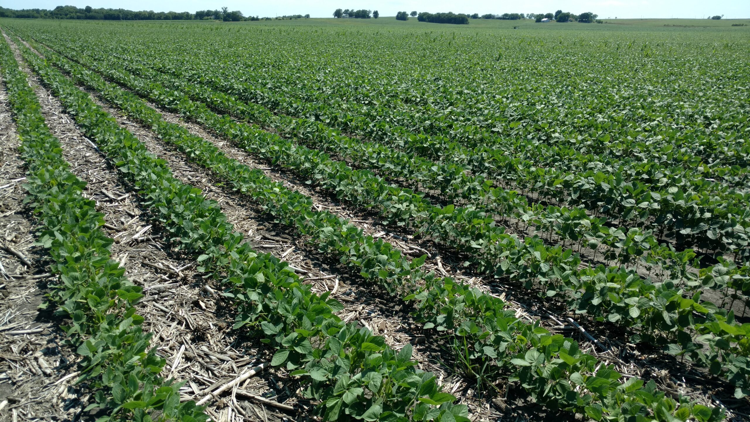
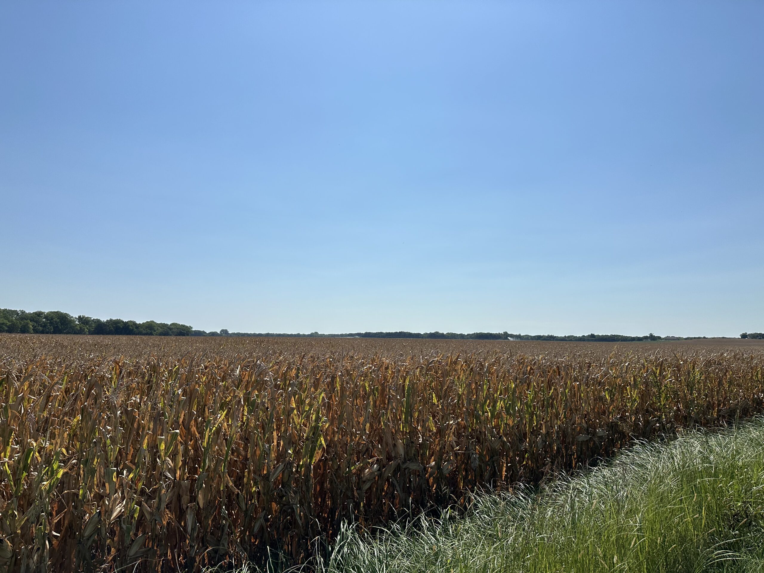
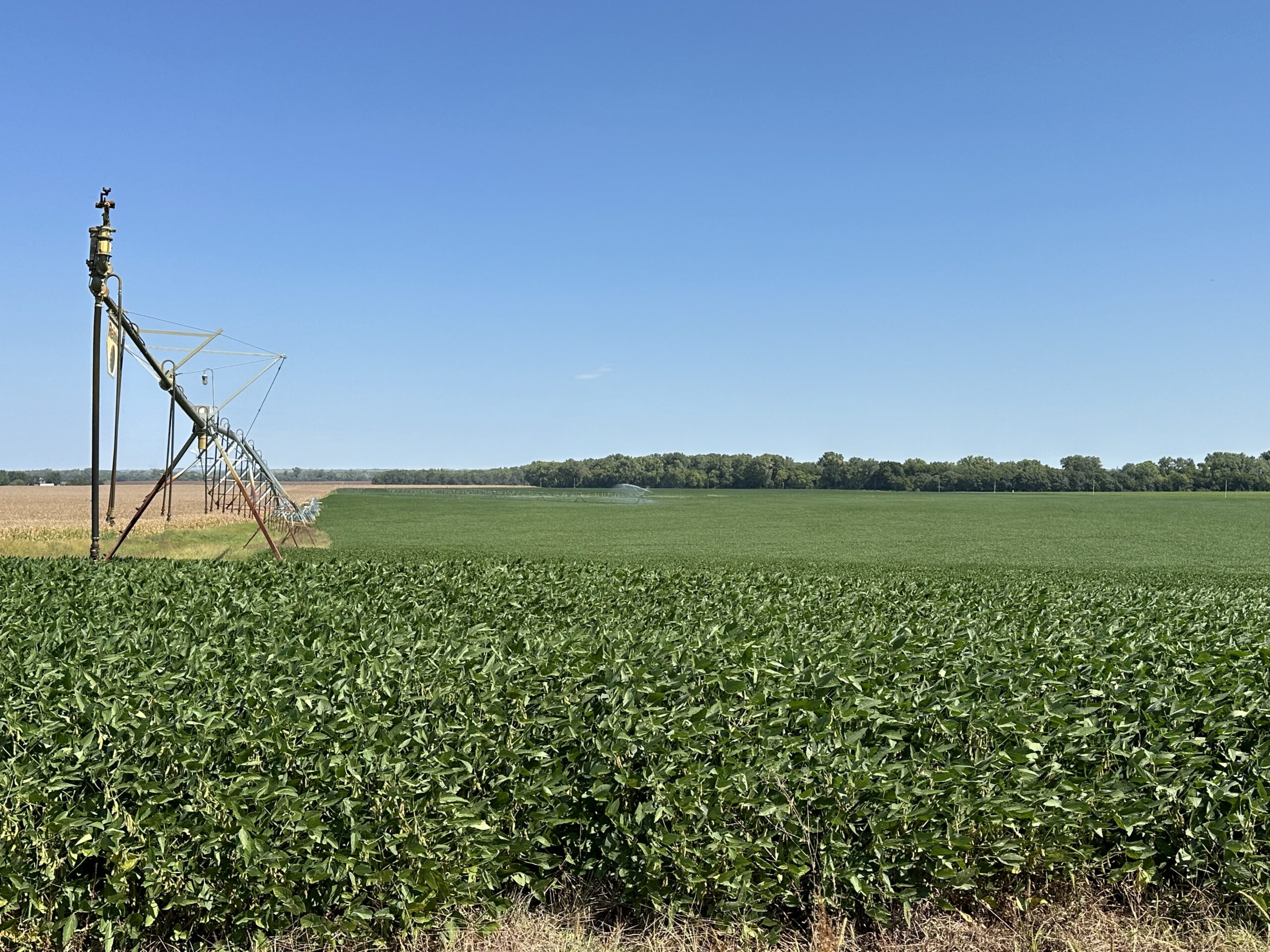
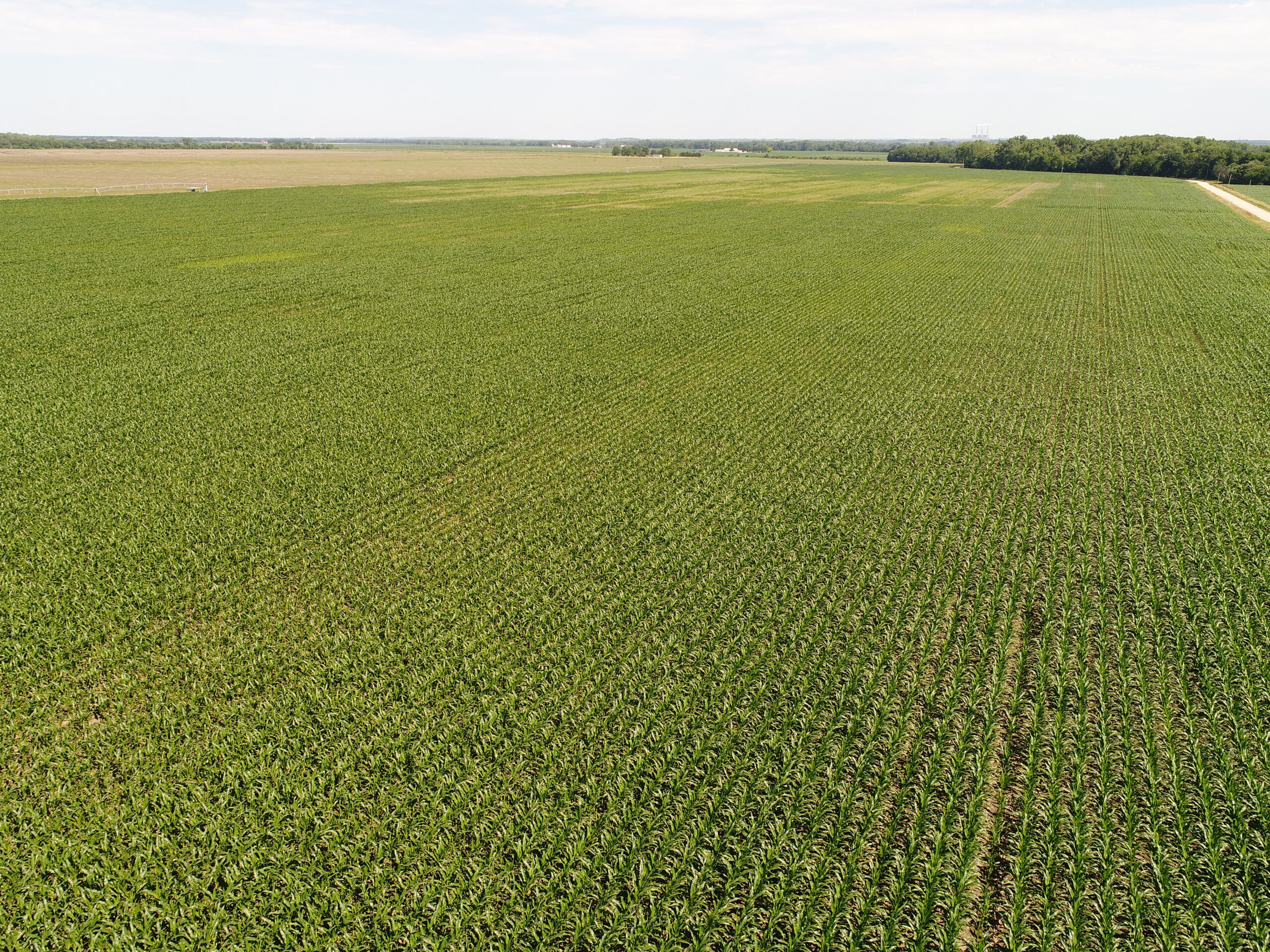
Productive, center-pivot irrigated cropland, situated in the bottomland of the Kaw river valley. An excellent recreational accent is also part of this offering, providing established timber and a wildlife refuge.
Location:
From St. Marys, Kansas: 2 miles south on Maple Hill Road, then 1.5 miles east on Sandy Hook Road, then 3 miles south on NW Maple Hill Road, then west on Turkey Creek Road for 5.5 miles until you reach the southeastern corner of the property.
Legal Description:
The South Half of the Northeast Quarter (S1/2NE1/4) and the East Half of the Southeast Quarter (E1/2SE1/4) of Section Twenty-Nine (29), Township Ten (10) South, Range Twelve (12) East of the 6th P.M., Wabaunsee County, Kansas, less road right of way.
Acres & Taxes:
Tax-assessed Acres | 153.9 acres2024 Real Estate Taxes | $3,086.44
Leases:
Current lease expiring December 31, 2024.Soils:
Primary soils on the property consist of Muscotah silty clay, with slopes ranging from 3-7%.Equipment:
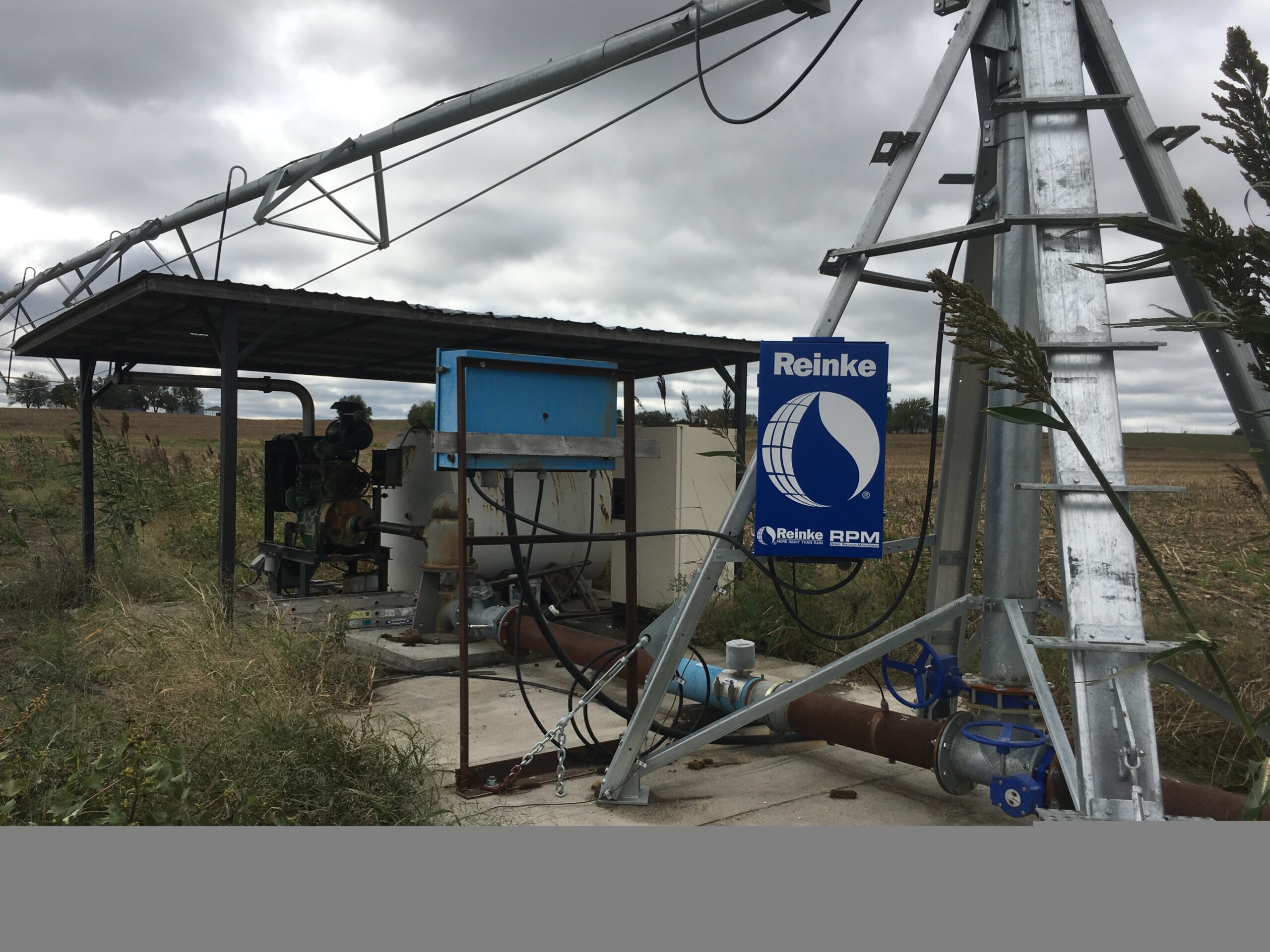
Well, pump and gearhead are owned by the Sellers. Pivots and power unit are tenant owned.FSA Information:
Total Farmland: 150.59 acresTotal Cropland: 149.77 acres
Government Base Acres:
Corn - 73.45
Soybeans - 73.45
PLC Yields:
Corn - 93 bu
Soybeans - 30 bu
Comments:
Great center-pivot cropland, accented by some great hunting access make this a desirable addition for an active farmer, investor, or outdoorsman.Property Maps
Click thumbnail to open a full size image.

